Note: closures and restrictions
מסלול נחל מכמש, בשביל השחור (מס' 8129) , סגור למטיילים. השביל הירוק (מס' 8130) , מחניון הצינורות ועד עין מבוע - סגור למטיילים. השביל הכחול (מס' 8127) , מעין מבוע ועד עין קלט - סגור למטיילים. השביל הכחול (מס' 8110) , במקטע שבין צומת השבילים עם השביל הירוק (מס' 8105) ועד מנזר סנט ג'ורג' - סגור למטיילים. בימים של עומס חום וסכנת שיטפונות הכניסה למסלולי הטיפוס והטיול בשמורה אסורה
Advance registration required
Entry needs a registration or a permit from the Israel Nature and Parks Authority. Nature reserve: שמורת הטבע נחל פרת (ואדי קלט).
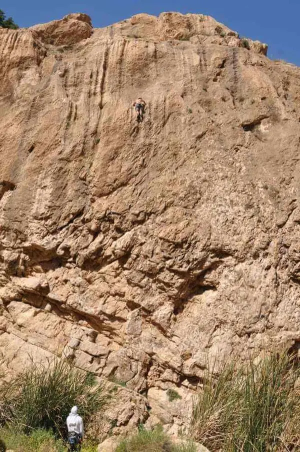
Wadi Qelt (Nahal Prat), a signed rappelling site on the stream's northern cliff, in an Israel Nature and Parks Authority reserve.
Information as of 21 Oct 2026
At a glance
- Tallest waterfall
- 35 m
- Rope needed
- 80 m
- Permit required:
- Yes
- Reserve:
- שמורת הטבע נחל פרת (ואדי קלט)
Field reports
How much water there was and how it went, from people who were here. Every report is reviewed before it is published.
No reports from this place yet
Were you here lately? Tell us how much water there was and how it went. It helps the next group plan.
Meeting point (parking)
The meeting point is the parking spot. You continue on foot from here.
Coordinates: 31.83440, 35.40420
About
Wadi Qelt, also known as Nahal Prat, runs through a cliff-lined gorge between Jerusalem and Jericho, with springs you can dip in during summer. The rappelling site is on the stream's northern cliff and is marked by an Israel Nature and Parks Authority sign.
This is probably the same site that is listed as the Ein Prat cliff, with the same reserve rules: advance booking, no entry on heat-stress or flood-risk days, and daylight only.
Getting there
איך מגיעים? מהחניה של השמורה יש להמשיך מערבה לתוך הנחל. יש לחצות את הנחל לכיוון "המצוק הצפוני". יש להמשיך לאורך המצוק הצפוני במשך עשר דקות עד שנתקלים בשלט ירוק של רט"ג שעליו כתוב אתר סנפלינג.
Access notes
From the reserve parking continue west into the stream, cross it toward the northern cliff and walk along it to the green Parks Authority sign marking the rappelling site. Entry to the reserve is by advance booking.
Waterfalls
| Measure | Value |
|---|---|
| Tallest waterfall | 35 m |
When to go
- JanuaryPossible
- FebruaryPossible
- MarchPossible
- AprilPossible
- MayPossible
- JunePossible
- JulyPossible
- AugustPossible
- SeptemberPossible
- OctoberPossible
- NovemberPossible
- DecemberPossible
- Possible
Seasons
Points on the map
- Meeting pointPrimary
31.83440, 35.40420
Safety
On heat-stress days and on days with flash flood risk, the climbing and hiking routes in the reserve are closed. Stay in the reserve during daylight only, and note that some trails are closed.
Recommendations
Suits groups that want to combine a rappel with a water walk in the stream. Book ahead and arrive in the morning.
Equipment
Ropes long enough for the cliff's longest rappel, and a helmet and harness for each rappeller.
Photos
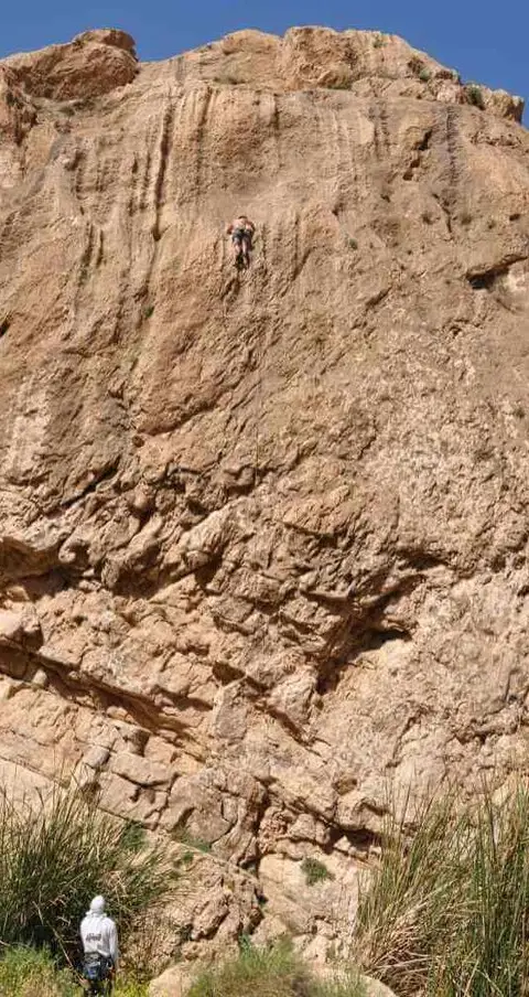
Photo: ropes.community
Photo: Community Ropes
Data sources
The information on this page was collected from these sources.
- ropes.community
- ropes.community
- parks.org.ilרשות הטבע והגנים (Israel Nature and Parks Authority), License: Israeli government (INPA) public information, facts only
External links
Comments on this site
General comments on the whole site. About one part? Use "Comments" next to its heading.
No comments here yet.