Flash flood danger
Do not enter the canyon when rain is forecast in the area or upstream, even under clear skies. Check the forecast on the morning of the trip.
Nature reserve: Qumran National Park
Keep to the reserve rules and stay on the marked trails.
Nahal Qumran, a dry canyon by the Scrolls site, with upper and lower sections done separately or together on a circular route.
Also known as: وادي قمران, Qumeran, Wadi Qumeran
- archaeology
- Dead Sea
- Desert
- family lower section
- Half day
- Scenic
Information as of 17 Oct 2026
At a glance
- Duration
- 4 h
- Trail length
- 5 km
- Tallest waterfall
- 45 m
- Number of waterfalls
- 6
- Rope needed
- 90 m
- Shuttle
- Not needed
- Water
- Dry
- To the first waterfall:
- 700 m
- Circular route:
- Yes
- Flash flood risk:
- High
- Permit required:
- No
- Reserve:
- Qumran National Park
Field reports
How much water there was and how it went, from people who were here. Every report is reviewed before it is published.
No reports from this place yet
Were you here lately? Tell us how much water there was and how it went. It helps the next group plan.
Meeting point (parking)
Qumran National Park parking
The meeting point is the parking spot. You continue on foot from here.
Coordinates: 31.74583, 35.46672
About
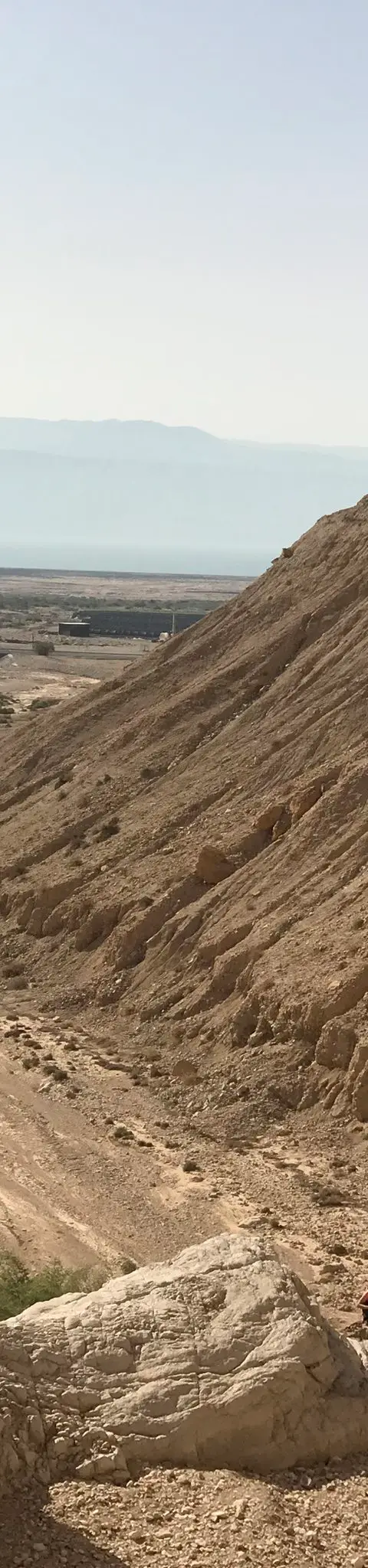
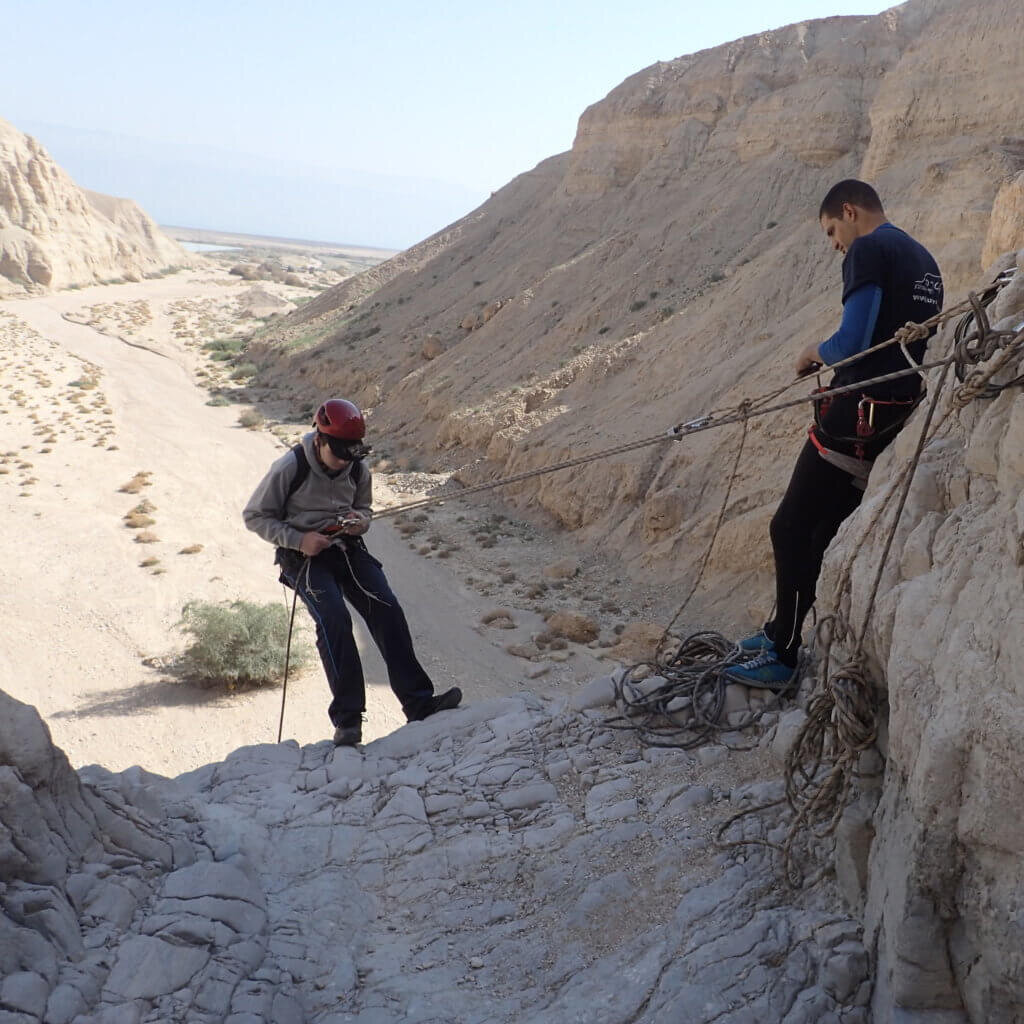
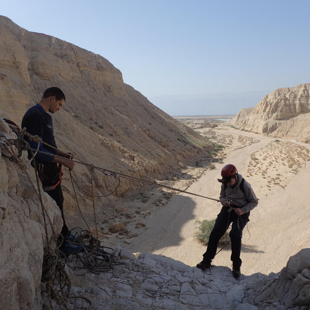
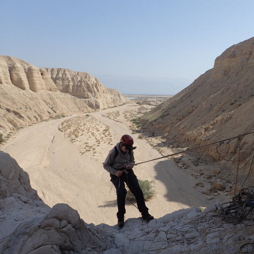
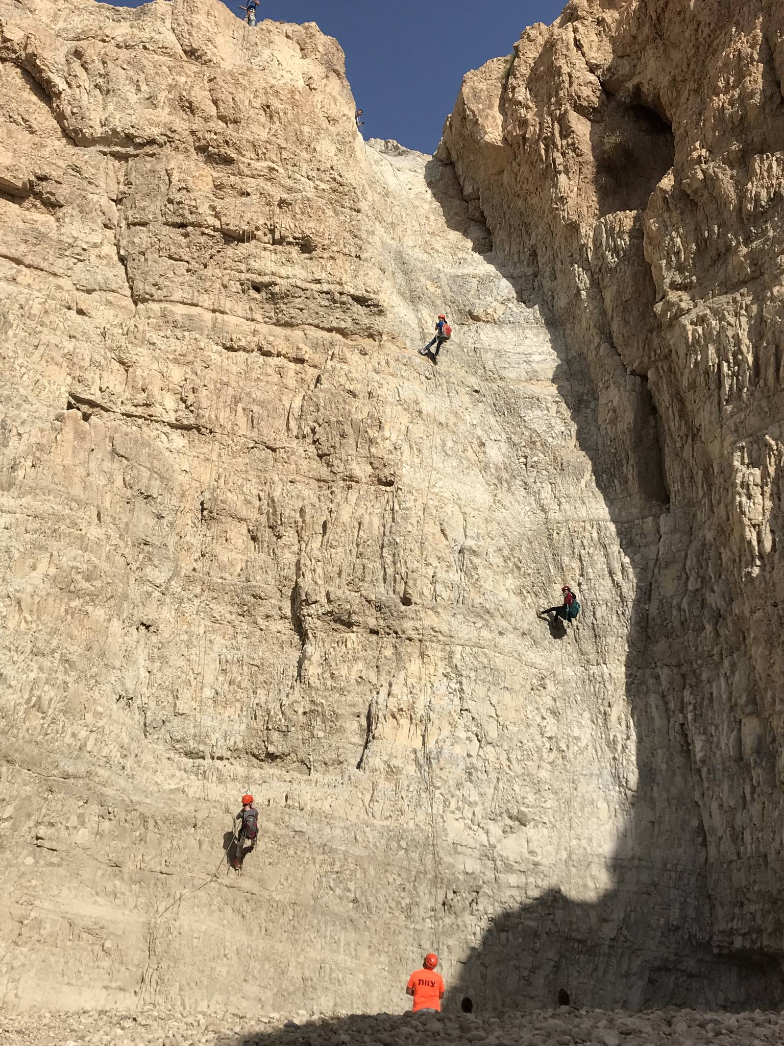
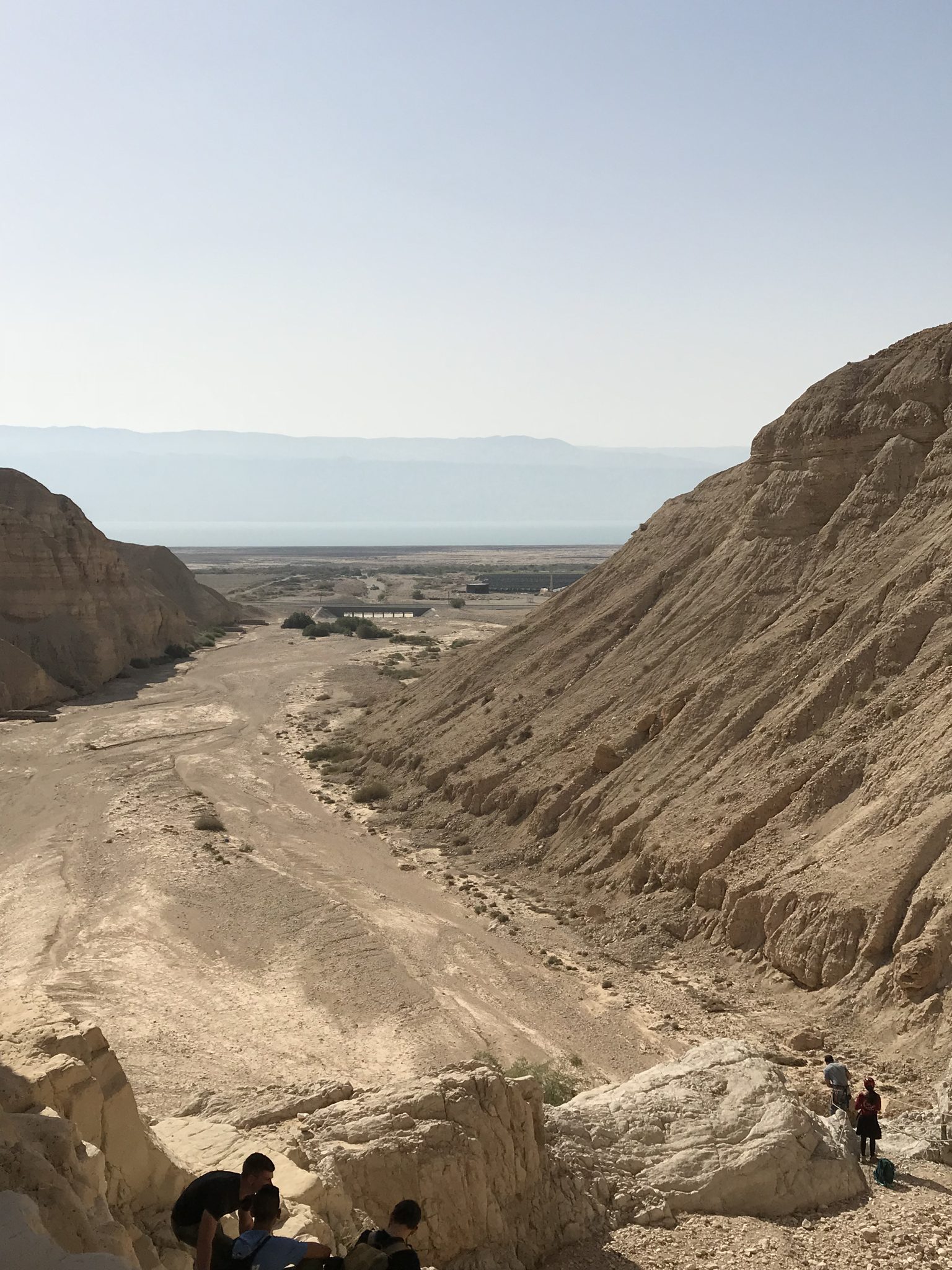
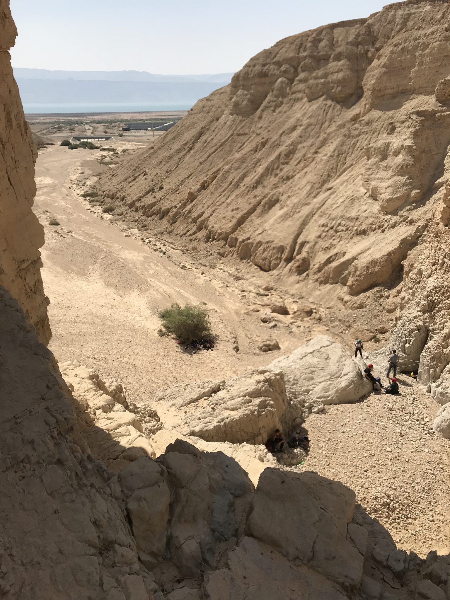
Nahal Qumran drops to the Dead Sea next to Qumran National Park, the site of the Dead Sea Scrolls. It is a dry canyon in a reserve where rappelling is permitted, with bolted drops of varying height and open views to the Dead Sea and the mountains of Jordan.
The canyon has two sections: Upper Qumran, which starts with a short, steep climb, and Lower Qumran, reached on mostly flat ground. You can do either one alone or both together, and every option is circular, starting and ending by the national park. The combination suits advanced rappellers, while a single section also works for beginners.
There are two ways in: through the national park, paid, with close parking and toilets, or from Kibbutz Kalia, free, with a little extra walking. There is cell coverage along the whole canyon.
Access notes
Two options. Through Qumran National Park (Waze: 'גן לאומי קומראן'): paid, with parking close to the start and end of the route, but the park only opens in the morning. Through Kibbutz Kalia (Waze: 'בית עלמין אזורי מגילות'): park behind the cemetery and walk a short way to the start, free and not tied to opening hours.
Parking
The Qumran National Park parking, with toilets and picnic tables, or free parking behind the Megilot regional cemetery at Kalia.
Difficulty and suitability
- Difficulty
- Moderate
- Good for beginners
- Yes
- Minimum age
- From age 10
- Recommended group size
- Up to 15 people
- Typical duration
- 4 h
- Hiking distance
- 5 km
- Elevation gain
- 300 m
- Water activity
- No
- Route type
- Dry
Waterfalls
| Measure | Value |
|---|---|
| Tallest waterfall | 45 m |
| Number of waterfalls | 6 |
When to go
- JanuaryPossible
- FebruaryPossible
- MarchBest
- AprilBest
- MayBest
- June
- July
- August
- September
- OctoberBest
- NovemberBest
- DecemberPossible
- Best
- Possible
Water: שיטפון אחרון בנחל - ללא מעברי מים נכון ל-10/26
Seasons
Points on the map
- ParkingPrimary
31.74583, 35.46672
- Meeting pointחניון גן לאומי קומראן, ליד שולחנות הפיקניק. ניווט ל-'קומראן' בוויז.
31.74130, 35.45870
- Route endNahal Qumran at Route 90
31.73781, 35.46076
Safety
High flash flood risk: in winter check for flood warnings, in summer for heat stress. Start in the early morning. The climb to Upper Qumran has a section so steep it is almost a scramble.
Weather constraints
פתוח אוקטובר עד מאי. בקיץ (יולי-אוגוסט) חם מדי לפעילות. אסור להיכנס בזמן התרעות שיטפון. מומלץ להתחיל בשעות הבוקר המוקדמות.
Recommendations
A single section suits beginners and children with basic experience, and the combination suits advanced rappellers and fit groups. Autumn and spring are the best seasons. A tour of Qumran National Park is worth adding.
Equipment
One long rope covers every drop. A harness and helmet for each rappeller, and plenty of water.
Photos
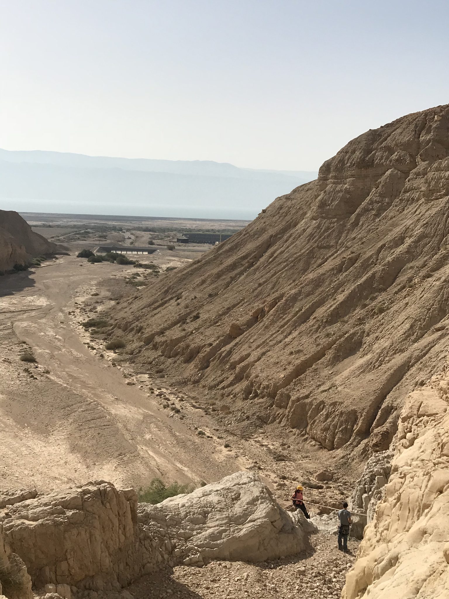
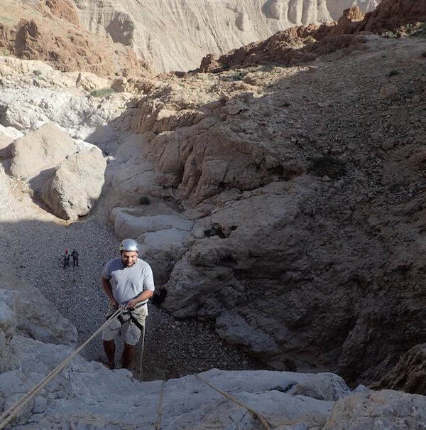
נחל קומראן, מאי 2018 Photo: נדב כהן

ואדי קומראן - מבט על הקניון ומערות קומראן Photo: Grauesel, CC BY-SA 3.0

ואדי קומראן ומערות קומראן Photo: Dr. Avishai Teicher, CC BY 2.5
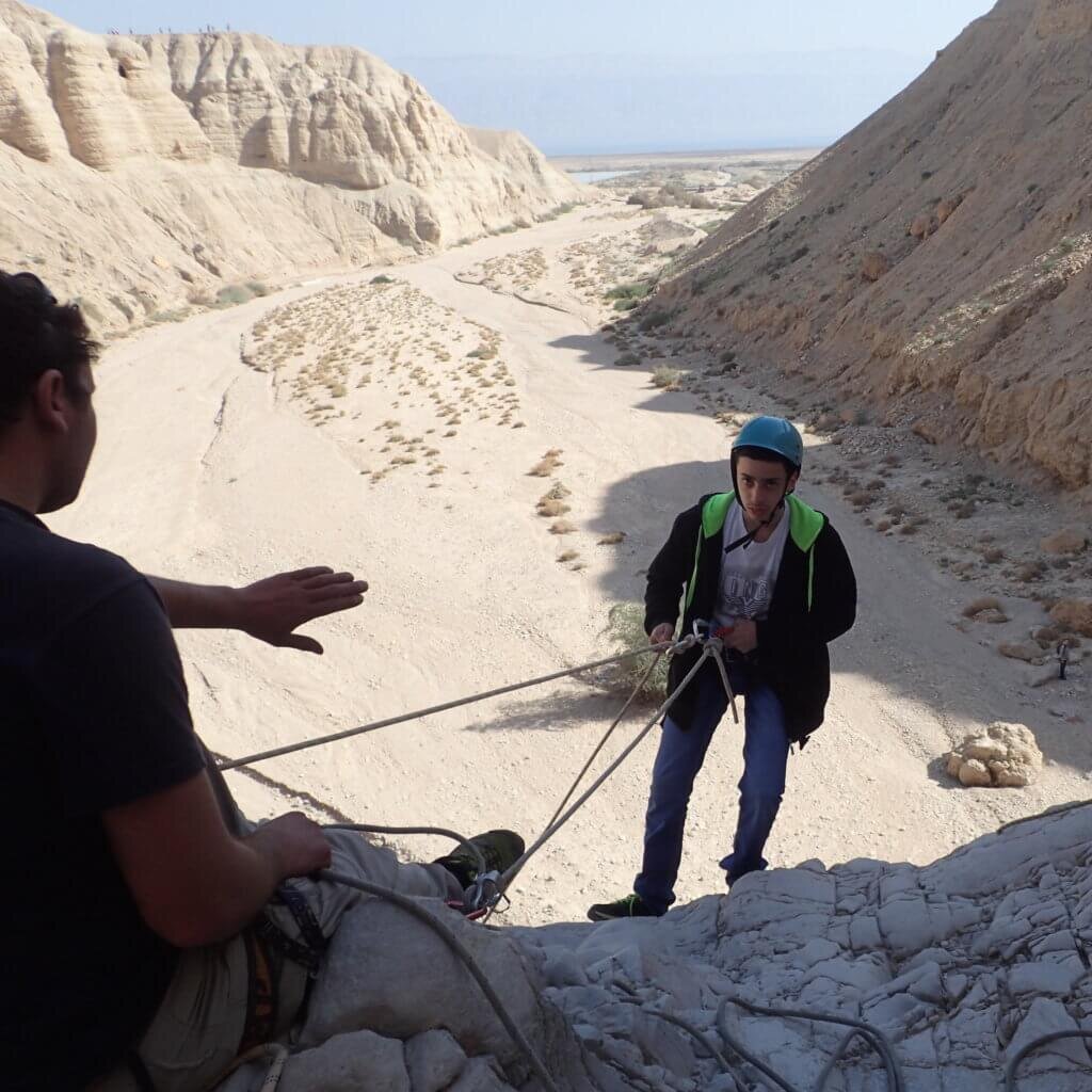
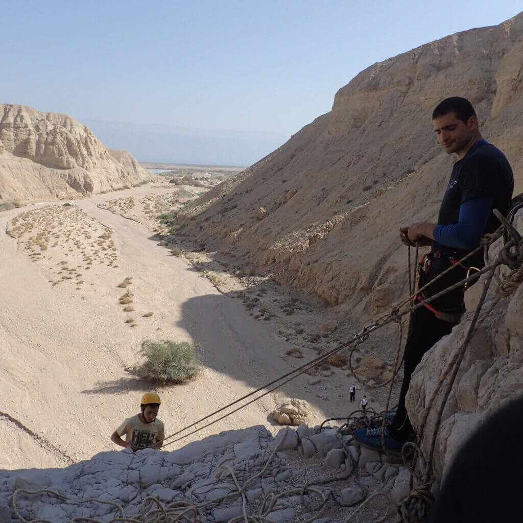
Photo: Community Ropes
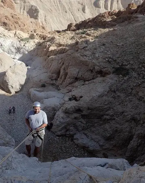
Photo: Community Ropes
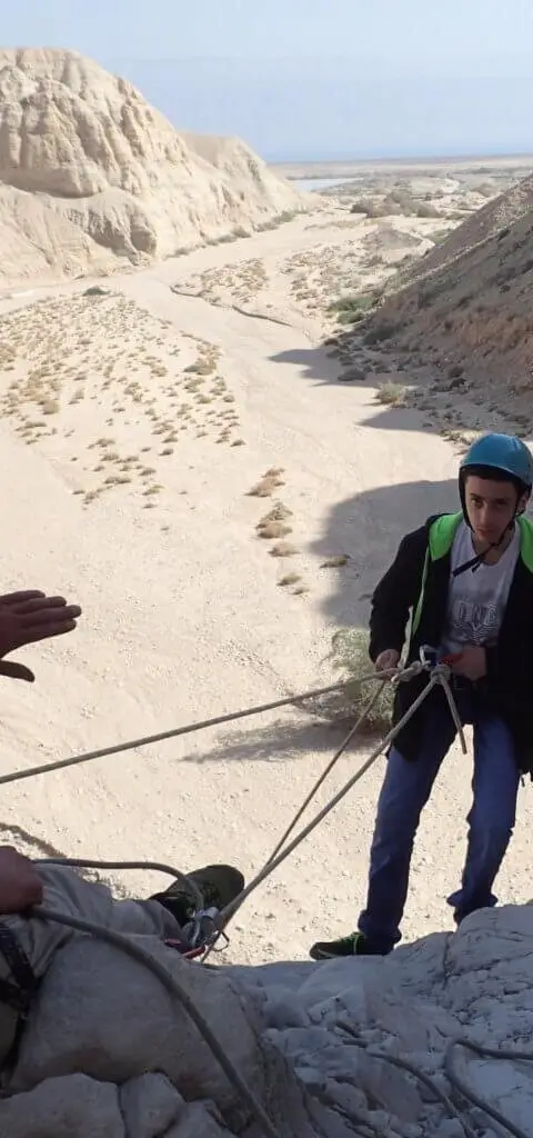
Photo: Community Ropes
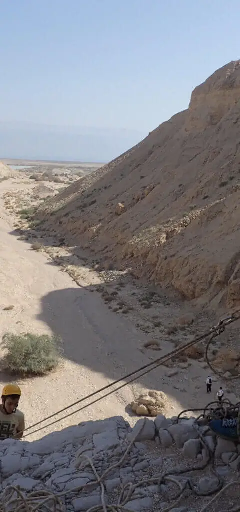
Photo: Community Ropes
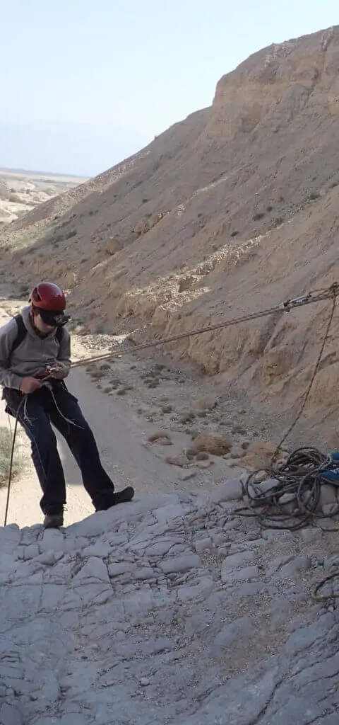
Photo: Community Ropes
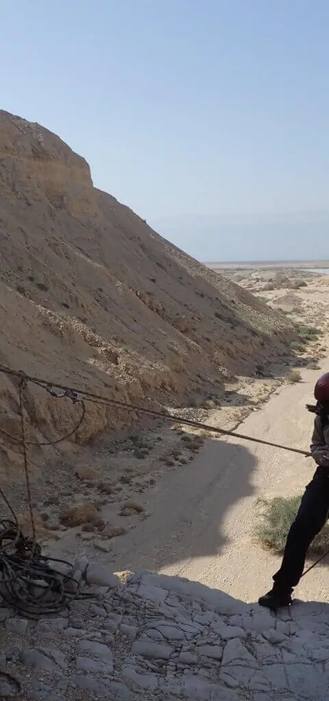
Photo: Community Ropes
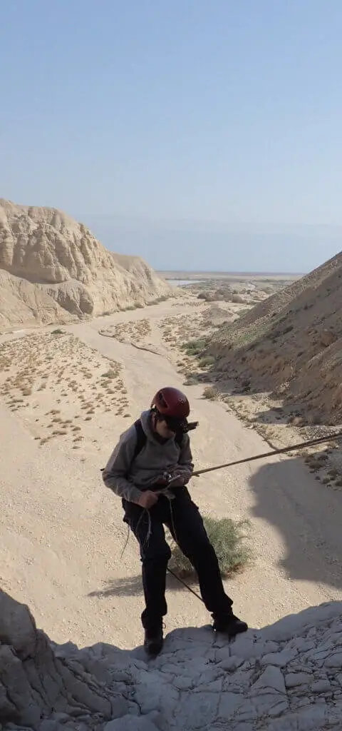
מפל IV Photo: Community Ropes
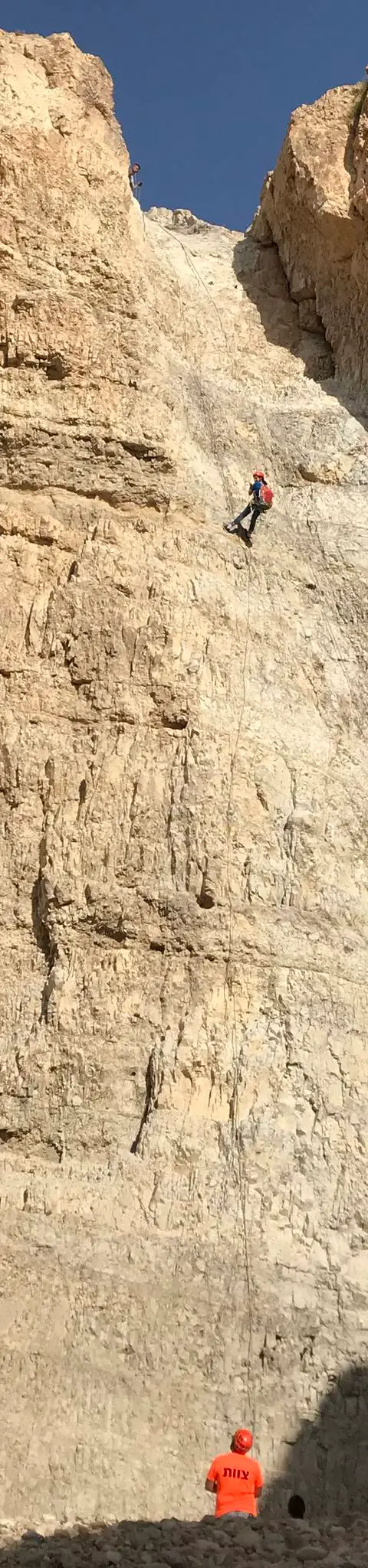
נחל קומראן, מאי 2018 Photo: נדב כהן
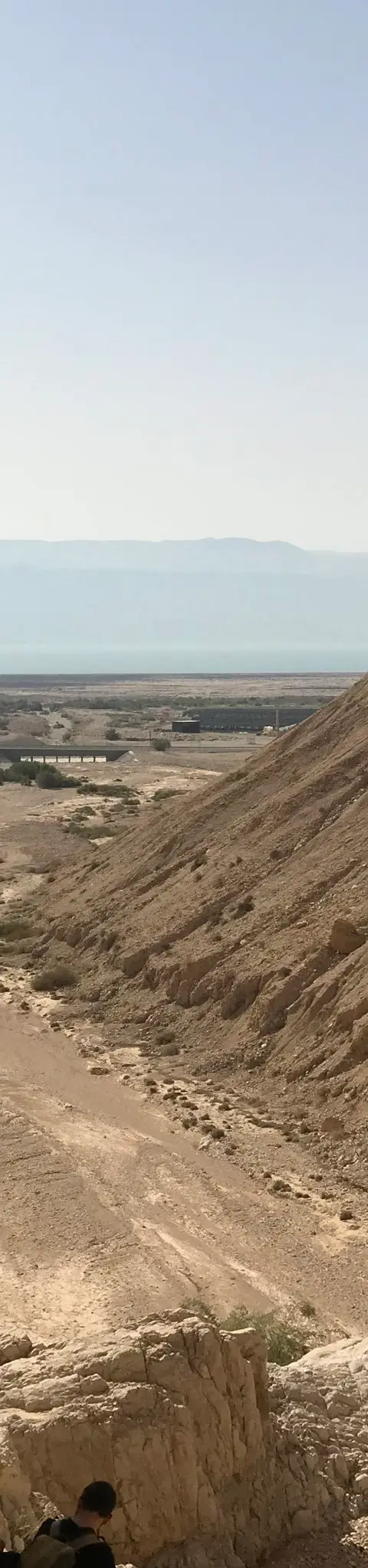
נחל קומראן, מאי 2018 Photo: נדב כהן
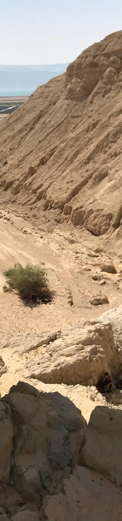
נחל קומראן, מאי 2018 Photo: נדב כהן



Data sources
The information on this page was collected from these sources.
- bashetach.co.ilbashetach.co.il, License: all rights reserved (blog content)
- sharloetgarim.co.il
- ropes.community
- ropes.community
- radius.co.il
- openstreetmap.org© OpenStreetMap contributors, License: ODbL 1.0
- canaan-canyoning.xyzcanaan-canyoning.xyz
- Facts consulted in a Judean Desert guidebook
External links
Comments on this site
General comments on the whole site. About one part? Use "Comments" next to its heading.
No comments here yet.