Note: closures and restrictions
נכון ל-8/26 ישנם בעיות משפטיות בנוגע לחוקיות הגלישה במפלי הג'ילבון מול רט"ג. עד להתבהרות חוקיות הגלישה במקום, נעצור את פעילותנו בג'ילבון.
Nature reserve: שמורת טבע מורדות הגולן
Keep to the reserve rules and stay on the marked trails.
A flowing Golan stream where Devora and Jilbon falls are rappelled into pools, although the legality of rappelling here is currently disputed.
Also known as: Gilbon, Nahal Gilbon, Gilbon River, ג'ילבון
- Good for beginners
- Families
- Scenic
- Water
Information as of 12 Oct 2026
At a glance
- Duration
- 6 h
- Trail length
- 4.6 km
- Tallest waterfall
- 40 m
- Number of waterfalls
- 2
- Rope needed
- 90 m
- Water
- You get wet
- Circular route:
- No
- Permit required:
- No
- Reserve:
- שמורת טבע מורדות הגולן
Field reports
How much water there was and how it went, from people who were here. Every report is reviewed before it is published.
No reports from this place yet
Were you here lately? Tell us how much water there was and how it went. It helps the next group plan.
Meeting point (parking)
חניון מפל דבורה, שמורת ג'ילבון, רמת הגולן
The meeting point is the parking spot. You continue on foot from here.
Coordinates: 33.03758, 35.66211
About
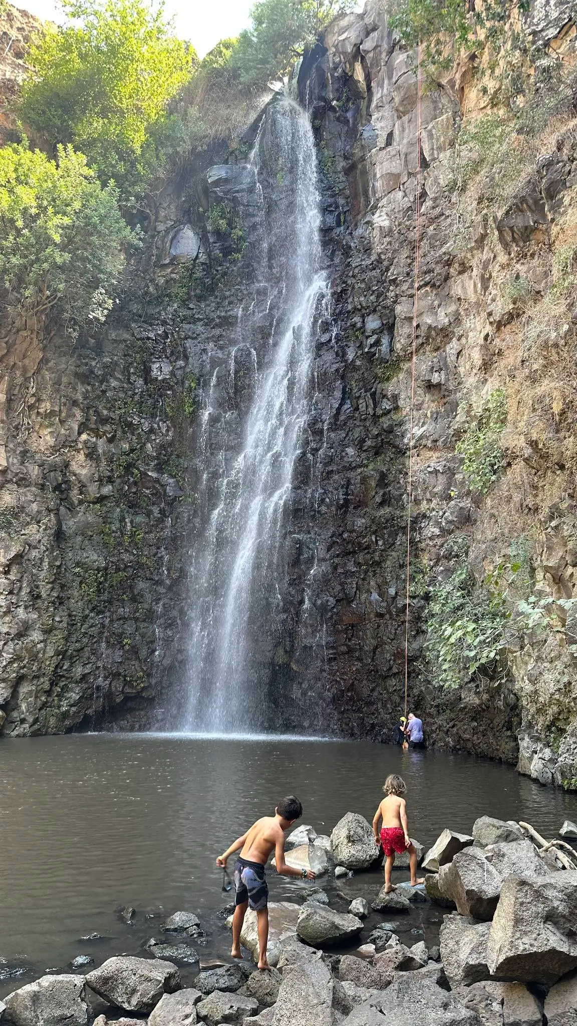
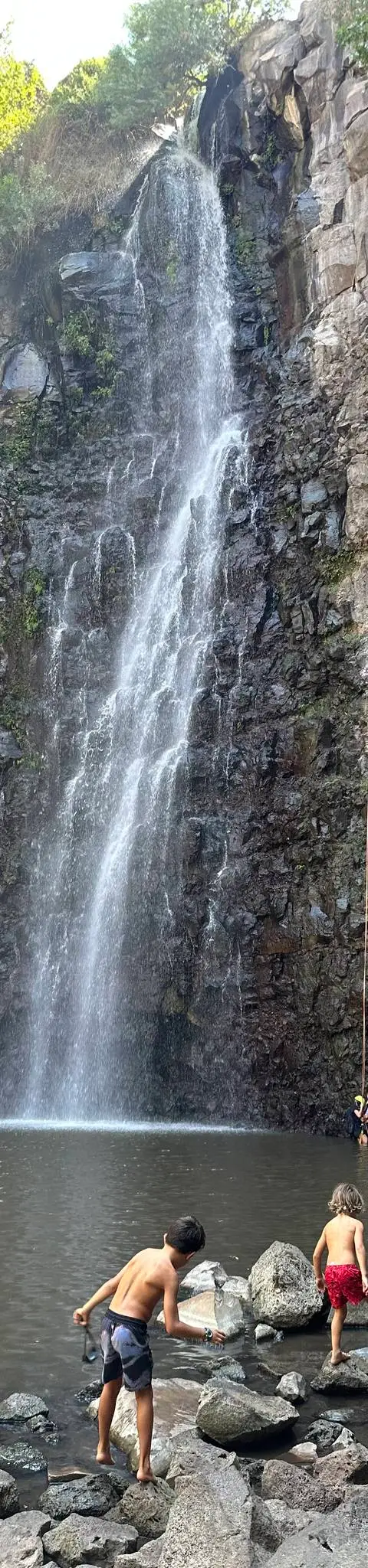
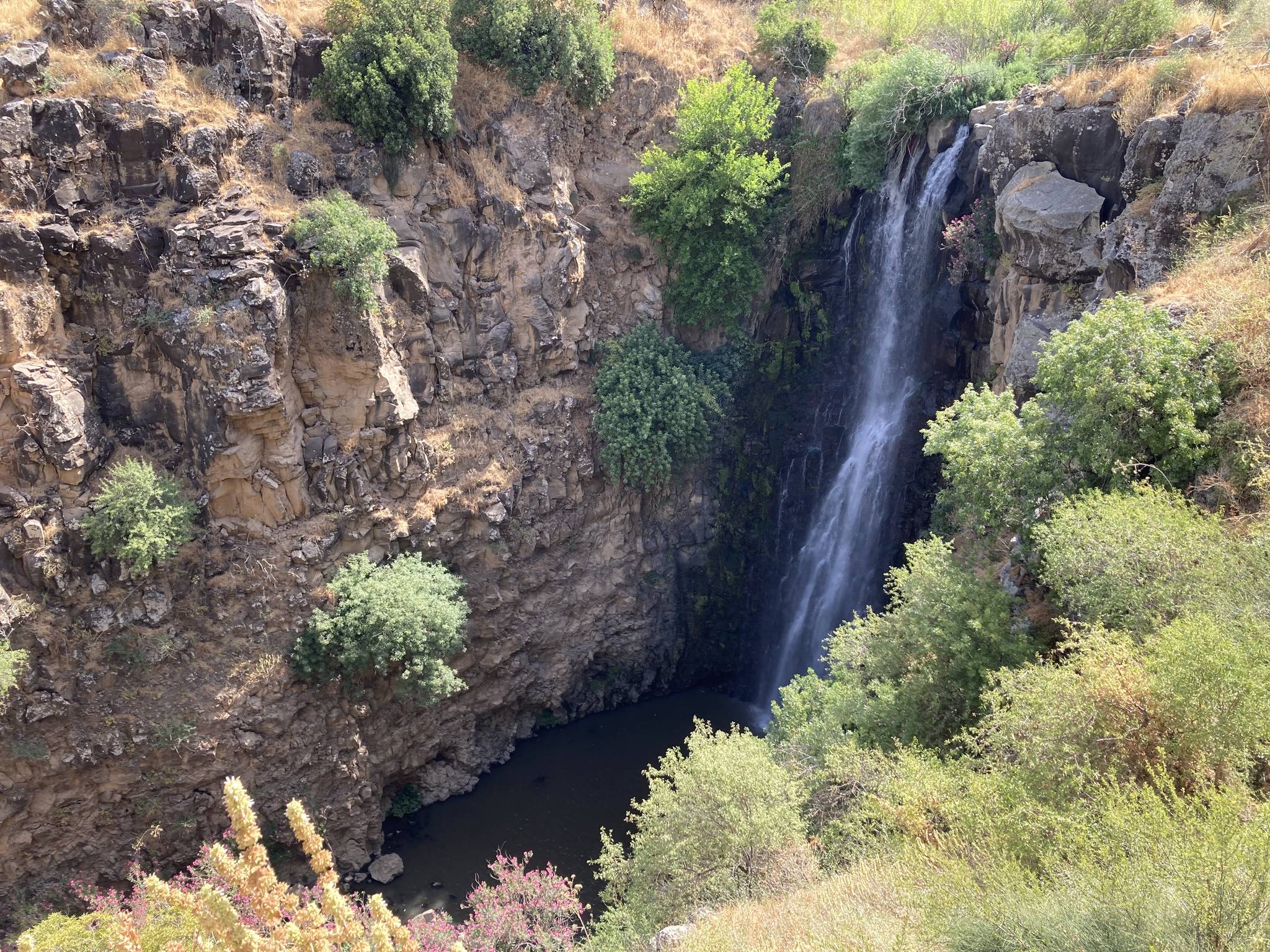
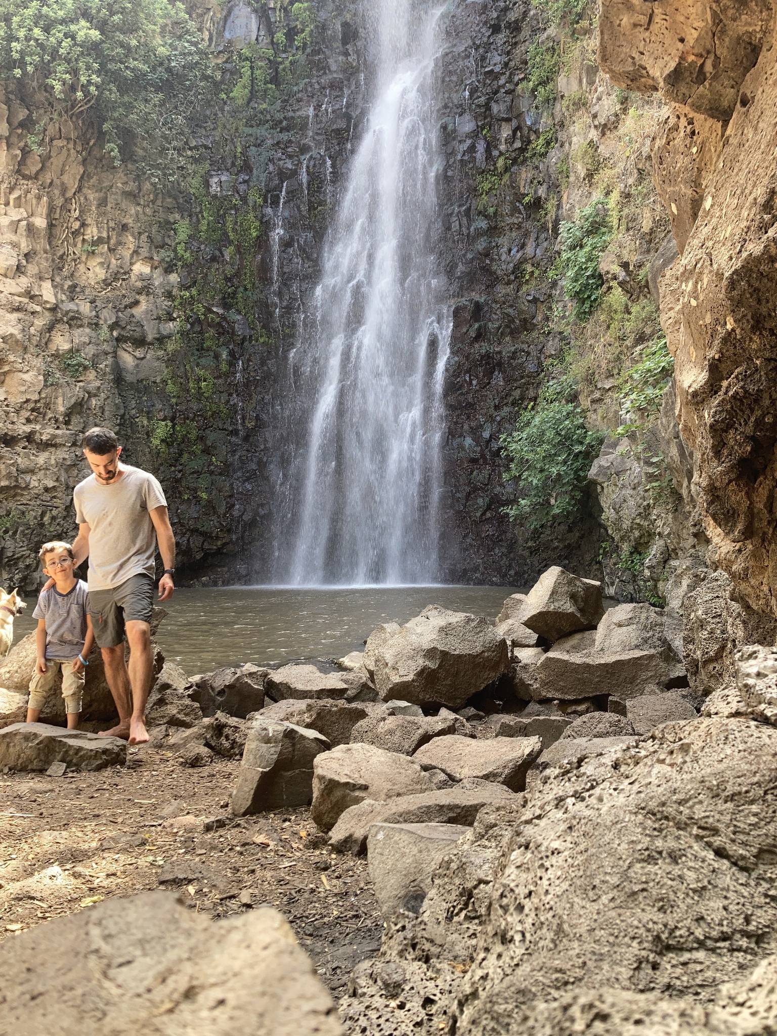
Nahal Jilbon flows through the Golan Slopes reserve near Katzrin, and its route has impressive waterfalls: Devora Falls, with a pool at its foot, and the taller Jilbon Falls, which also lands in a pool. The walk between them is easy, but the route is wet and includes swimming.
At Devora Falls the anchors are far from the edge: you can rappel from the north side, anchoring to two large boulders, or from the south side, using holes in the rock and wrapped boulders, minding the thick brush. At Jilbon Falls you can rappel inside the flow, anchoring on trees and rocks, or beside it from a large boulder and a tree.
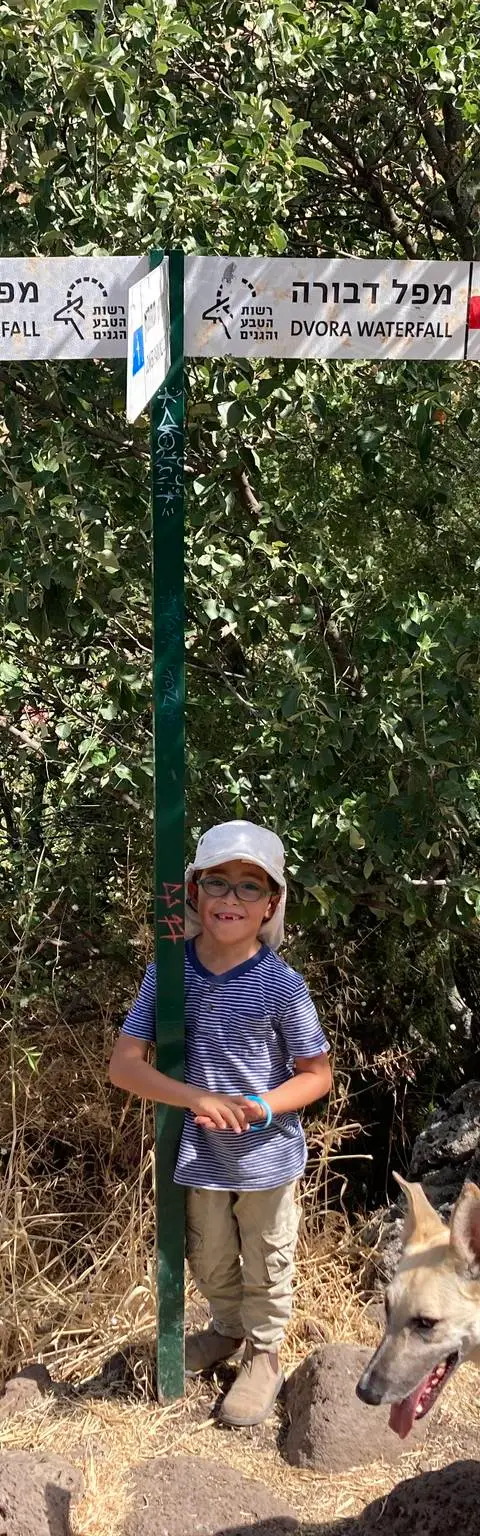
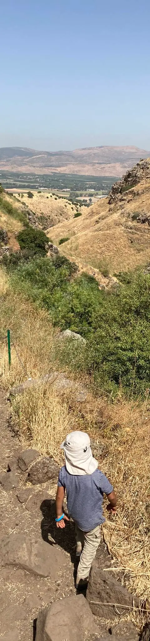
Each waterfall has its own parking and path down: the red trail to Devora Falls and the blue trail to Jilbon Falls. You can return the same way, close a loop on the jeep track or run a car shuttle between the parkings. At present there is a legal dispute with the Israel Nature and Parks Authority over whether rappelling at the Jilbon falls is allowed, and operators have stopped activity there until it is resolved.
Getting there
נפגשים בחניית מפל דבורה, אזור קצרין.
Access notes
The usual meeting point is the Devora Falls parking near Katzrin. From the Devora Falls parking take the red trail down to the falls; from the Jilbon Falls parking take the blue trail. On the way back you can retrace your steps, return on the jeep track or shuttle cars. A second car or a bus can continue from the road along the blue track instead of turning into the Devora parking, and wait at the end of the route.
Parking
Two parking areas: the Devora Falls parking, the usual meeting point, and the Jilbon Falls parking, used as the end point or for a car shuttle. Entry to the reserve is free.
Difficulty and suitability
- Difficulty
- Moderate
- Good for beginners
- Yes
- Minimum age
- From age 10
- Recommended group size
- Up to 20 people
- Typical duration
- 6 h
- Hiking distance
- 4.6 km
- Elevation gain
- 183 m
- Water activity
- Yes
- Route type
- Wet
Descent profile
Scroll sideways for details
Waterfalls(2)
| # | Name | Height | Obstacle | Profile | Landing | Anchor | Bolts and stations | Rope | From previous | Details |
|---|---|---|---|---|---|---|---|---|---|---|
| 1 | מפל דבורהUpdated 12 Oct 2026 | Height: 15 mOther source: 13 m (sharloetgarim.co.il, 2026)Other source: 15 m (bashetach.co.il, 2022) | Waterfall / rappel | – | Pool | Natural anchor | – | 40 m | – | |
| ||||||||||
| 2 | מפל הג'ילבוןUpdated 12 Oct 2026 | Height: 40 mOther source: 40 m (sharloetgarim.co.il, 2026)Other source: 42 m (bashetach.co.il, 2022)Other source: 40 m (rybakian.com, 2019) | Waterfall / rappel | – | Pool | Natural anchor | – | 90 m | – | |
| ||||||||||
When to go
- JanuaryBetter avoided
- FebruaryBetter avoided
- March
- April
- May
- JuneBest
- JulyBetter avoided
- AugustBetter avoided
- SeptemberBest
- October
- November
- DecemberBetter avoided
- Best
- Better avoided
Water: קחו הרבה מים - יש לנו נטייה לשכוח לשתות במסלולים עם מים
Seasons
Points on the map
- ParkingPrimary
33.03758, 35.66211
- Waterfallמפל גילבון
33.03970, 35.66204
Safety
Right now the legality of rappelling at the Jilbon falls is disputed with the Israel Nature and Parks Authority: check the current status before planning. The stream is wet and swimming is a must. Stones fall at Jilbon Falls and there are bathers in the pool below, so coordinate with them before rappelling. In winter the water is very cold. Entry to the reserve closes before the listed closing time.
Weather constraints
הסנפלינג אפשרי כל השנה כאשר המפלים זורמים. בחורף המים עשויים להיות חזקים מדי. בקיץ הזרימה חלשה יותר אך עדיין קיימת.
Recommendations
Suits families and beginners who swim well, provided rappelling is allowed at the time of the visit. The season is summer, when rappelling into water is a pleasure. On wet routes people forget to drink, so carry plenty of water. Ein Sultan and Ein Almin are worth a visit nearby.
Equipment
Two ropes long enough for the tall fall, plus a short extra rope for the distant anchors. If you have a single long rope, bring a short one for the anchors too. A harness, helmet and dry bag for each participant, since everything gets wet.
Photos

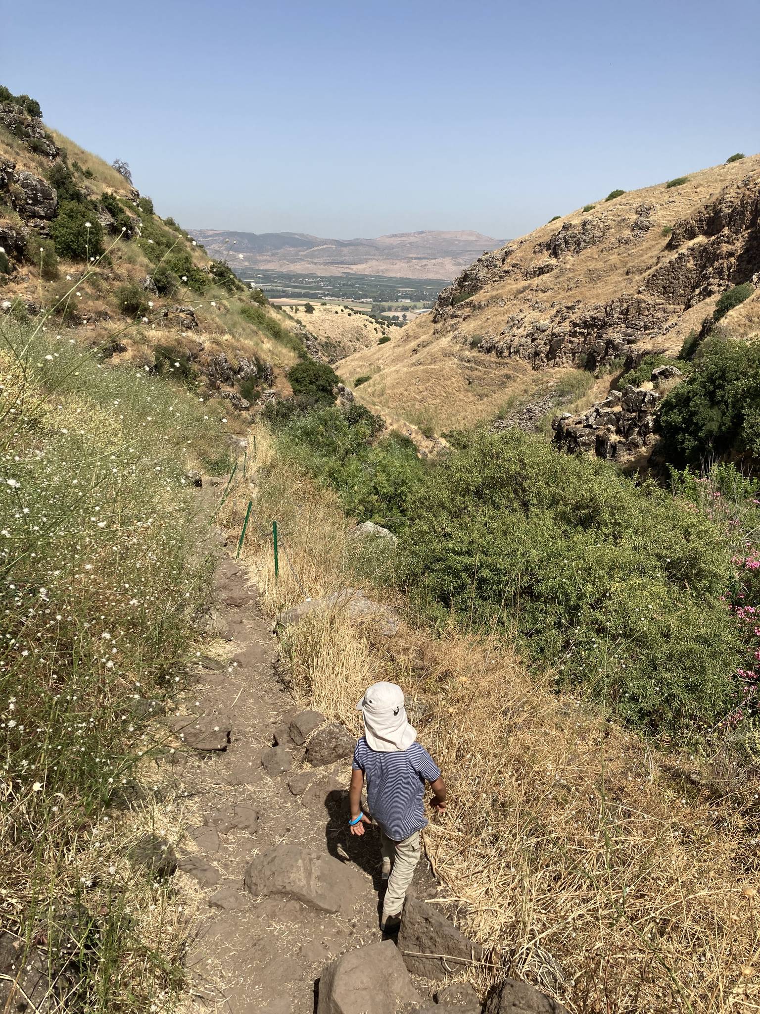
נחל ג'ילבון, רמת הגולן Photo: עמי בן עמרם, CC BY 2.5
נחל ג'ילבון, אוגוסט 2023 Photo: נדב כהן

מפל דבורה בנחל ג'ילבון, רמת הגולן Photo: עמי בן עמרם, CC BY 2.5
נחל ג'ילבון, יוני 2021 Photo: נדב כהן
נחל ג'ילבון, יוני 2021 Photo: נדב כהן
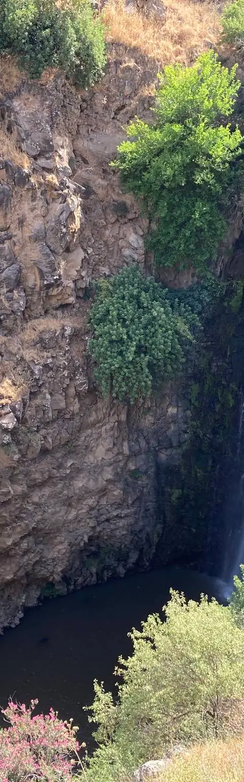
נחל ג'ילבון, יוני 2021 Photo: נדב כהן
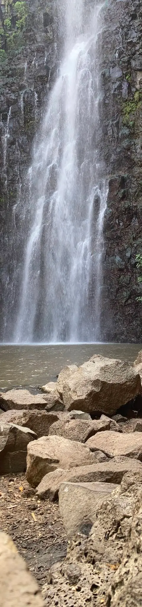
נחל ג'ילבון, יוני 2021 Photo: נדב כהן

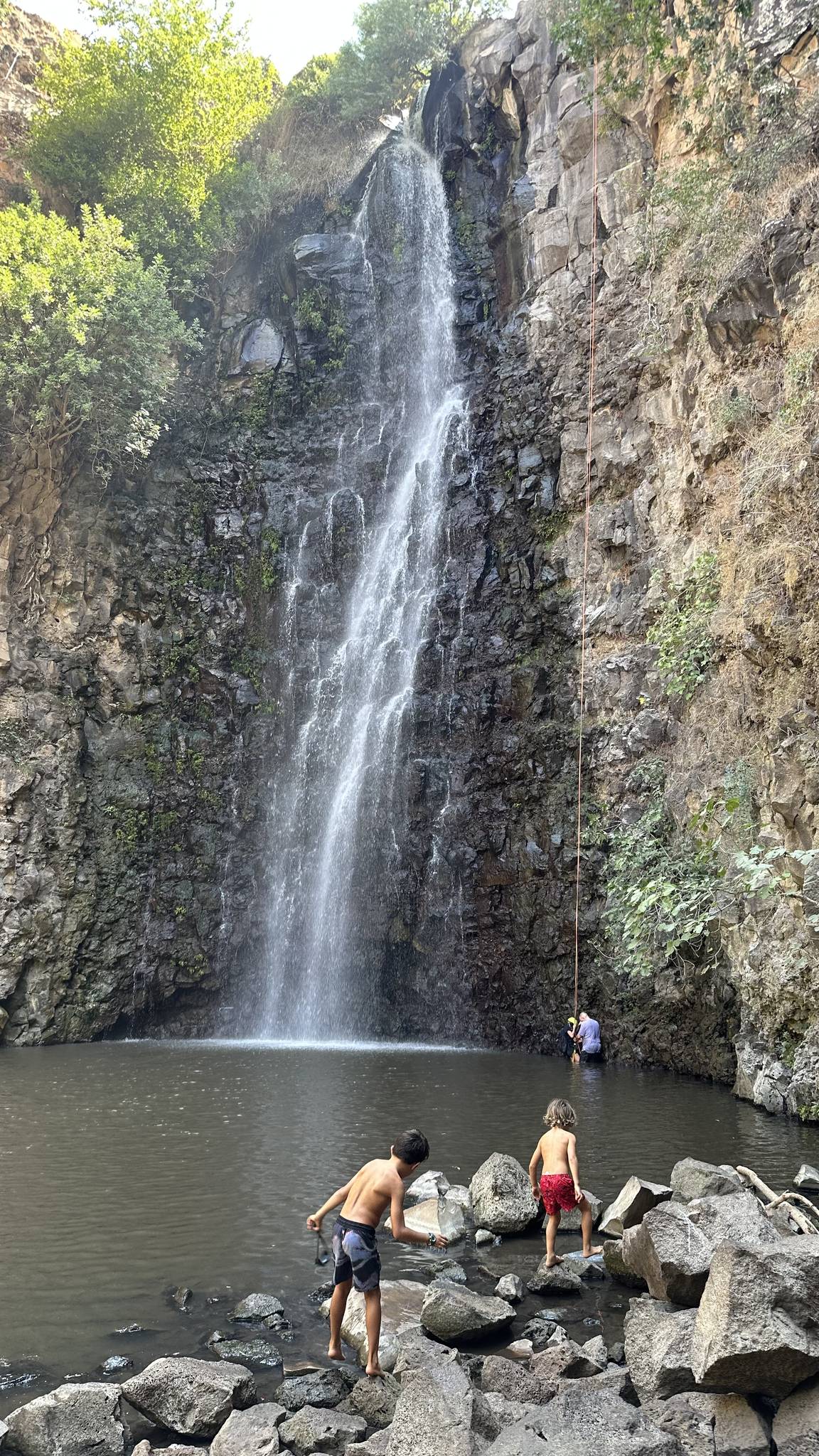

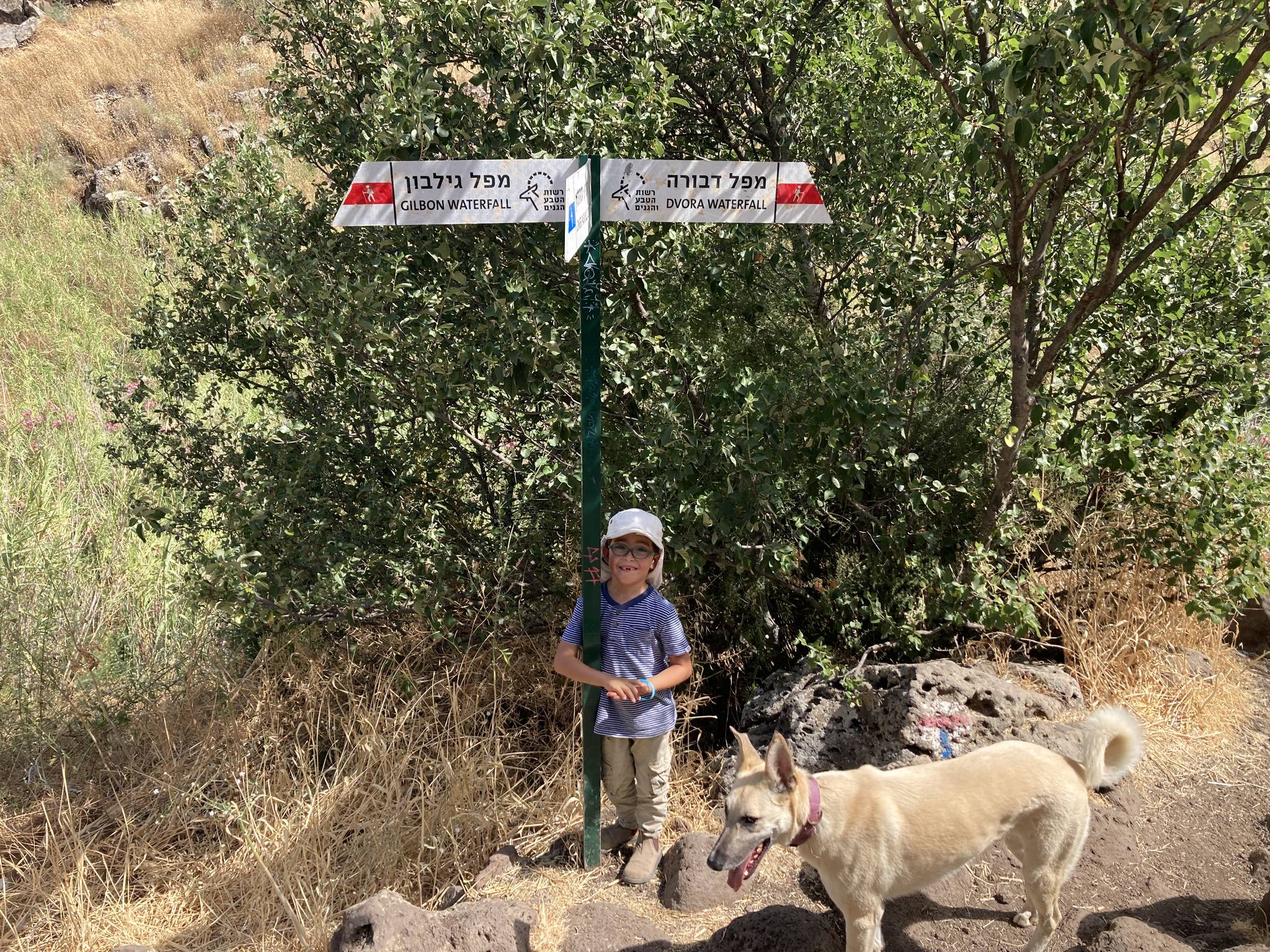
Data sources
The information on this page was collected from these sources.
- bashetach.co.ilbashetach.co.il, License: all rights reserved (blog content)
- sharloetgarim.co.il
- ropes.community
- ropes.community
- radius.co.il
- parks.org.ilרשות הטבע והגנים (Israel Nature and Parks Authority), License: Israeli government (INPA) public information, facts only
- wikidata.orgLicense: CC BY-SA 4.0 (text), CC0 (Wikidata)
- openstreetmap.org© OpenStreetMap contributors, License: ODbL 1.0
- canaan-canyoning.xyzcanaan-canyoning.xyz
- rybakian.comIan Rybak, rybakian.com. dateConfidence: low (bulk resave stamp 2019-11-20; real information date unknown, not later than that), License: unknown; personal site, no licence stated
Comments on this site
General comments on the whole site. About one part? Use "Comments" next to its heading.
No comments here yet.