
Flash flood danger
Do not enter the canyon when rain is forecast in the area or upstream, even under clear skies. Check the forecast on the morning of the trip.
A pale desert canyon near Neve Zohar, a fairly short circular route with a long opening drop and short bolted drops, suitable for families too.
- Good for beginners
- Dead Sea
- Desert
- Moderate
- moonlight
- Night activity
- Scenic
Information as of 19 Oct 2026
At a glance
- Duration
- 5 h
- Trail length
- 3 km
- Tallest waterfall
- 45 m
- Number of waterfalls
- 4
- Rope needed
- 100 m
- Shuttle
- Not needed
- Water
- Dry
- To the first waterfall:
- 1.1 km
- Circular route:
- Yes
- Flash flood risk:
- High
- Permit required:
- No
- Reserve:
- No
Field reports
How much water there was and how it went, from people who were here. Every report is reviewed before it is published.
No reports from this place yet
Were you here lately? Tell us how much water there was and how it went. It helps the next group plan.
Meeting point (parking)
Route 31 east of Givat Zeron, at the dirt road
The meeting point is the parking spot. You continue on foot from here.
Coordinates: 31.15186, 35.33414
About
Nahal Halamish runs from the Arad area down to the Dead Sea, and its pale marl cliffs glow on moonlit nights. It is an easy to moderate and fairly short route that suits families and groups with beginners.
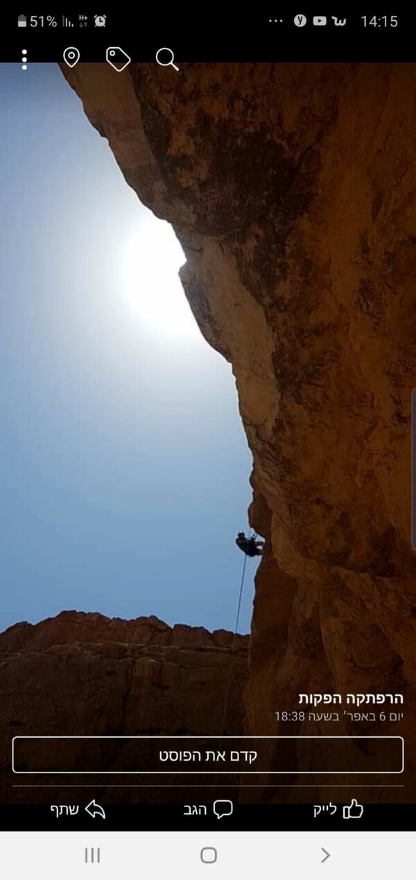
The first drop is long, mostly on a slab and overhanging at the end. Its bolts have been vandalized and must not be used; anchor on the large boulders at the top. It can be bypassed, so some people come for this drop alone. Further on, a small drop is bypassed on a goat path to the south, followed by short bolted drops, the last one stepped.
On the circular route you cross Route 31 from the large dirt parking and climb a winding cairn-marked path to an acacia tree in the bed; from there it is a short way to the top of the first drop. At the end continue down the bed to the road and walk up beside it back to the parking. A car shuttle via the red jeep track is also possible, and a high-clearance car can drive to the first drop.
Getting there
ישנם 3 אופציות לטייל ולגלוש סנפלינג בנחל חלמיש. אפשרות א' היא לעשות מסלול מעגלי, שכולל עלייה רגלית בהתחלת המסלול מהרכבים אל תחילת המפלים. אפשרות ב' היא מסלול עם הקפצת רכבים, שחוסך את העלייה לתחילת המסלול, צריך 2 רכבים, בעיני האפשרות הזו פחות מומלצת בגלל הסירבול של הרכבים והעליה באפשרות הראשונה לא כ"כ קשה. אפשרות ג' היא להגיע רק למפל הראשון (ולא לכל המסלול) ע"י רכב 4X4 או רכב גבוה מספיק, שם גם ניתן לעשות קמפינג.
Access notes
Three options. Circular: park at the large dirt lot on Route 31 heading east, cross the highway with care and climb the cairn-marked path to the acacia tree in the bed, then walk a short way down the bed to the top of the first drop. Car shuttle: leave a second car at the start of the red jeep track and walk it to the turn east onto an unmarked track leading to the first drop. A 4x4 or high-clearance car can drive the same way to the first drop. In every case the exit follows the bed to Route 31, then up the roadside to the parking.
Parking
A large dirt parking area beside Route 31, east of Neve Zohar toward Arad, is the start of the circular route and the end of the car shuttle. A second car parks at the start of the red jeep track.
Difficulty and suitability
- Difficulty
- Moderate
- Good for beginners
- Yes
- Minimum age
- From age 10
- Recommended group size
- Up to 15 people
- Typical duration
- 5 h
- Hiking distance
- 4.5 km
- Elevation gain
- 250 m
- Water activity
- No
- Route type
- Dry
Descent profile
Scroll sideways for details
Waterfalls(4)
| # | Name | Height | Obstacle | Profile | Landing | Anchor | Bolts and stations | Rope | From previous | Details |
|---|---|---|---|---|---|---|---|---|---|---|
| 1 | – | Height: 2 m | Downclimb | – | – | – | – | – | – | |
| ||||||||||
| 2 | אBypass on the right | Height: 45 mOther source: 40 m (sharloetgarim.co.il, 2026)Other source: 40 m (sharloetgarim.co.il, 2026)Other source: 40 m (canaan-canyoning.xyz, 2023)Other source: 35 m (rybakian.com, 2019)Other source: 45 m (bashetach.co.il, 2026) | Waterfall / rappel | – | – | – | – | 100 m | – | |
| ||||||||||
| 3 | – | Height: 6 m | Waterfall / rappel | Stepped | – | – | – | – | 300 m | |
| ||||||||||
| 4 | בBypass on the left | Height: 11 mOther source: 10 m (canaan-canyoning.xyz, 2023)Other source: 15 m (rybakian.com, 2019)Other source: 15 m (bashetach.co.il, 2026) | Waterfall / rappel | Slab | – | Bolts | – | 40 m | – | |
| ||||||||||
| 5 | ג | Height: 16 mOther source: 15 m (canaan-canyoning.xyz, 2023)Other source: 21 m (rybakian.com, 2019)Other source: 15 m (bashetach.co.il, 2026) | Waterfall / rappel | Stepped | – | Bolts | – | 40 m | – | |
| ||||||||||
When to go
- JanuaryBest
- FebruaryBest
- MarchBest
- AprilBest
- MayBest
- JuneBest
- JulyBest
- AugustBest
- SeptemberBest
- OctoberBest
- NovemberBest
- DecemberBest
- Best
Seasons
Points on the map
- ParkingPrimary
31.15186, 35.33414
- Trailheadאפשרות ב' - כניסה לשביל גיפים אדום: (תחילת מסלול הקפצת רכבים והגעה למפל הראשון עם רכב 4X4)
31.16267, 35.32411
- Meeting pointחניון נחל חלמיש, כ-6 ק"מ מזרחית לצומת נווה זוהר לכיוון ערד
31.16500, 35.37500
- Waterfallמפל חלמיש
31.14962, 35.32834
- Route startהתחלה להגעה ישירה למפל השני
31.16267, 35.32415
- Exitסיום וחניה
31.14567, 35.33819
Safety
Do not anchor on the bolts of the first drop: they have been vandalized. Anchor on the large boulders and check the station. There can be loose rock at the top of the first drop. Crossing Route 31 at the start of the circular route means crossing a highway. High flash flood risk: do not enter if rain is possible, nor on very hot days. After rain there is sometimes a shallow pool at the foot of the second drop.
Weather constraints
פעילות כל השנה. בקיץ טמפרטורות קיצוניות - מומלץ סנפלינג לילי באור ירח. בחורף מזג אוויר נוח יותר. אסור לצאת בהתראות שיטפון.
Recommendations
Suits families with children, beginners and groups. It can be done all year, but in summer only in the cool hours, and on moonlit nights the pale cliffs make for a special experience. You can camp by the acacia tree at the top of the first drop. Nearby are Metzad Zohar and the Zaron viewpoint over the Dead Sea.
Equipment
Two ropes long enough for the first drop, slings for the boulder anchors, a helmet and harness for each participant, and a headlamp for a night rappel. Plenty of water, even in winter.
Photos

נוף קניון מדברי במדבר יהודה Photo: Mboesch, CC BY-SA 4.0
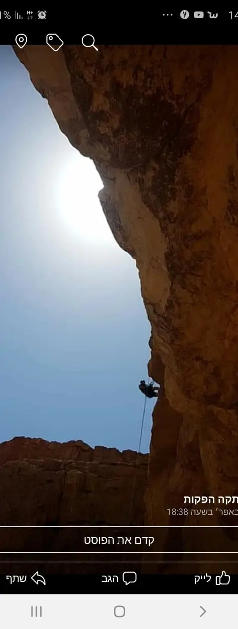
Photo: Community Ropes

Data sources
The information on this page was collected from these sources.
- bashetach.co.ilbashetach.co.il, License: all rights reserved (blog content)
- sharloetgarim.co.il
- sharloetgarim.co.il
- ropes.community
- ropes.community
- radius.co.il
- openstreetmap.org© OpenStreetMap contributors, License: ODbL 1.0
- canaan-canyoning.xyzcanaan-canyoning.xyz
- rybakian.comIan Rybak, rybakian.com. dateConfidence: low (bulk resave stamp 2019-11-20; real information date unknown, not later than that), License: unknown; personal site, no licence stated
- Facts consulted in a Judean Desert guidebook
External links
Comments on this site
General comments on the whole site. About one part? Use "Comments" next to its heading.
No comments here yet.