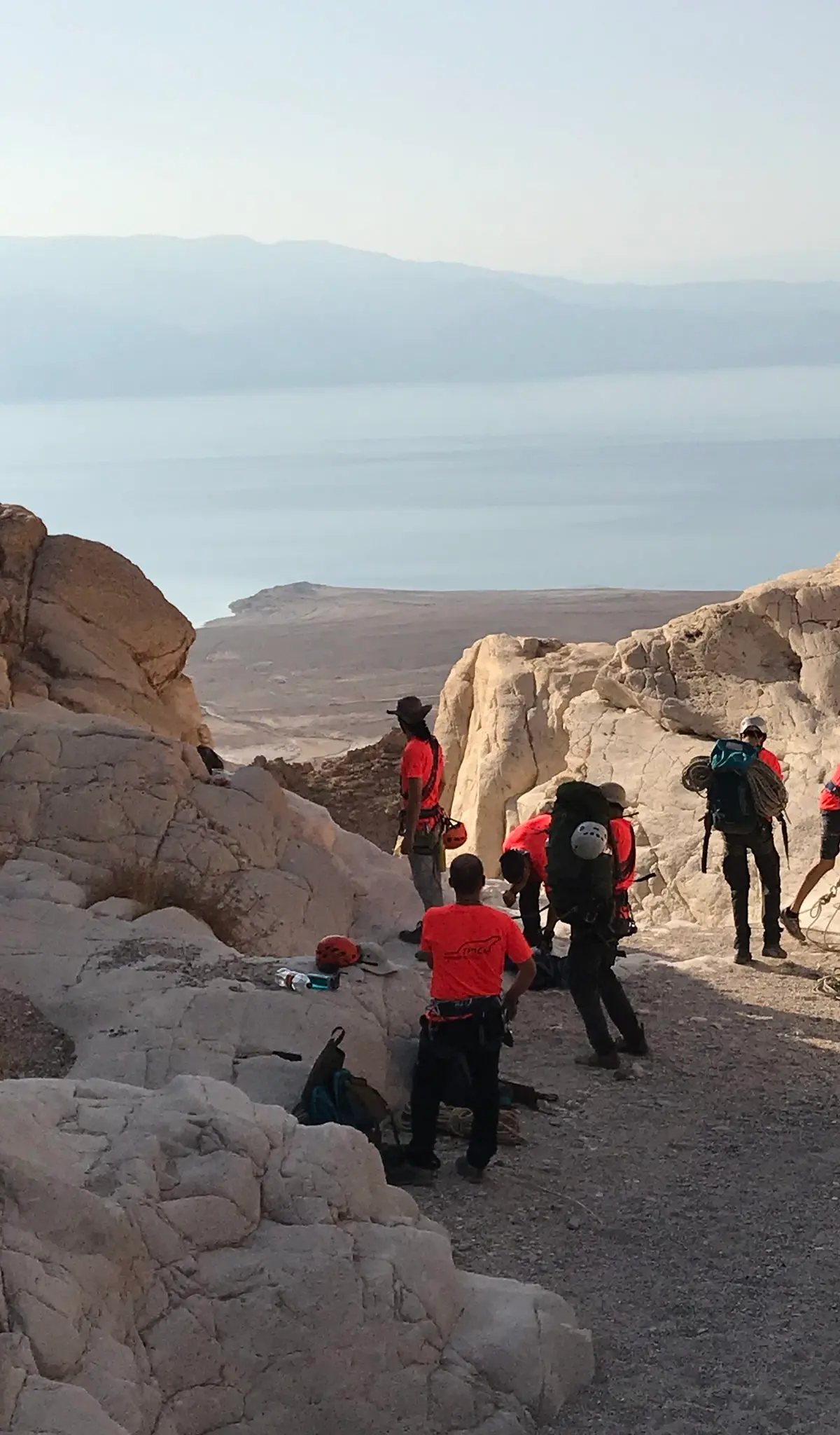
Flash flood danger
Do not enter the canyon when rain is forecast in the area or upstream, even under clear skies. Check the forecast on the morning of the trip.
Inside a nature reserve
Keep to the reserve rules and stay on the marked trails.
Lower Nahal Tur, an easy circular route from Route 90 with bolted drops that grow longer, for families and beginners.
Also known as: Tur stream
- Good for beginners
- Loop route
- Dead Sea
- Desert
- Families
Information as of 12 Oct 2026
At a glance
- Duration
- 3 h
- Trail length
- 3 km
- Tallest waterfall
- 26 m
- Number of waterfalls
- 3
- Rope needed
- 70 m
- Water
- Dry
- Circular route:
- Yes
- Flash flood risk:
- High
- Reserve:
- Yes
Field reports
How much water there was and how it went, from people who were here. Every report is reviewed before it is published.
No reports from this place yet
Were you here lately? Tell us how much water there was and how it went. It helps the next group plan.
Meeting point (parking)
Nahal Tur at Route 90
The meeting point is the parking spot. You continue on foot from here.
Coordinates: 31.59828, 35.40325
About
The lower section of Nahal Tur is a fairly short circular route that starts and ends at the stream mouth on Route 90, so one car is enough. It is one of the easiest routes in the area for families and groups of beginners.
The drops get progressively longer, and all have Israel Nature and Parks Authority chemical bolts. Before the last drop there is a small, slippery step; go down it carefully. The route is exposed to the sun, so in the warm seasons start early.
Getting there
נפגשים בצפון ים המלח, בחניה מסודרת לצד הכביש.
Access notes
Set Waze to 'מצוקי דרגות' and stop at the parking at the stream mouth on Route 90, before the climb. Set off from there on the black trail; the parking is visible from the road, but the trail marking is a little hard to find. The route is circular and returns to the same spot.
Parking
A small parking area at the mouth of Nahal Tur on Route 90, north of the Metzukei Dragot checkpoint. It is the start and end point.
Difficulty and suitability
- Difficulty
- Easy
- Good for beginners
- Yes
- Minimum age
- From age 10
- Recommended group size
- Up to 15 people
- Typical duration
- 3 h
- Hiking distance
- 3 km
- Elevation gain
- 120 m
- Water activity
- No
- Route type
- Dry
Descent profile
Scroll sideways for details
Waterfalls(3)
| # | Name | Height | Obstacle | Profile | Landing | Anchor | Bolts and stations | Rope | From previous | Details |
|---|---|---|---|---|---|---|---|---|---|---|
| 1 | ד | Height: 11 mOther source: 10 m (sharloetgarim.co.il, 2026)Other source: 6 m (canaan-canyoning.xyz, 2023)Other source: 16 m (rybakian.com, 2019)Other source: 15 m (bashetach.co.il, 2026) | Waterfall / rappel | – | – | Chemical bolts | 2 bolts | 40 m | – | |
| ||||||||||
| 2 | ה | Height: 15 mOther source: 12 m (sharloetgarim.co.il, 2026)Other source: 13 m (canaan-canyoning.xyz, 2023)Other source: 14 m (rybakian.com, 2019)Other source: 25 m (bashetach.co.il, 2026) | Waterfall / rappel | – | – | Chemical bolts | 2 bolts | 60 m | – | |
| ||||||||||
| 3 | ו | Height: 26 mOther source: 25 m (sharloetgarim.co.il, 2026)Other source: 22 m (canaan-canyoning.xyz, 2023)Other source: 19 m (rybakian.com, 2019)Other source: 30 m (bashetach.co.il, 2026) | Waterfall / rappel | – | – | Chemical bolts | 4 bolts | 70 m | – | |
| ||||||||||
| 4 | – | Height: 4 m | Downclimb | Vertical | – | – | – | – | – | |
| ||||||||||
When to go
- JanuaryPossible
- FebruaryPossible
- MarchPossible
- AprilPossible
- MayPossible
- June
- July
- August
- September
- OctoberPossible
- NovemberPossible
- DecemberPossible
- Possible
Seasons
Points on the map
- ParkingPrimary
31.59828, 35.40325
- Waterfallמפל טור
31.59854, 35.39610
- Route endNahal Tur at Route 90
31.59939, 35.40377
Safety
Before the last drop there is a small, slippery step: go down carefully and protect children. There is little shade along most of the route. In winter check for flood warnings, in summer for heat stress.
Weather constraints
מומלץ בסתיו, חורף ואביב. בקיץ חום קיצוני - לצאת רק בשעות הבוקר המוקדמות. אסור לצאת בהתראות שיטפון.
Recommendations
Suits families, children and beginners. The season runs from autumn to spring, and operators run it often during the holidays. Bring plenty of water.
Equipment
Ropes long enough for the section's longest drop, and a harness and helmet for each participant.
Other sections in the area
Photos

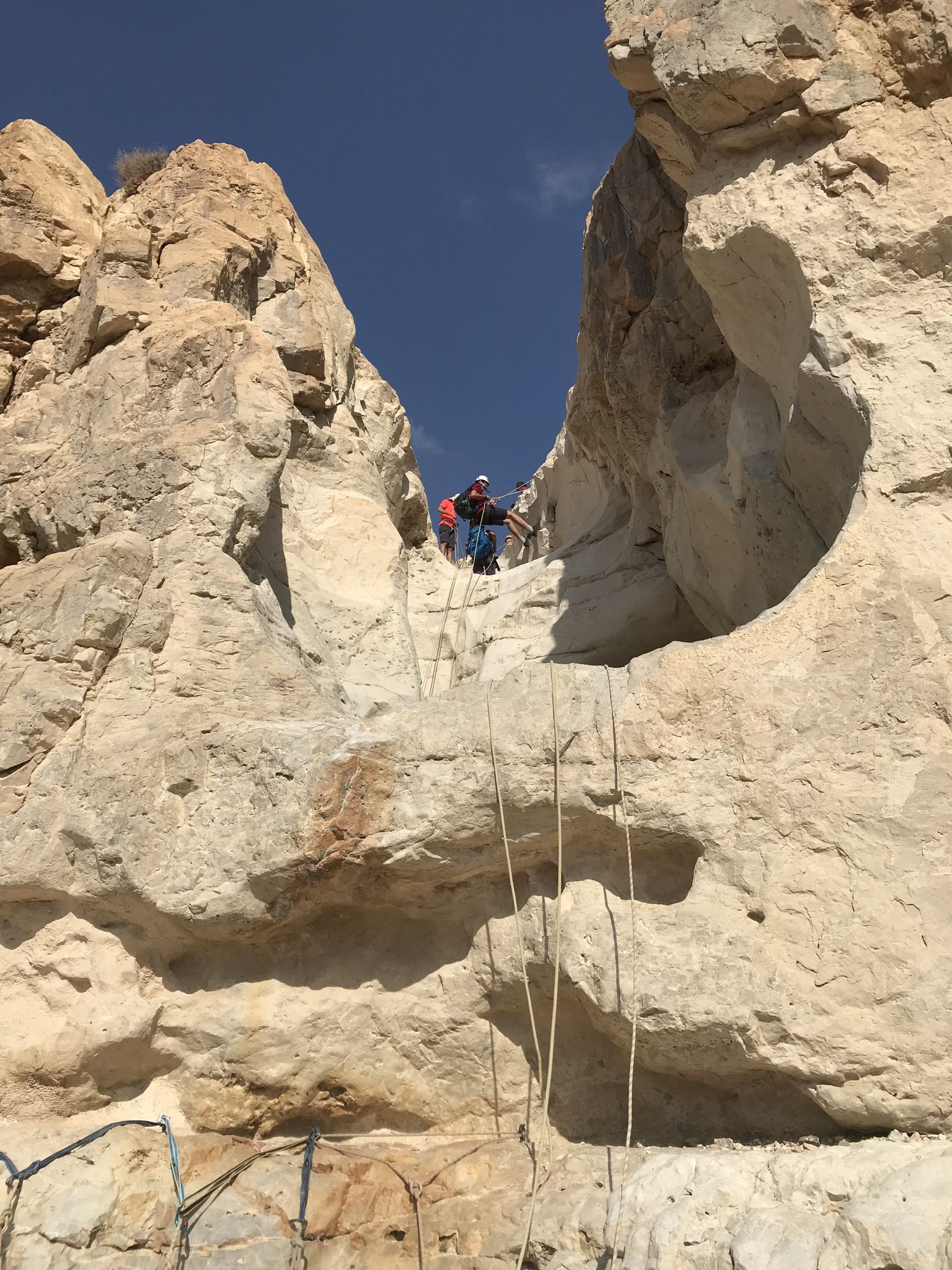
קניון מדברי במדבר יהודה ליד ים המלח Photo: Mboesch, CC BY-SA 4.0
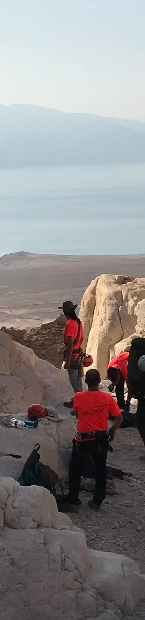
נחל טור תחתון, יולי 2019 Photo: נדב כהן
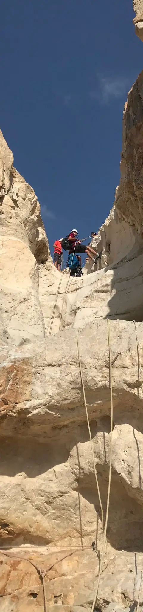
נחל טור תחתון, יולי 2019 Photo: נדב כהן

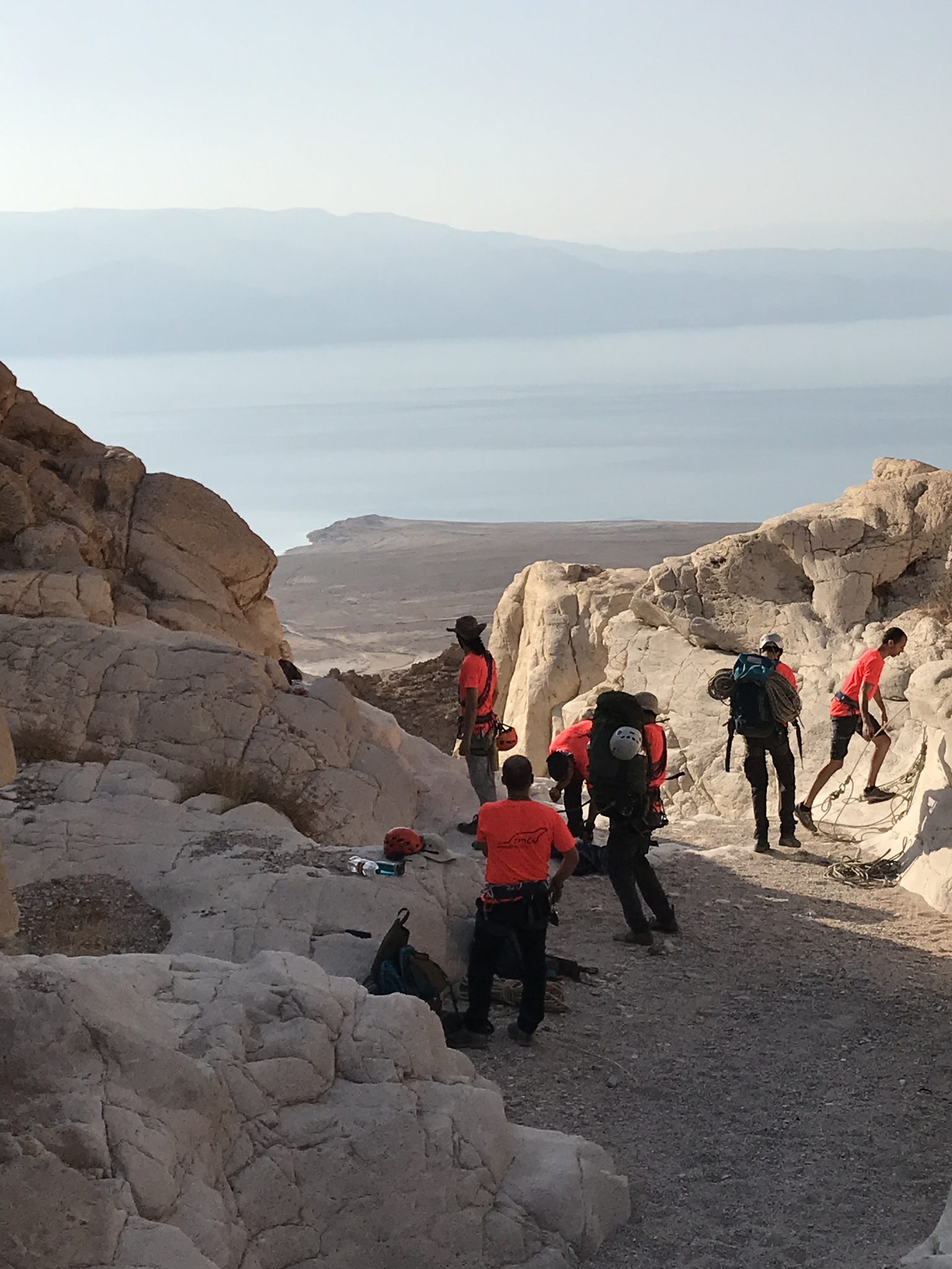
Data sources
The information on this page was collected from these sources.
- bashetach.co.ilbashetach.co.il, License: all rights reserved (blog content)
- sharloetgarim.co.il
- ropes.community
- radius.co.il
- openstreetmap.org© OpenStreetMap contributors, License: ODbL 1.0
- ashdotextreme.co.ilashdotextreme.co.il
- canaan-canyoning.xyzcanaan-canyoning.xyz
- rybakian.comIan Rybak, rybakian.com. dateConfidence: low (bulk resave stamp 2019-11-20; real information date unknown, not later than that), License: unknown; personal site, no licence stated
- Facts consulted in a Judean Desert guidebook (title pending)
Comments on this site
General comments on the whole site. About one part? Use "Comments" next to its heading.
No comments here yet.