
Metzuk Shilat in Ben Shemen Forest near Modi'in, a shaded wall in a pine grove with short access, for families and beginners.
Also known as: Shilat cliff, שילת, טיפוס + סנפלינג במצוק שילת, טיפוס מצוק בשילת, למתחילים, למתחילים
- Good for beginners
- Easy access
- Families
- Forest
- picnic
Information as of 12 Oct 2026
At a glance
- Duration
- 2.5 h
- Trail length
- 200 m
- Tallest rappel
- 35 m
- Number of rappel routes
- 1
- Rope needed
- 80 m
- Water
- Dry
Field reports
How much water there was and how it went, from people who were here. Every report is reviewed before it is published.
No reports from this place yet
Were you here lately? Tell us how much water there was and how it went. It helps the next group plan.
Meeting point (parking)
חניון מצוק שילת, ליד צומת שילת. גישה בדרך עפר קצרה מהכביש הראשי.
The meeting point is the parking spot. You continue on foot from here.
Coordinates: 31.92325, 35.01167
About
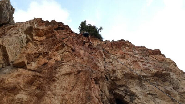
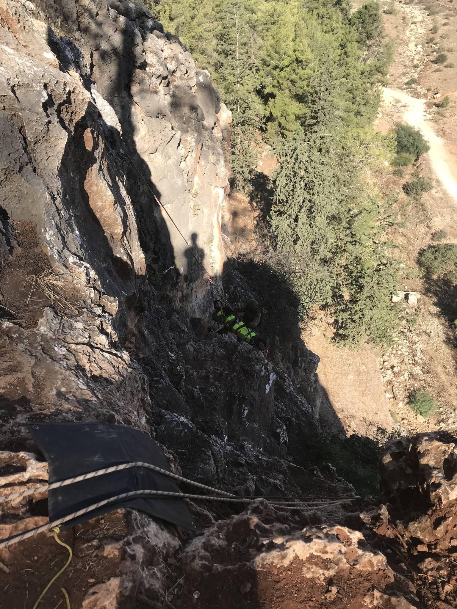
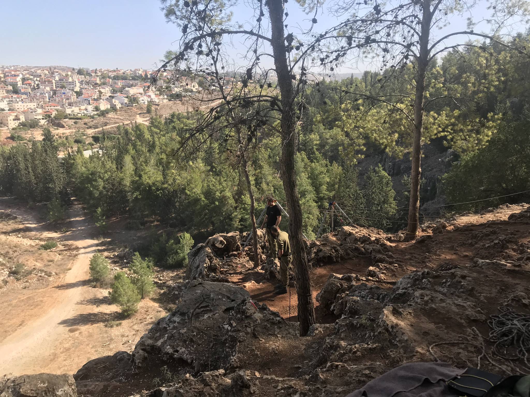
Metzuk Shilat sits in a pine grove in Ben Shemen Forest, above Nahal Modi'in. Thanks to the forest it is almost always shaded and breezy, and it is one of the most convenient rappelling and climbing sites in central Israel.
The rappel starts from the top of the cliff, on natural anchors around rocks and trees; some trees are diseased and unstable, so choose anchors carefully. Beginner climbers will prefer the western side of the wall.
From the parking it is a short walk north to the cliff edge. The way back up after the rappel, or down to the base for climbing, is on the west side and very easy.
Getting there
בשביל להגיע למצוק שילת מכוונים בוויז לכיוון 'קברות המכבים'. לאחד הפנייה ימינה מהכביש הראשי (443) פונים שוב ימינה ונוסעים לכיון מושב שילת כאשר רואים שלט אזהרה 'זהירות שער' פונים בשביל עפר שמאלה. עוברים מעבר בקר- השביל עביר לכל רכב (צריך לשים לב על בחירת הנתיב) נוסעים ישר עד שמגיעים לחניית עפר.
Access notes
Set Waze to 'קברות המכבים' (Maccabees' Tombs). From Route 443 turn right, then right again toward Moshav Shilat. At the 'caution, gate' sign turn left onto a dirt track, cross a cattle grid and continue to the dirt parking. The track is passable for any car, but pick your line with care. From the parking walk north to the cliff edge.
Parking
A free dirt parking area near the top of the cliff, a few minutes' walk away.
Difficulty and suitability
- Difficulty
- Easy
- Good for beginners
- Yes
- Minimum age
- From age 5
- Recommended group size
- Up to 30 people
- Typical duration
- 2.5 h
- Hiking distance
- 200 m
- Elevation gain
- 30 m
- Water activity
- No
Descent profile
Scroll sideways for details
Rappel routes(1)
| # | Name | Height | Obstacle | Profile | Landing | Anchor | Bolts and stations | Rope | From previous | Details |
|---|---|---|---|---|---|---|---|---|---|---|
| 1 | Updated 5 Oct 2023 | Height: 35 m | Waterfall / rappel | – | – | Natural anchor | – | 80 m | – | |
| ||||||||||
When to go
- JanuaryPossible
- FebruaryPossible
- MarchPossible
- AprilPossible
- MayPossible
- JunePossible
- JulyPossible
- AugustPossible
- SeptemberPossible
- OctoberPossible
- NovemberPossible
- DecemberPossible
- Possible
Shade: המצוק מתאים לגלישה וטיפוס ומוצל לגולשים כל היום. לגבי צל למטפסים- תגיעו באזור הצהריים, כי זה תלוי מאיזה זוית מגיעה השמש. המצוק בלב חורשת אורנים של יער בן שמן ככה שכמעט תמיד יש בו צל ומשב רוח נעים.
Seasons
Points on the map
- ParkingPrimary
31.92325, 35.01167
- Siteמיקום מצוק שילת במפה
31.92487, 35.01223
- Meeting pointחניון מצוק שילת, ליד צומת שילת. גישה בדרך עפר קצרה מהכביש הראשי.
31.92500, 35.01210
- Siteמצוק שילת
31.92446, 35.01167
- Siteמצוק שילת
31.92452, 35.01206
Safety
Some of the trees used as anchors are diseased and unstable: check every anchor and back it up. When climbers and rappellers work at the same time, keep the lines apart. Avoid it in heavy rain.
Weather constraints
פתוח כל השנה. המצוק מוצל רוב היום. בימים חמים במיוחד מומלץ להביא מים מרובים. יש להימנע מפעילות בזמן גשם חזק.
Recommendations
Suits families, beginners and groups, all year. Rappellers have shade all day; climbers find shade around midday. Beginner climbers should head to the western side.
Equipment
For rappelling, two medium-length ropes and a pair of anchor ropes, enough for most of the cliff. For climbing, a long dynamic rope.
Photos
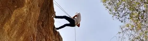
Photo: Community Ropes
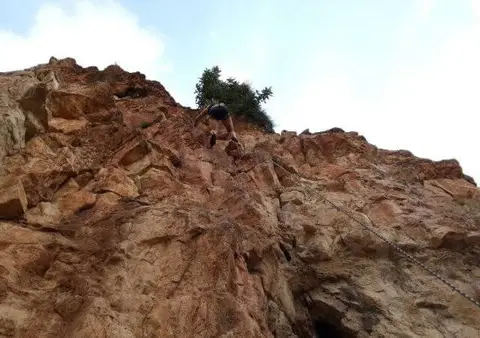
Photo: Community Ropes
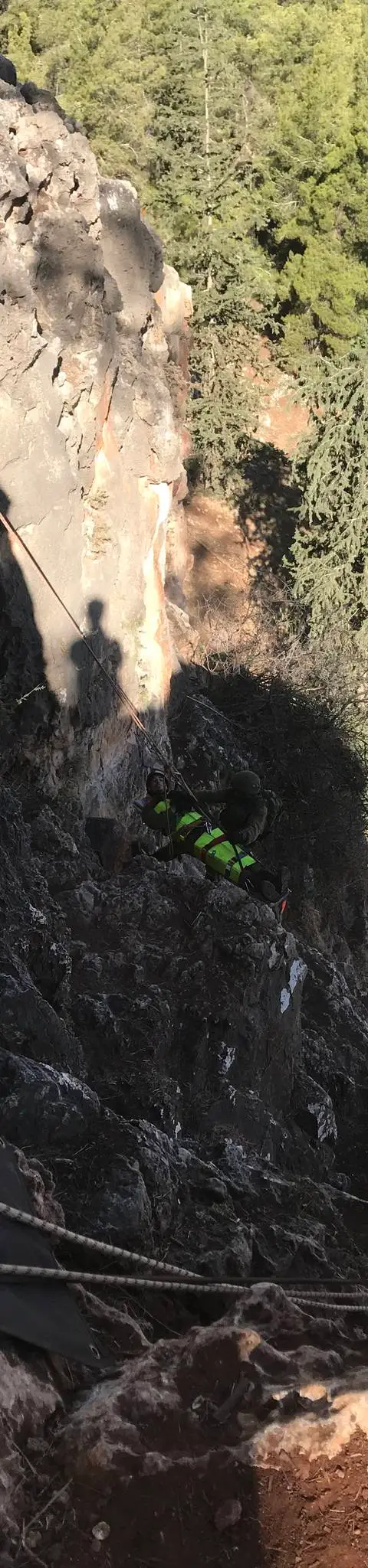
מצוק שילת, נובמבר 2018 Photo: נדב כהן
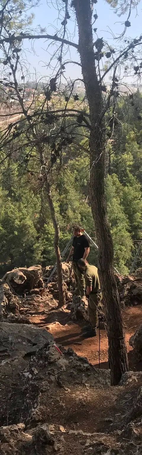
מצוק שילת, אוקטובר 2018 Photo: נדב כהן

Data sources
The information on this page was collected from these sources.
- bashetach.co.ilbashetach.co.il, License: all rights reserved (blog content)
- sharloetgarim.co.il
- sharloetgarim.co.il
- sharloetgarim.co.il
- ropes.community
- ropes.community
- ropes.community
- radius.co.il
- openstreetmap.org© OpenStreetMap contributors, License: ODbL 1.0
- wiki.imga.org.ilwiki.imga.org.il
- canaan-canyoning.xyzcanaan-canyoning.xyz
External links
Comments on this site
General comments on the whole site. About one part? Use "Comments" next to its heading.
No comments here yet.