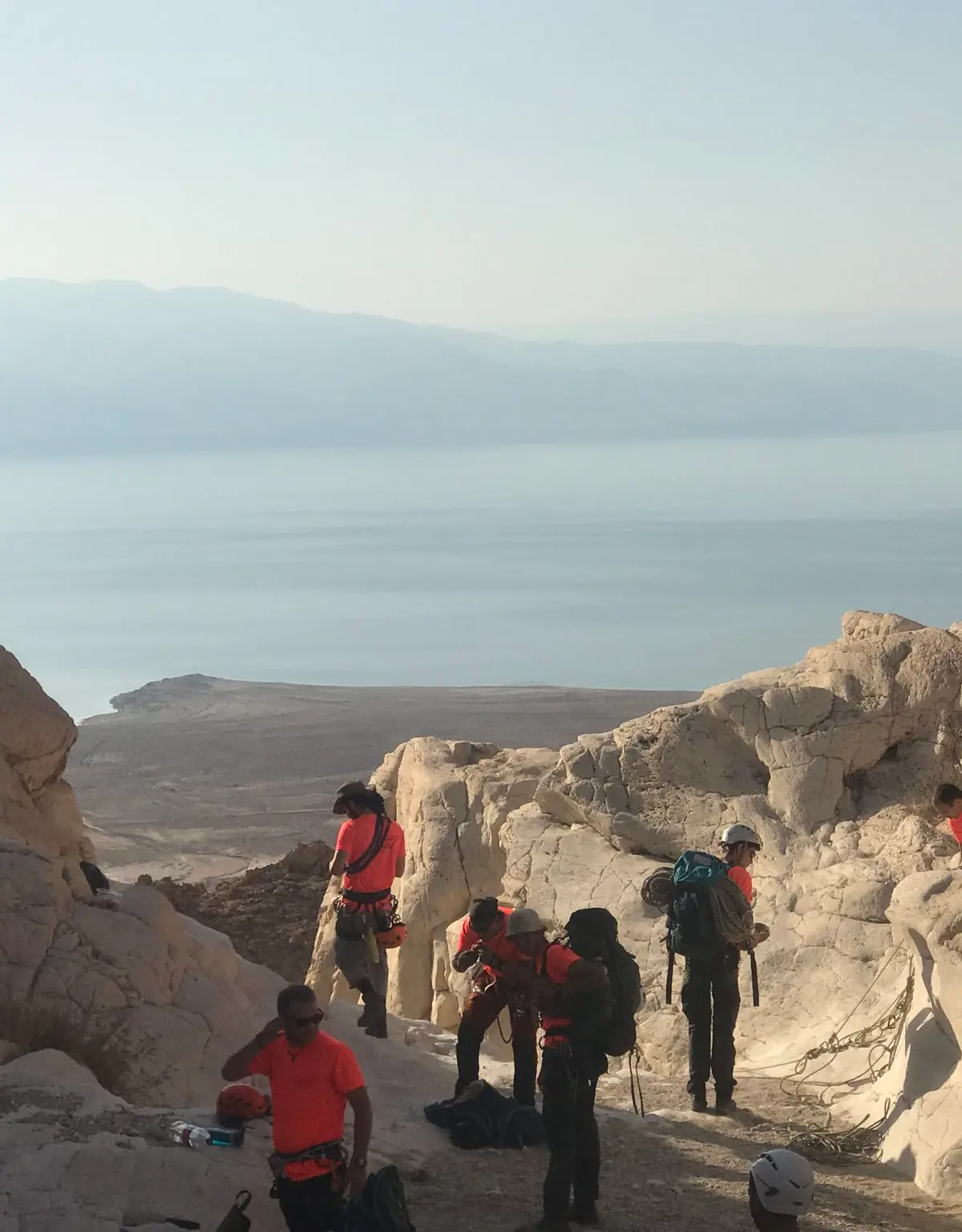
Flash flood danger
Do not enter the canyon when rain is forecast in the area or upstream, even under clear skies. Check the forecast on the morning of the trip.
Inside a nature reserve
Keep to the reserve rules and stay on the marked trails.
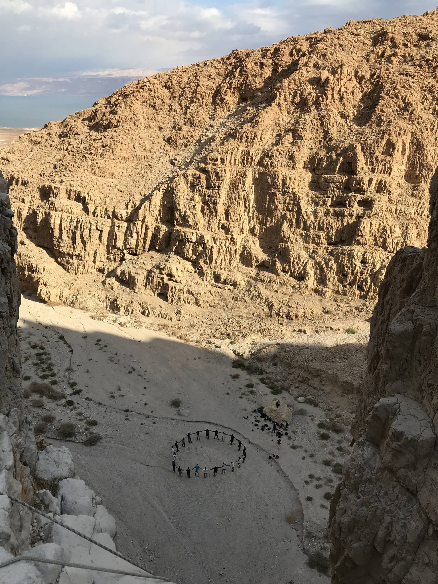
An impressive dry canyon above the Dead Sea near Mitzpe Shalem, with long, well-bolted rappels and a steep climb at the start, for experienced rappellers.
Also known as: Nahal Tamarim, Nahal Temarim
- Advanced
- Challenging
- Dead Sea
- Desert
- Full day
- Scenic
Information as of 12 Oct 2026
At a glance
- Approach
- 1.5 h
- Duration
- 7 h
- Trail length
- 5 km
- Tallest waterfall
- 75 m
- Number of waterfalls
- 5
- Rope needed
- 160 m
- Shuttle
- Not needed
- Water
- Dry
- Exit distance:
- 500 m
- Circular route:
- Yes
- Flash flood risk:
- High
- Permit required:
- No
- Reserve:
- Yes
Field reports
How much water there was and how it went, from people who were here. Every report is reviewed before it is published.
No reports from this place yet
Were you here lately? Tell us how much water there was and how it went. It helps the next group plan.
Meeting point (parking)
Parking at the date plantations entrance
The meeting point is the parking spot. You continue on foot from here.
Coordinates: 31.63875, 35.41758
About
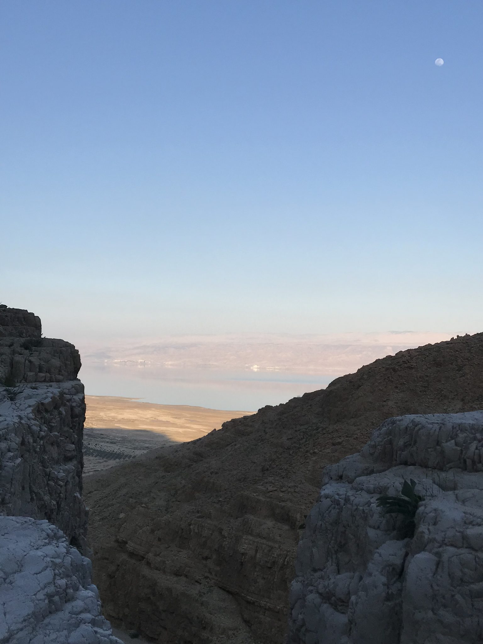
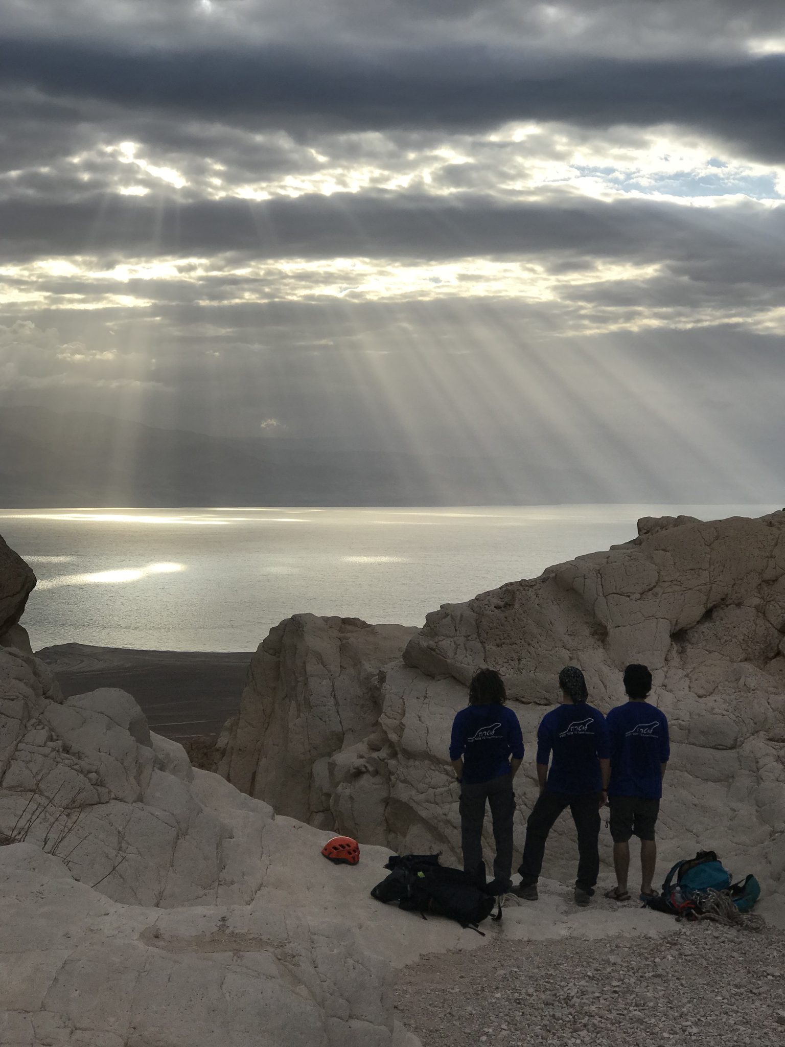
Nahal Tmarim drops to the Dead Sea near Mitzpe Shalem and is named after the date plantation at its mouth. It lies in a nature reserve where rappelling is permitted, and every drop has Israel Nature and Parks Authority chemical bolts.
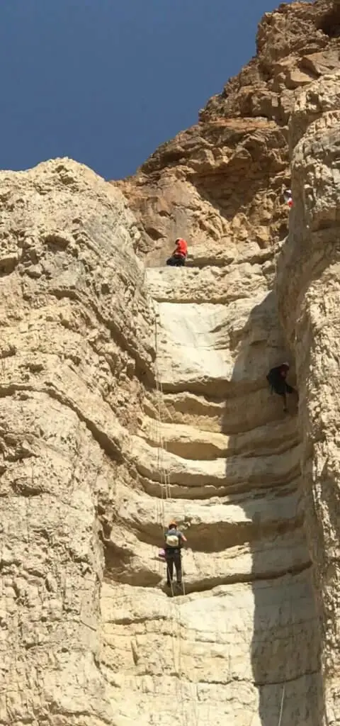
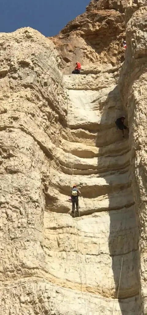
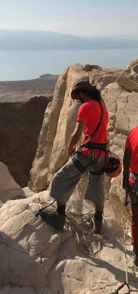
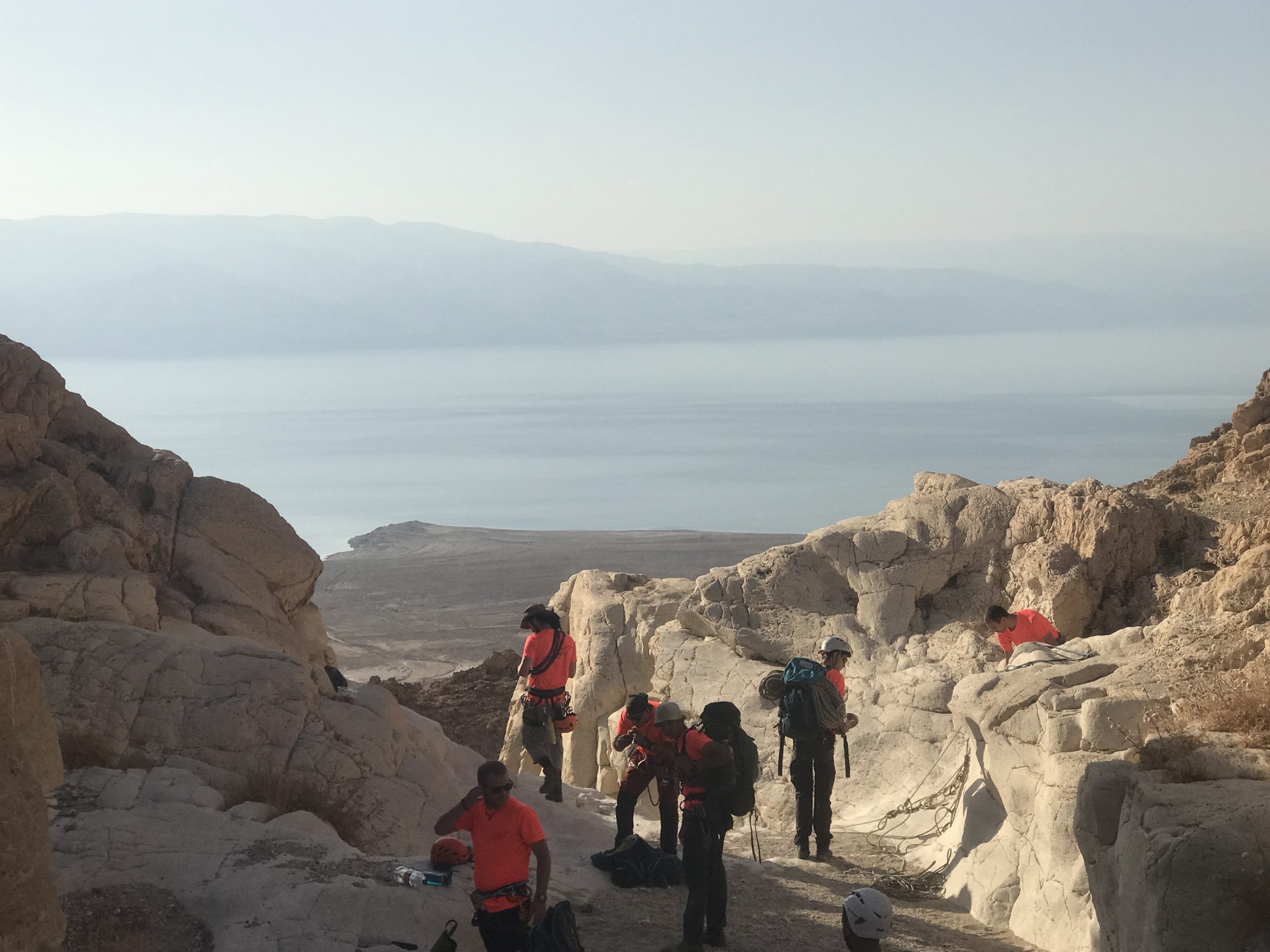
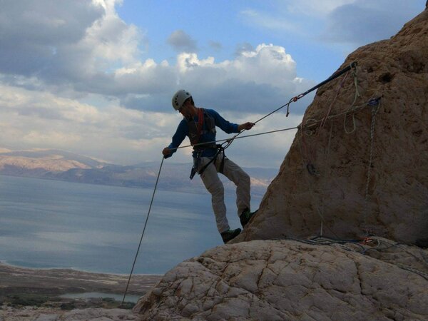
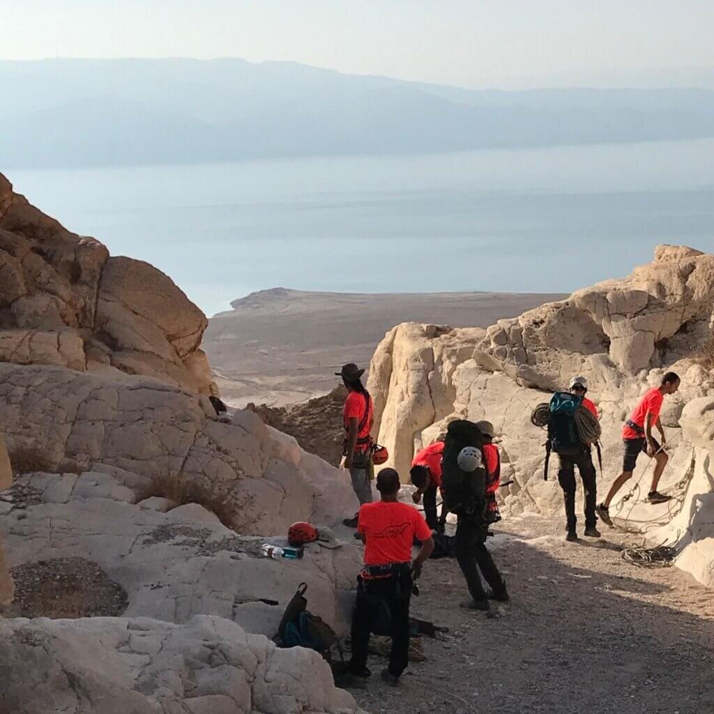
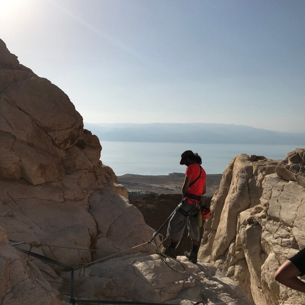
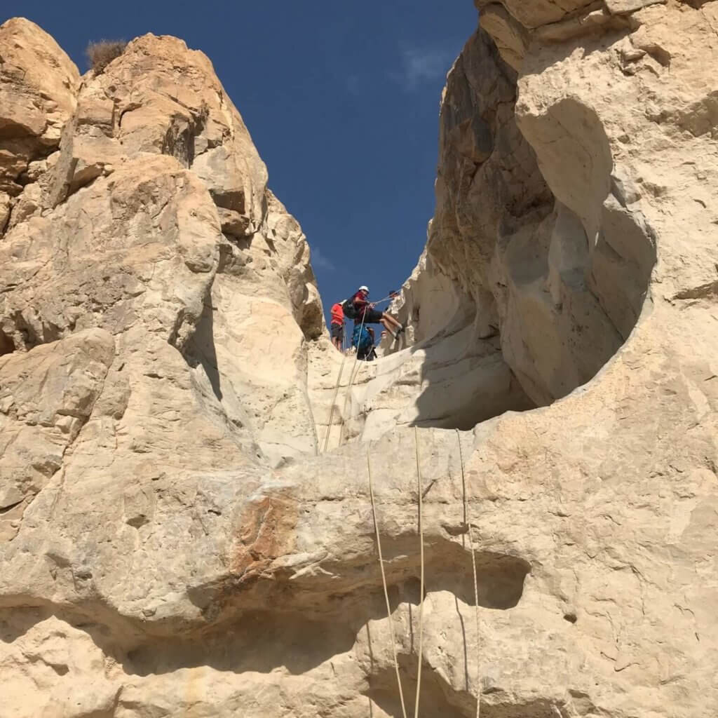
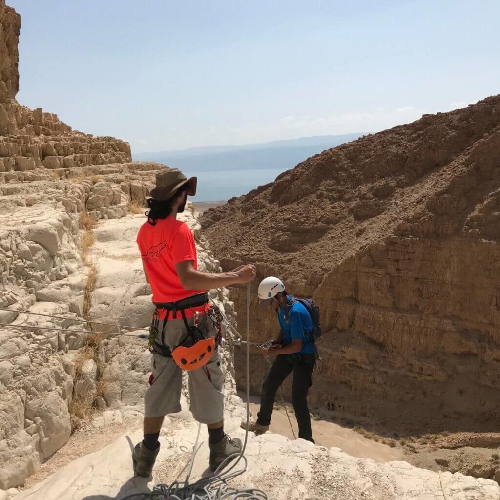
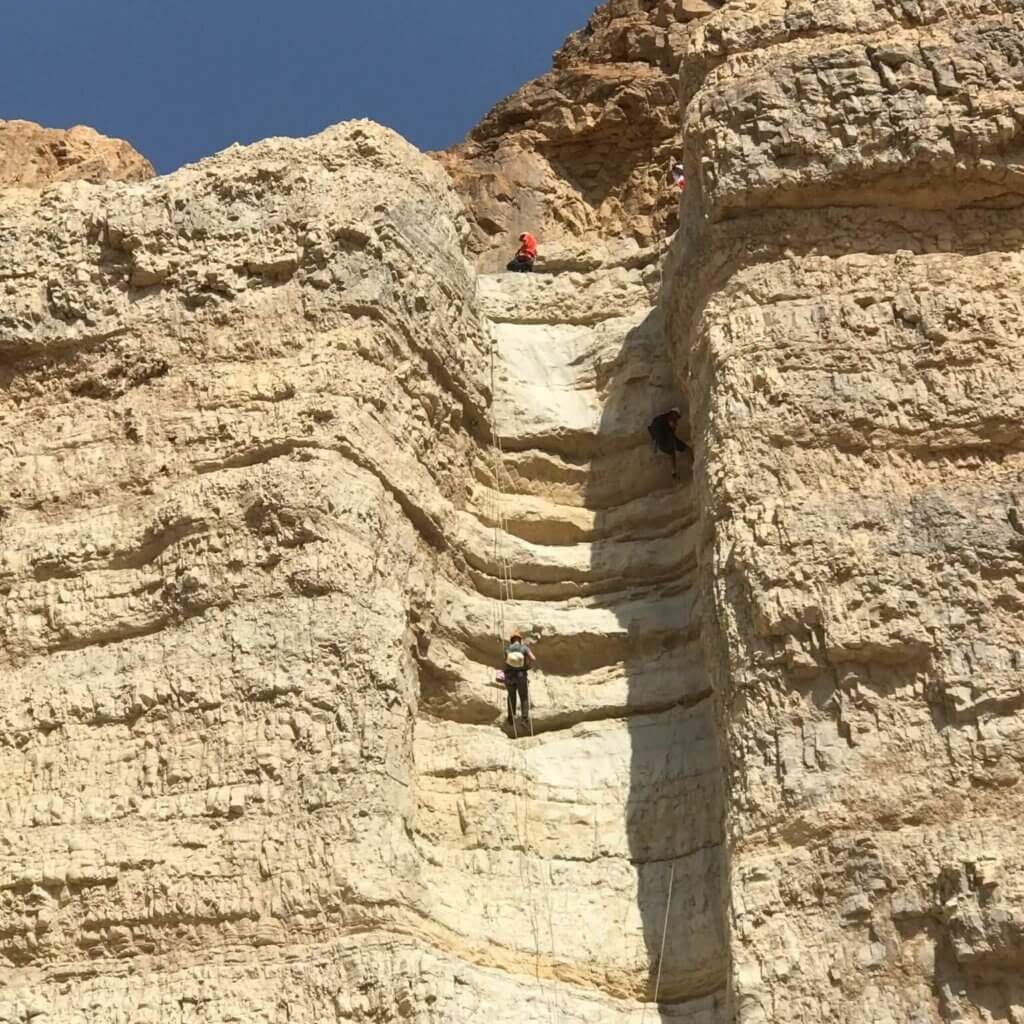
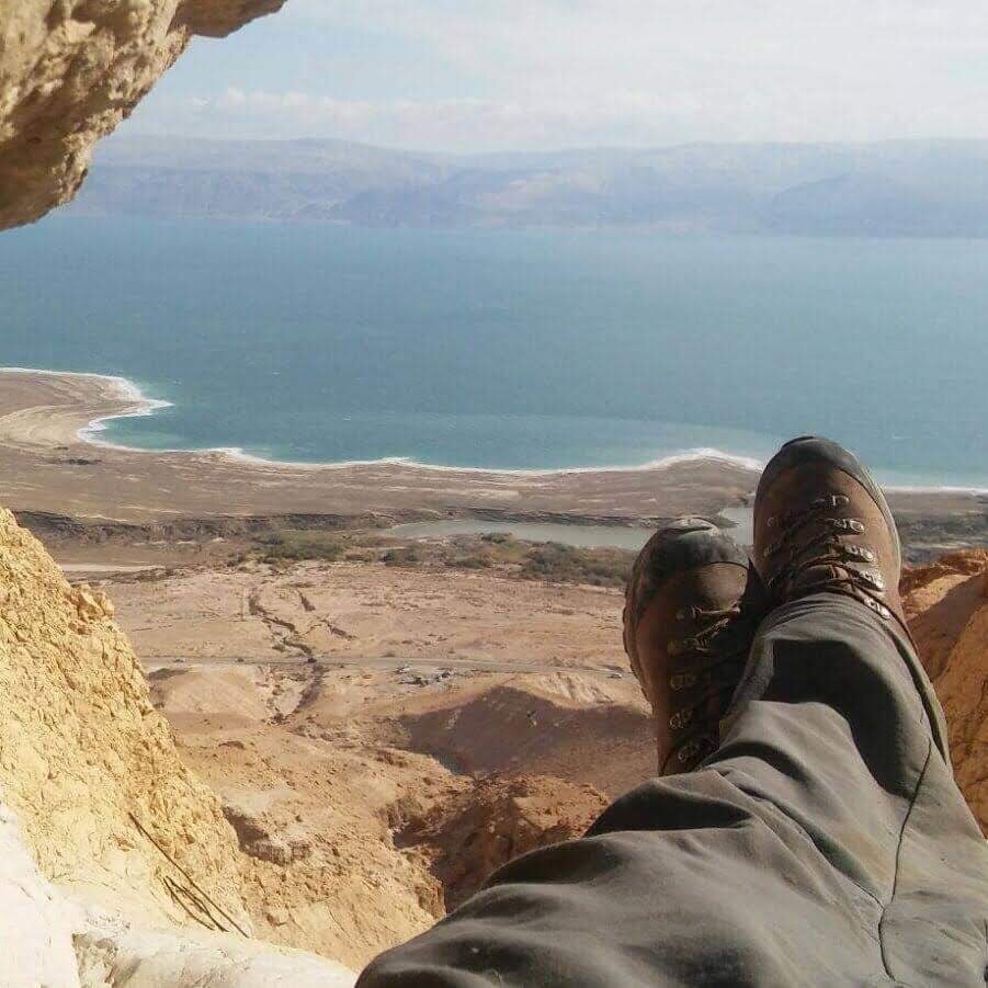
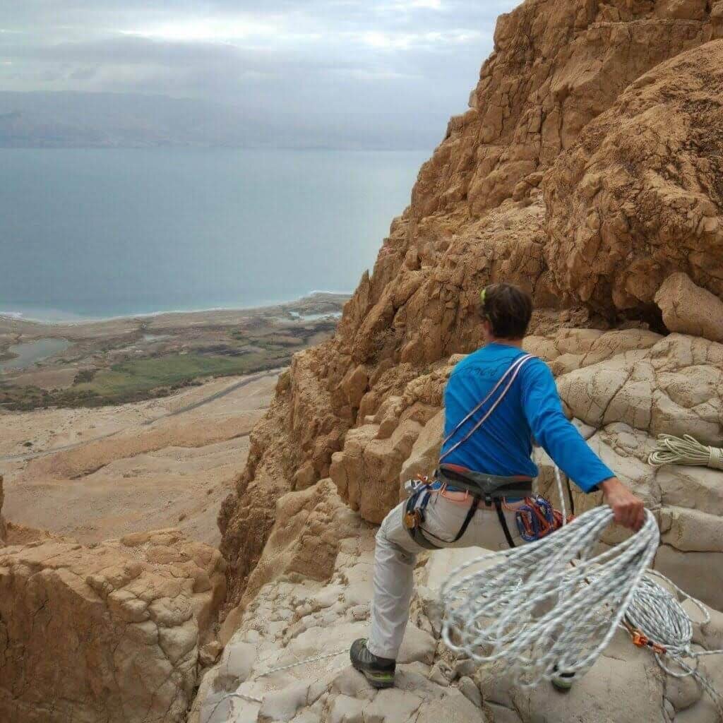
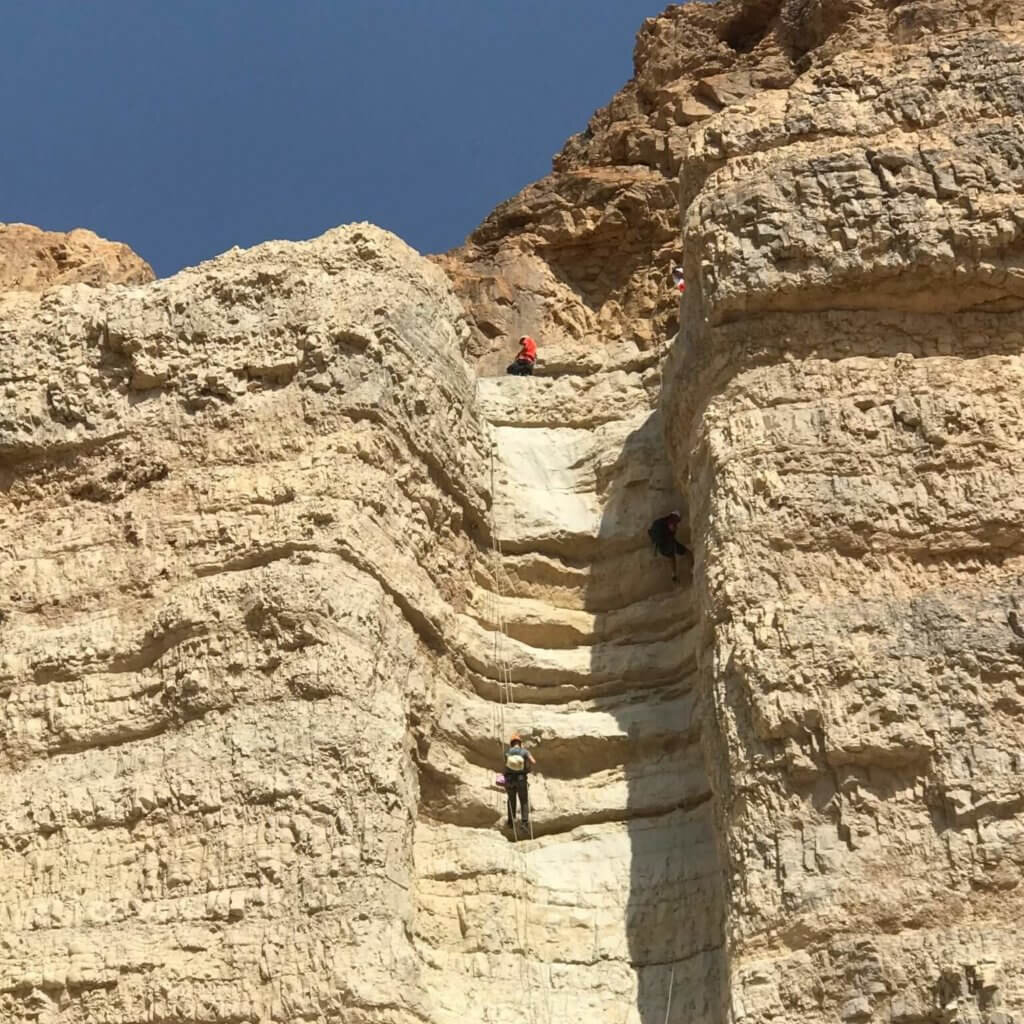
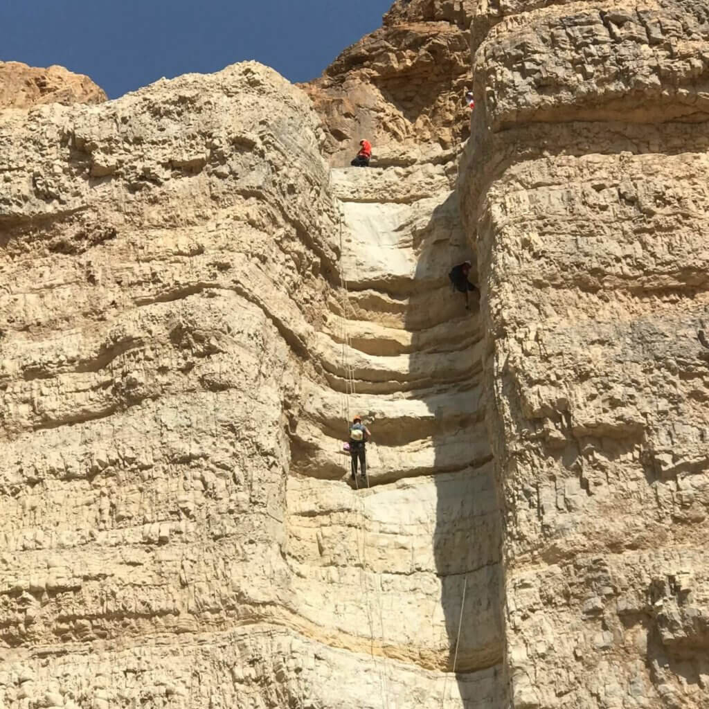
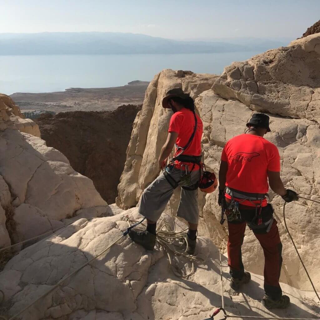
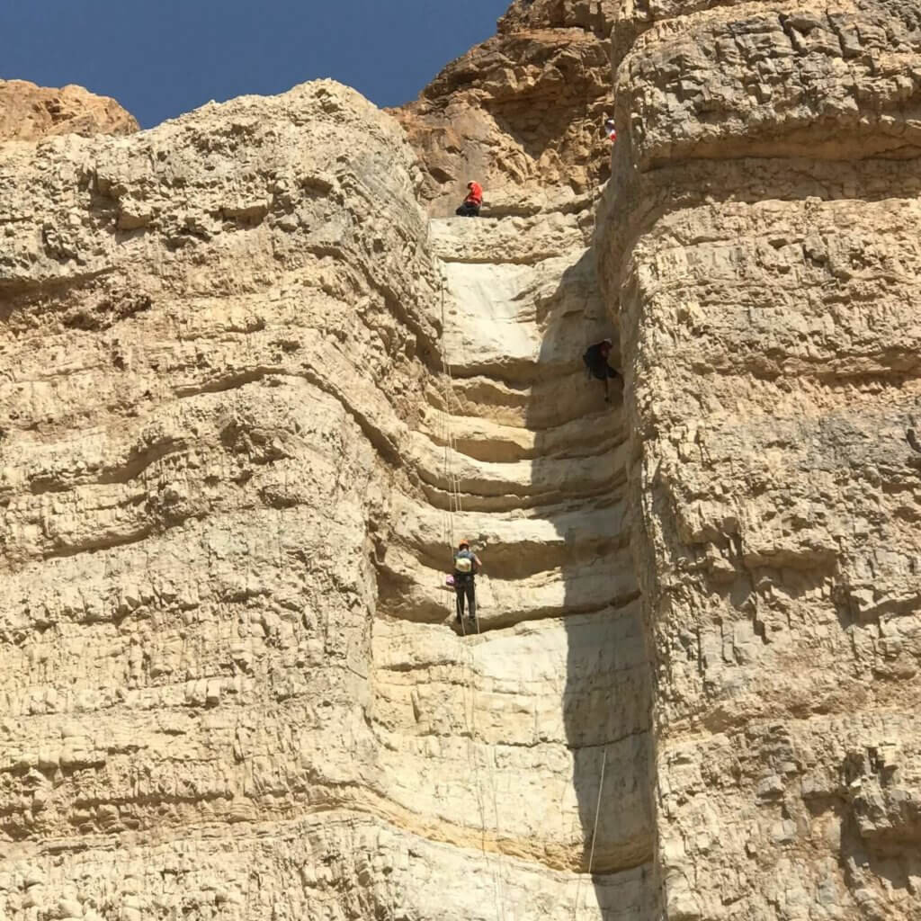
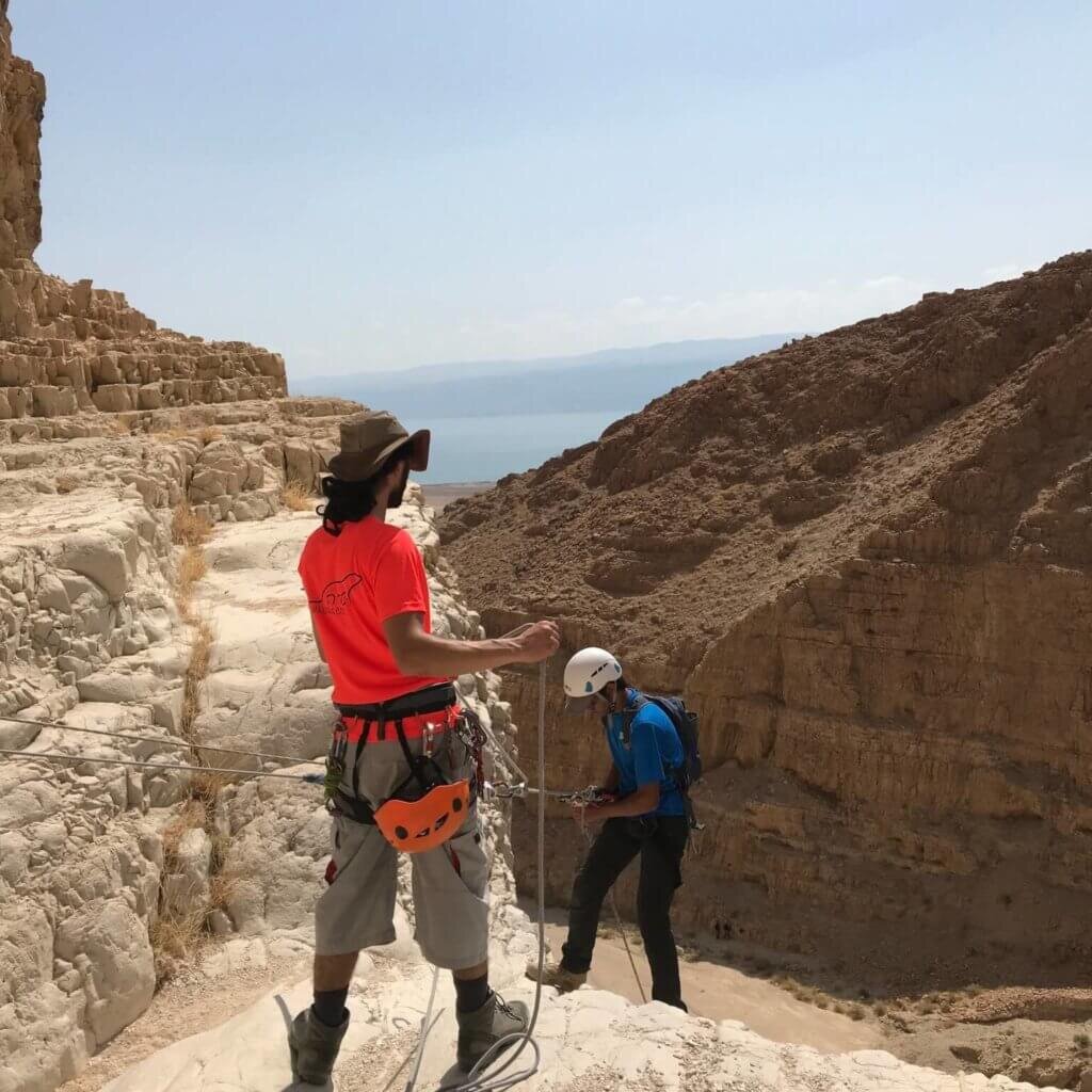
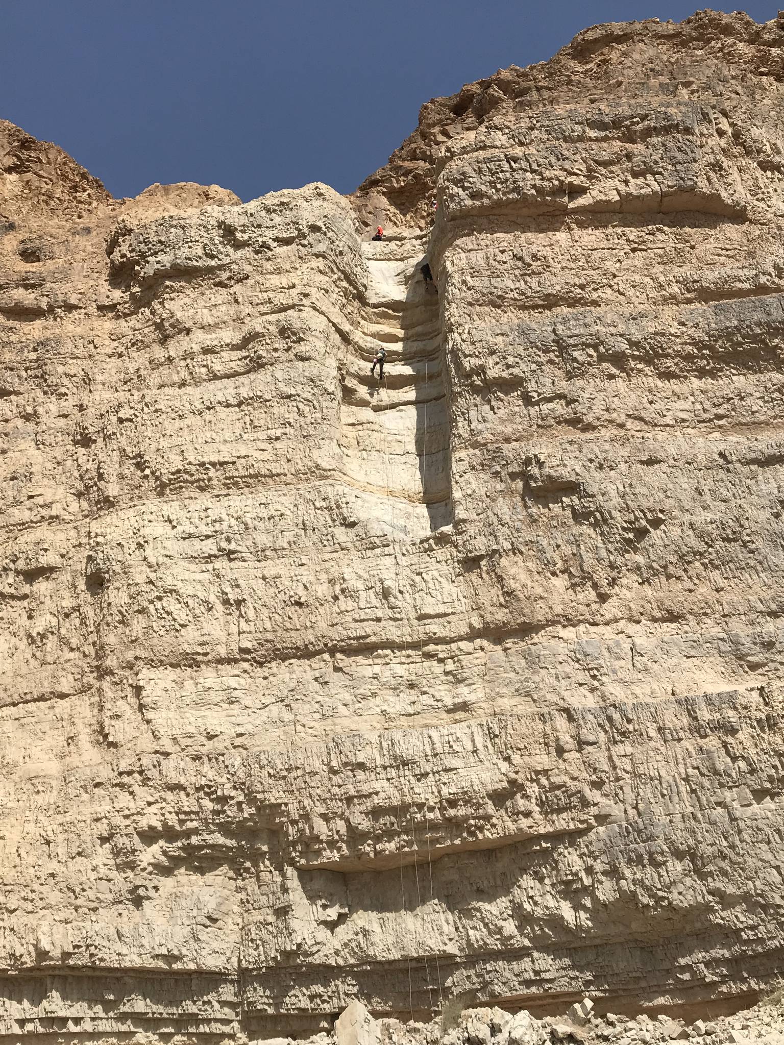
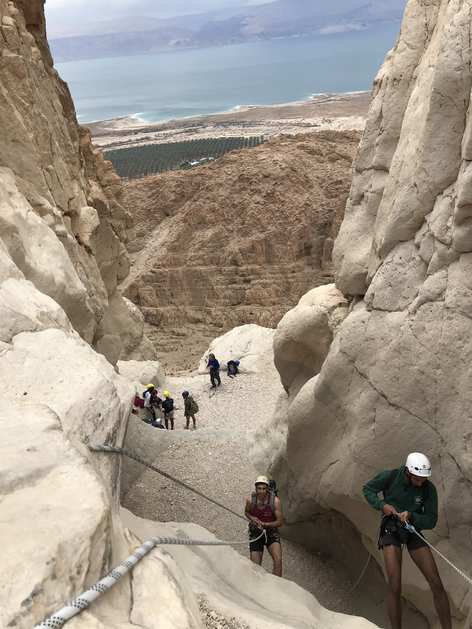
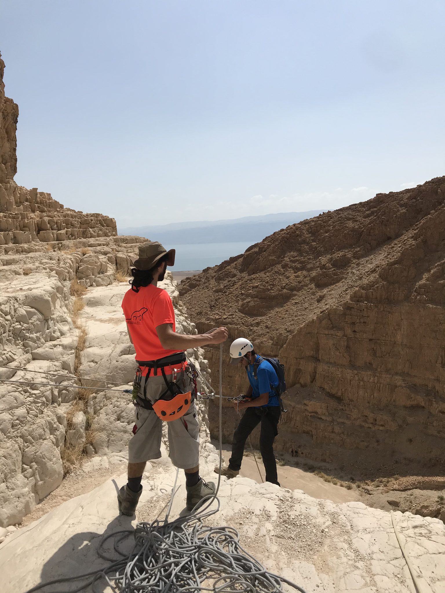
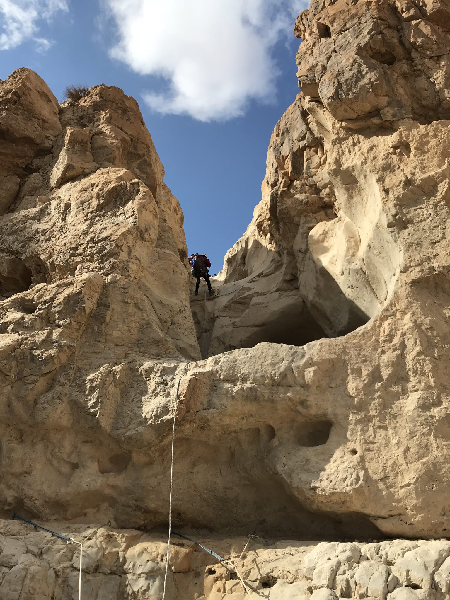
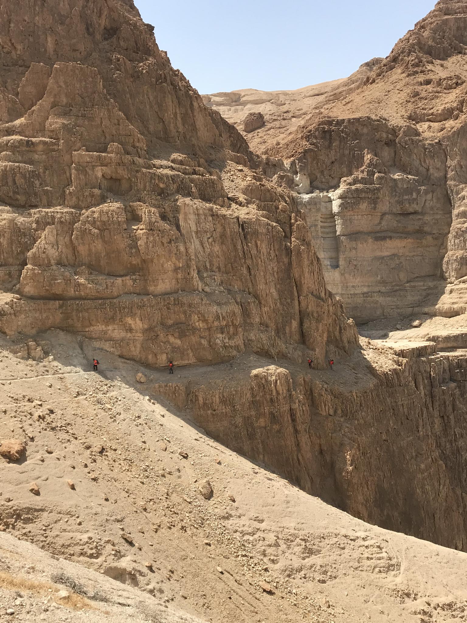
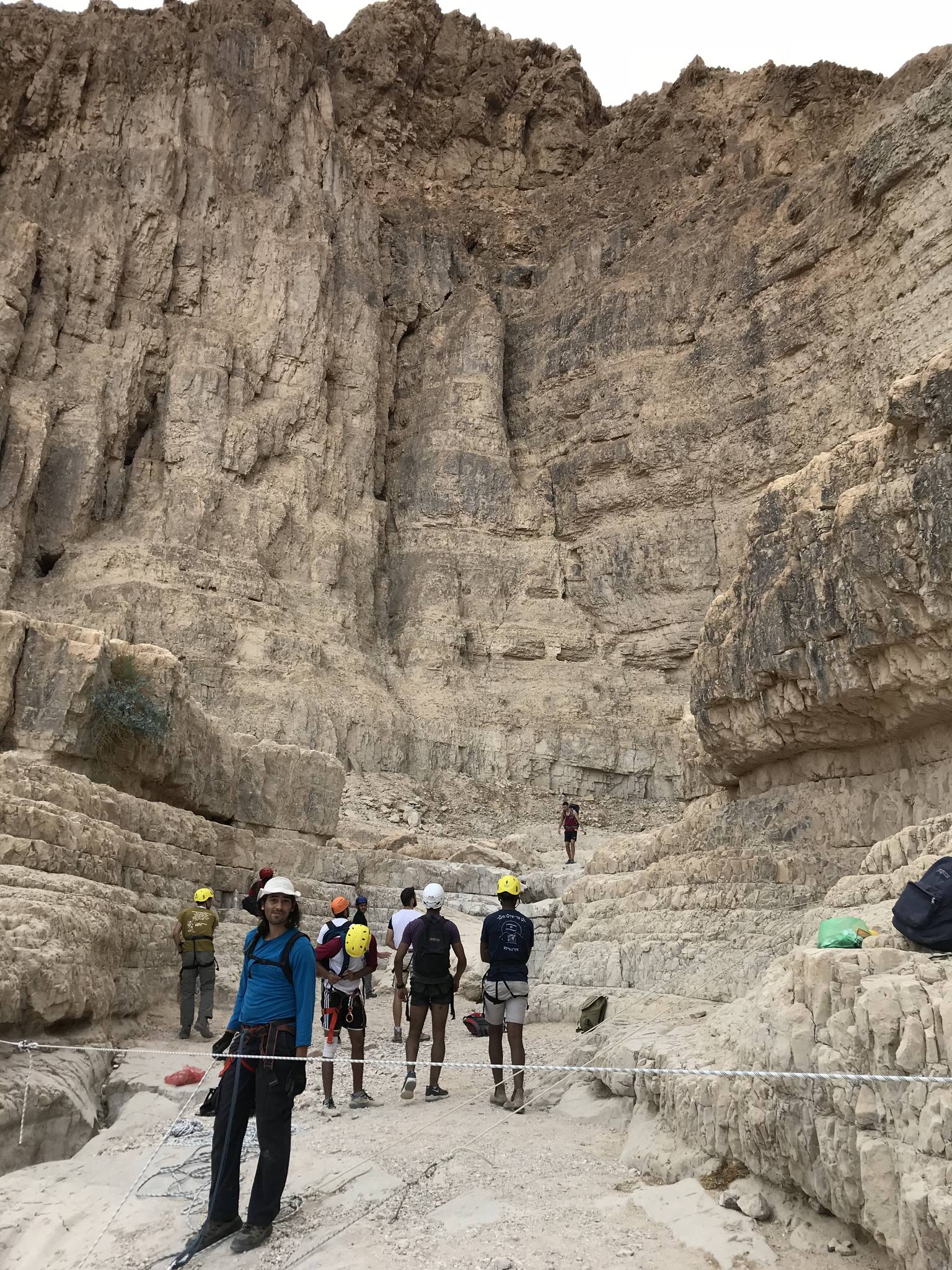
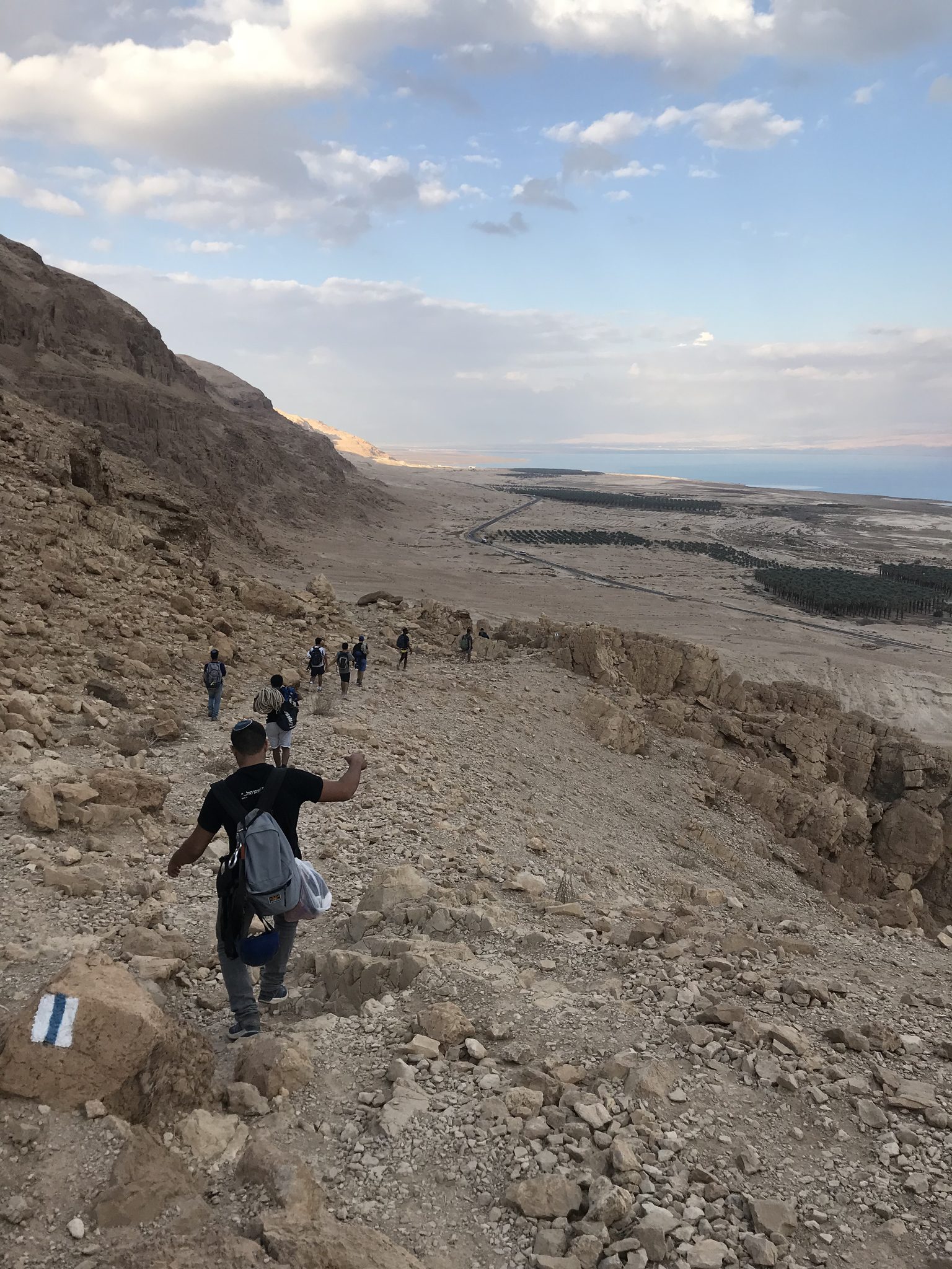
The day starts with a steep climb on the blue trail to a high platform with a view of the Dead Sea, continuing to the red jeep track and into the bed. Then comes a series of long rappels: a long opener, mostly on a slab; a stepped drop, with the next drop starting on its last step; and more long drops. The last drop can be done in one go or split.
There are a few exit points: after the first drop you can return to the approach trail, and after one of the later drops you can leave the canyon. At the end follow the stream mouth on the green trail to the parking.
Getting there
חנייה במטע התמרים *שימו ♥ להחנות את הרכב לא במרכז הציר אלה בצדדים כדי לא להפריע לחקלאים שעובדים שם.
Access notes
Set Waze to 'חניה נחל תמרים' and park in the Mitzpe Shalem date plantation. Climb the blue trail to the high platform, continue on the blue, cross a green jeep track to the junction with the red jeep track, and enter the bed from there. The exit follows the stream mouth on the green trail back to the parking. Plan the climb for early morning.
Parking
Park in the Mitzpe Shalem date plantation, at the side of the track rather than in the middle, so as not to block the farmers working there.
Difficulty and suitability
- Difficulty
- Hard
- Good for beginners
- No
- Minimum age
- From age 16
- Recommended group size
- Up to 10 people
- Typical duration
- 7 h
- Hiking distance
- 6.3 km
- Elevation gain
- 355 m
- Water activity
- Yes
- Route type
- Mixed
Descent profile
Scroll sideways for details
Waterfalls(5)
| # | Name | Height | Obstacle | Profile | Landing | Anchor | Bolts and stations | Rope | From previous | Details |
|---|---|---|---|---|---|---|---|---|---|---|
| 1 | אBypass on the right | Height: 75 mOther source: 80 m (sharloetgarim.co.il, 2026)Other source: 67 m (canaan-canyoning.xyz, 2023)Other source: 75 m (idan-na.co.il, 2023)Other source: 72 m (rybakian.com, 2019)Other source: 75 m (bashetach.co.il, 2026) | Waterfall / rappel | Slab | – | Chemical bolts | – | 160 m | – | |
| ||||||||||
| 2 | Bypass on the right | Height: – | Downclimb | – | – | – | – | – | – | |
| ||||||||||
| 3 | ב | Height: 28 mOther source: 25 m (sharloetgarim.co.il, 2026)Other source: 25 m (canaan-canyoning.xyz, 2023)Other source: 25 m (idan-na.co.il, 2023)Other source: 12 m (rybakian.com, 2019)Other source: 25 m (bashetach.co.il, 2026) | Waterfall / rappel | Stepped | – | Chemical bolts | – | 60 m | – | |
| ||||||||||
| 4 | ג | Height: 47 mOther source: 55 m (sharloetgarim.co.il, 2026)Other source: 45 m (canaan-canyoning.xyz, 2023)Other source: 55 m (idan-na.co.il, 2023)Other source: 48 m (rybakian.com, 2019)Other source: 50 m (bashetach.co.il, 2026) | Waterfall / rappel | – | – | Chemical bolts | – | 110 m | – | |
| ||||||||||
| 5 | ד | Height: 52 mOther source: 50 m (sharloetgarim.co.il, 2026)Other source: 55 m (canaan-canyoning.xyz, 2023)Other source: 60 m (idan-na.co.il, 2023)Other source: 60 m (rybakian.com, 2019)Other source: 60 m (bashetach.co.il, 2026) | Waterfall / rappel | – | – | Chemical bolts | – | 130 m | – | |
| ||||||||||
| 6 | ה | Height: 52 mOther source: 55 m (sharloetgarim.co.il, 2026)Other source: 50 m (canaan-canyoning.xyz, 2023)Other source: 55 m (idan-na.co.il, 2023)Other source: 55 m (rybakian.com, 2019)Other source: 55 m (bashetach.co.il, 2026) | Waterfall / rappel | – | – | Chemical bolts | – | 120 m | – | |
| ||||||||||
| 7 | Bypass on the right | Height: – | Downclimb | – | – | – | – | – | – | |
| ||||||||||
When to go
- JanuaryPossible
- FebruaryPossible
- MarchBest
- AprilBest
- MayBest
- June
- July
- August
- September
- OctoberBest
- NovemberBest
- DecemberPossible
- Best
- Possible
Water: שיטפון אחרון בנחל - 11/12/25 (סיכוי לגב עד המותניים במפל מס' 4)
Seasons
Points on the map
- ParkingPrimaryמיקום החנייה במפה
31.63875, 35.41758
- Meeting pointמטעי התמרים של קיבוץ מצפה שלם, כביש 90, צפון ים המלח
31.63890, 35.41760
- Waterfallמפל תמרים
31.64043, 35.40589
Safety
High flash flood risk in winter and heat stress in summer: check the forecast before going. After a flood there may be a deep pool at one of the later drops. Cell coverage is partial. Never come with ropes shorter than the longest drop needs; it is life-threatening.
Escape routes
- From the foot of this drop a faint path leads south and joins Ma'ale Tmarim.
- Before the last big rappel you can leave by the right bypass, which climbs to Ma'ale Tmarim, or by the left bypass, which goes down to the stream mouth on the shore.
Weather constraints
פעילות כל השנה למעט ימי התראות שיטפון. בקיץ חום קיצוני - לצאת לפנות בוקר. סתיו ואביב עדיפים.
Recommendations
For fit hikers and experienced rappellers, not beginners. Autumn and spring are the best seasons, and start early in the morning. The exit points let you shorten the day if needed.
Equipment
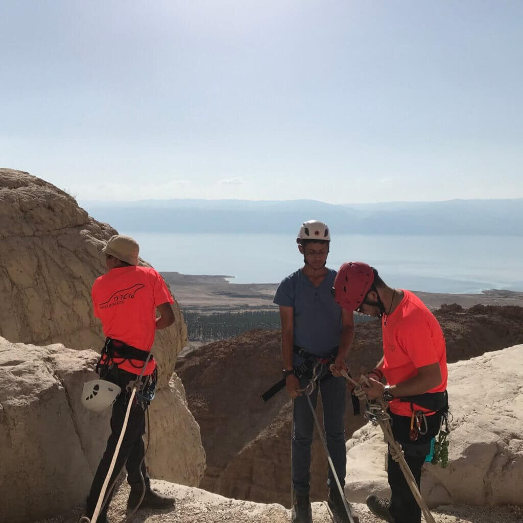
Two long ropes suited to the longest drop, which cover every drop. A helmet, harness and descender for each rappeller, a headlamp and plenty of water.
Photos
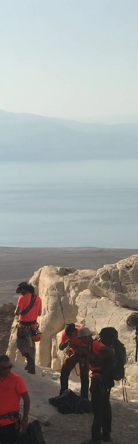
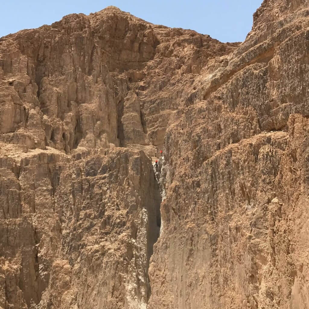
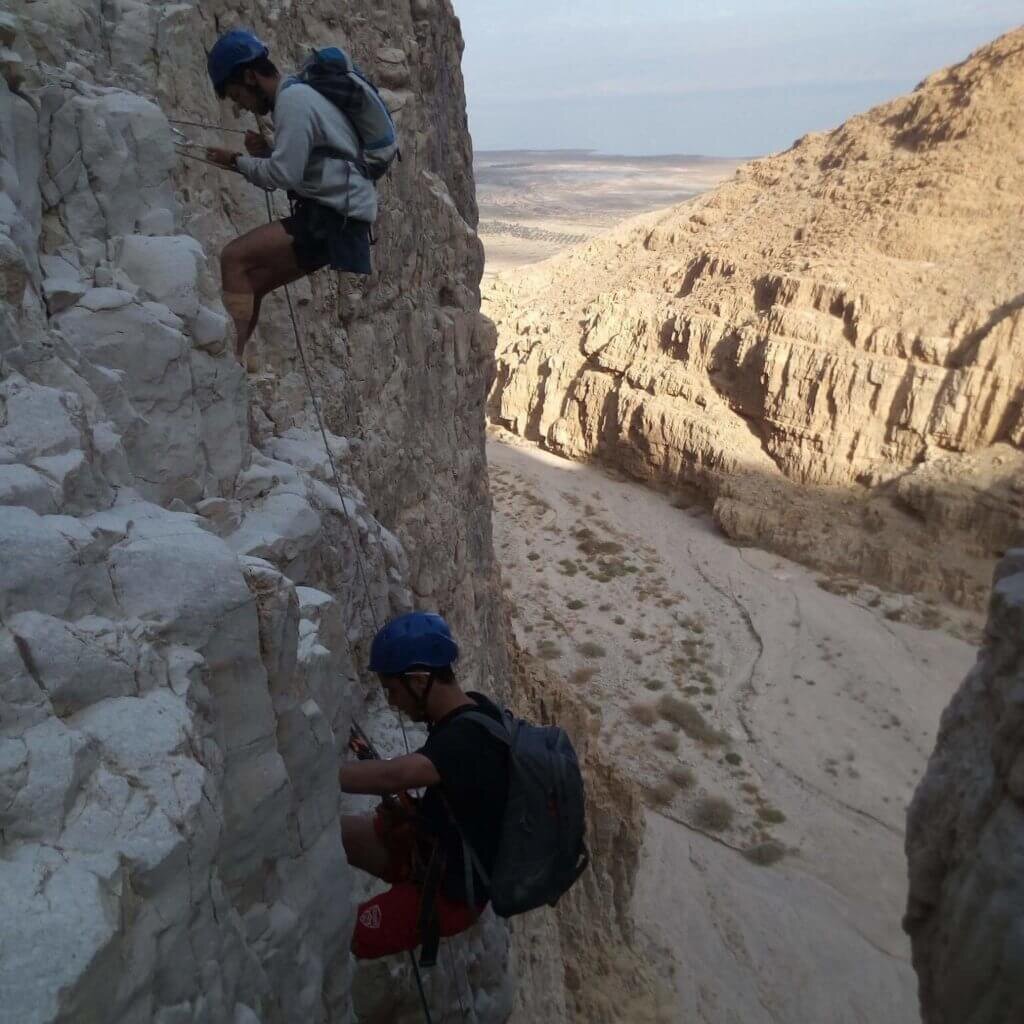
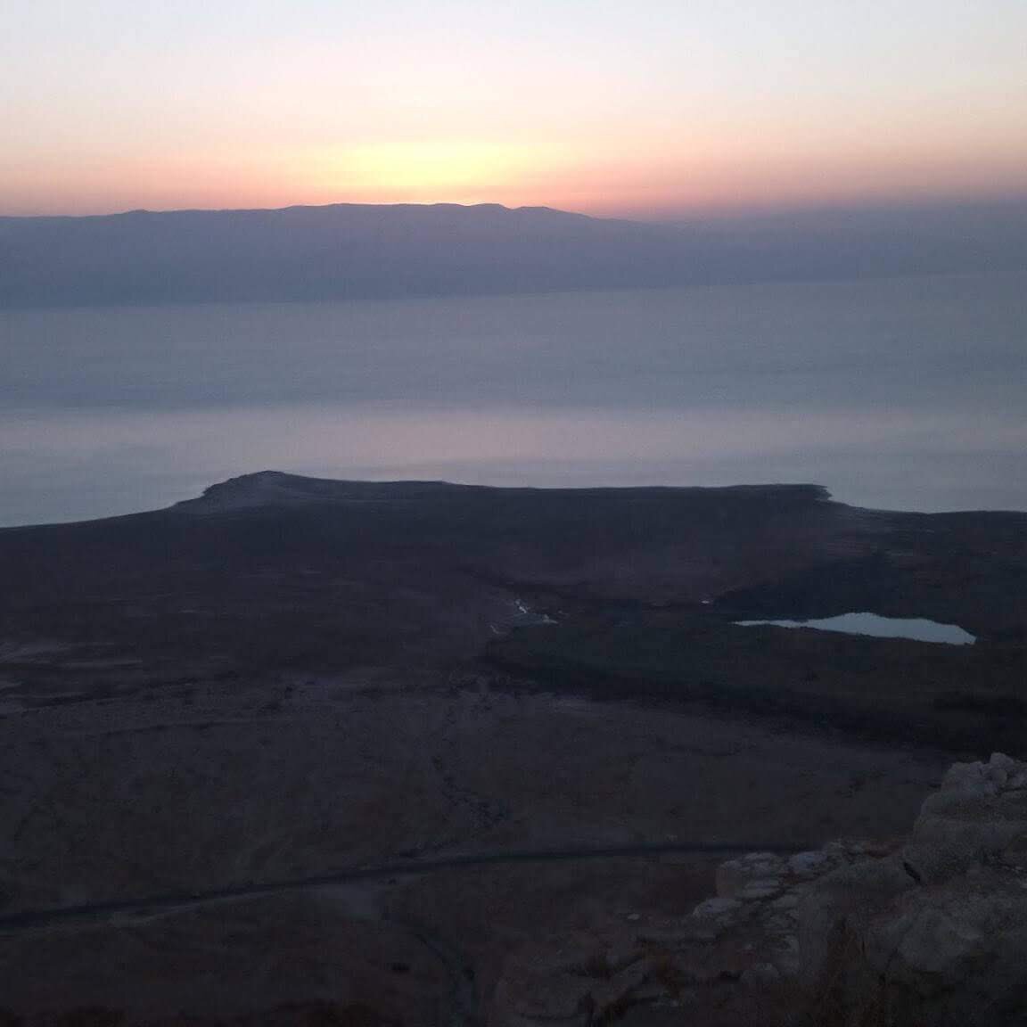
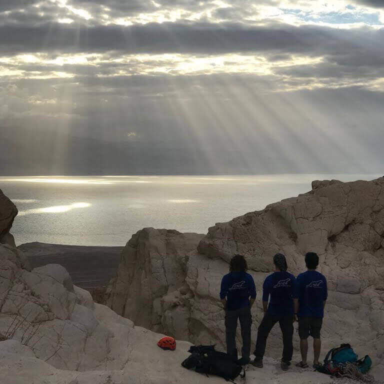
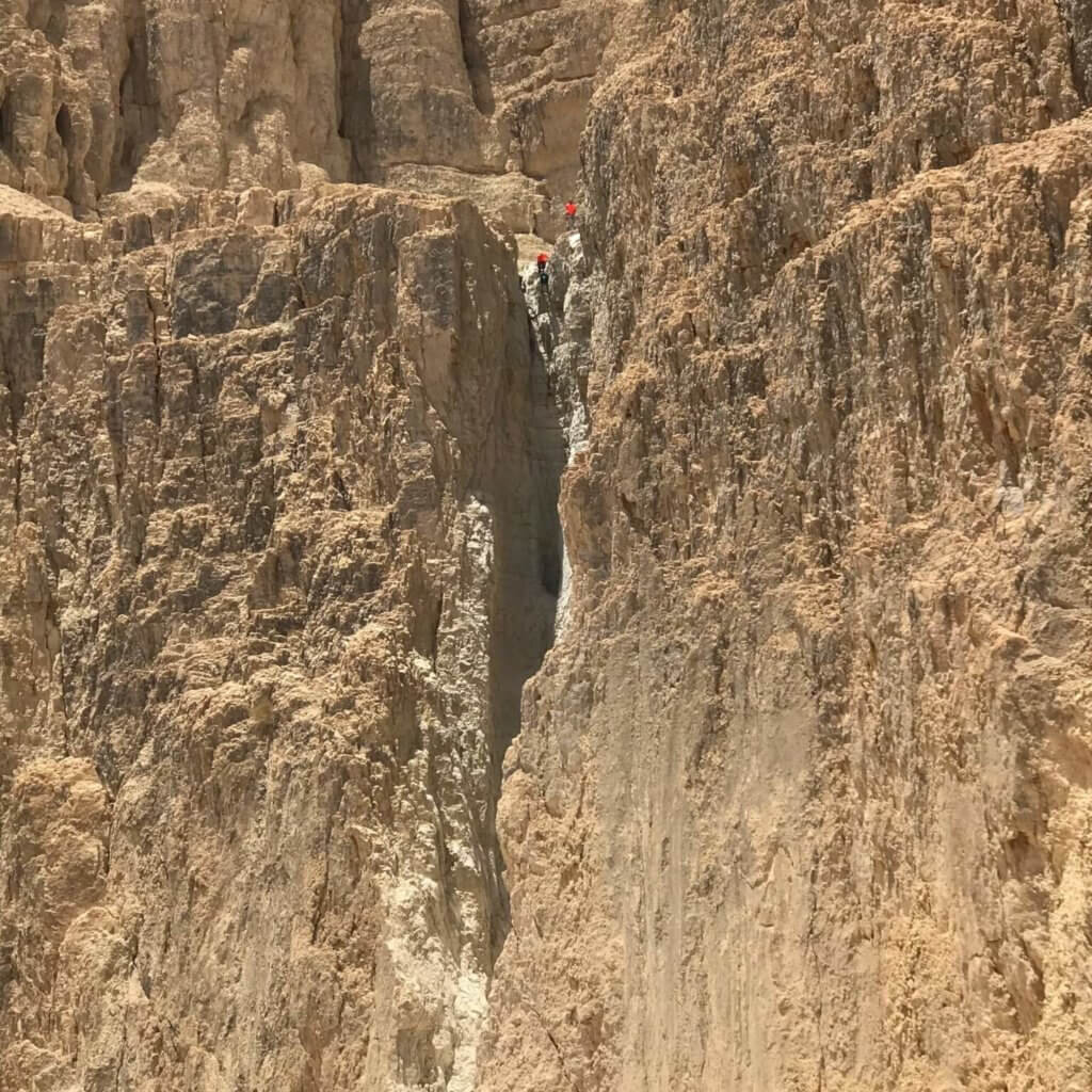
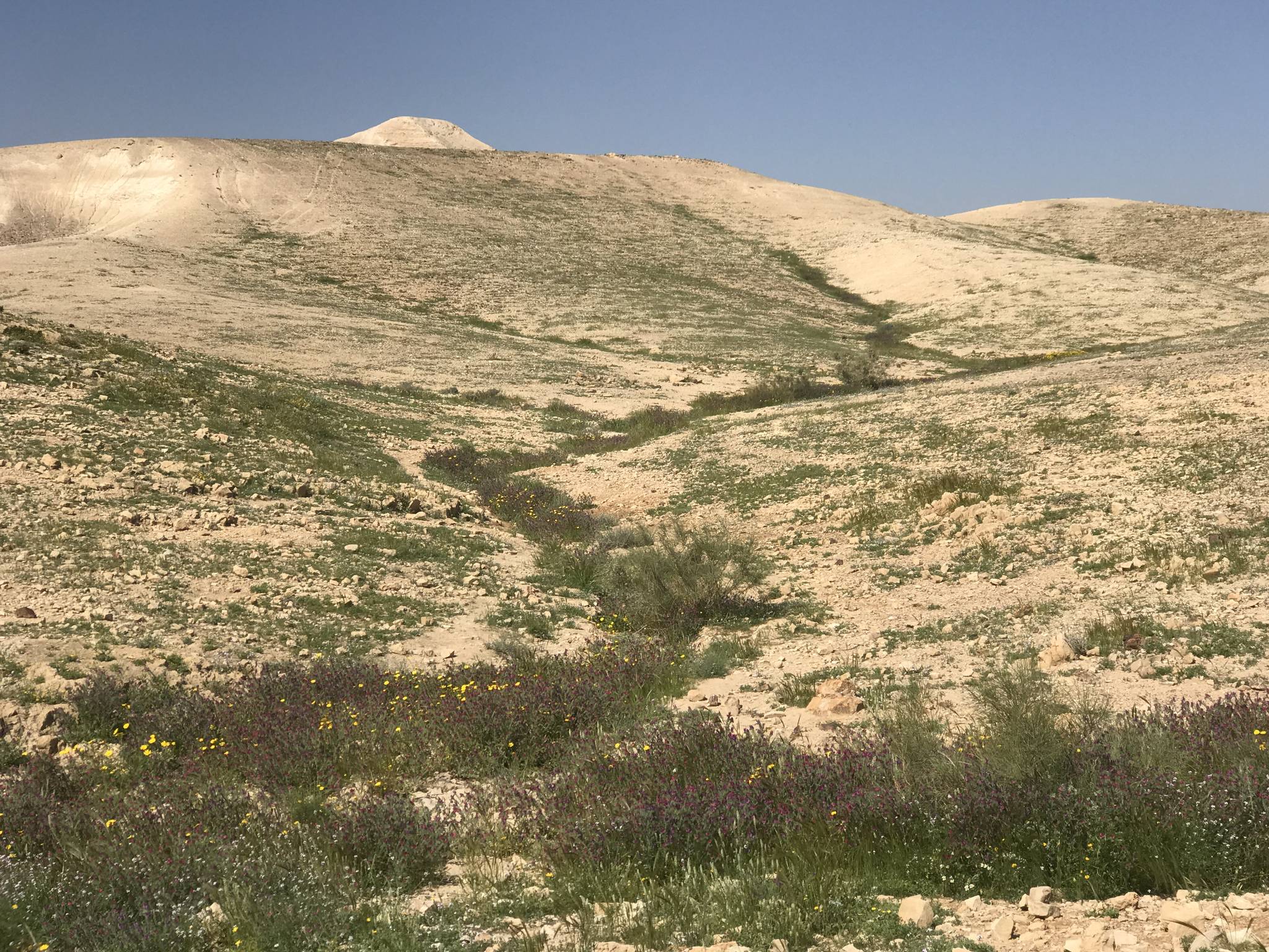
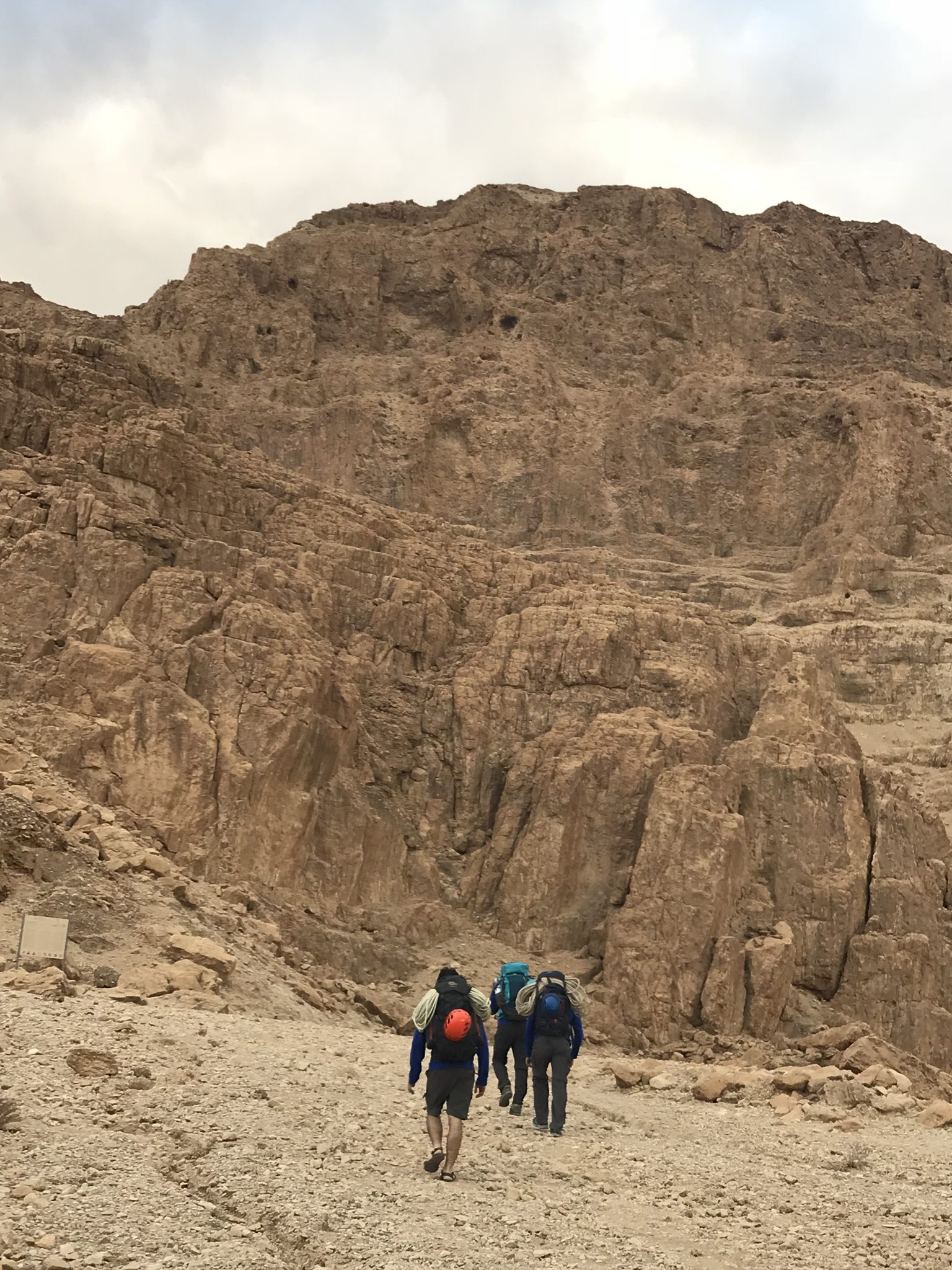
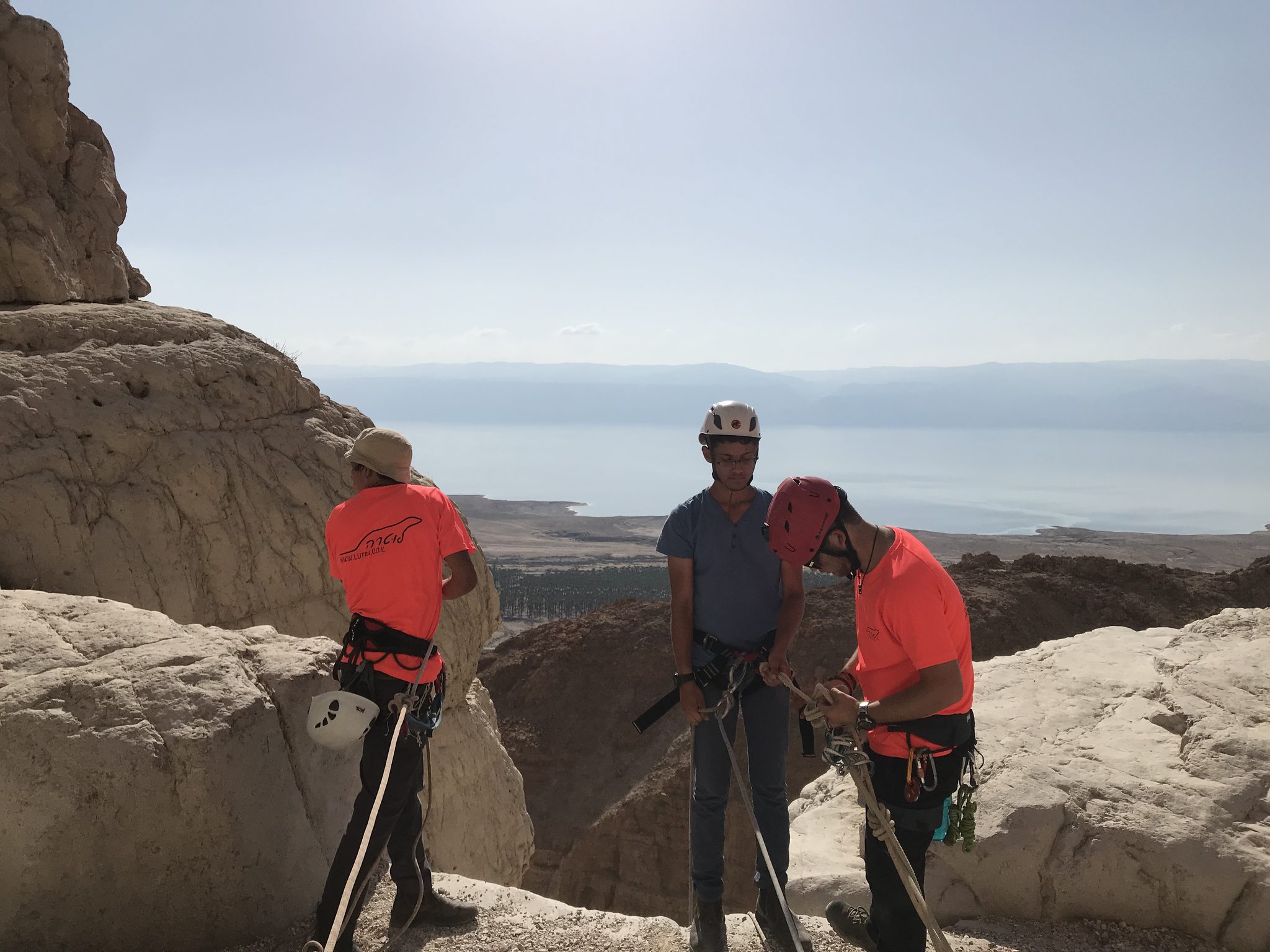
נחל תמרים, יולי 2019 Photo: נדב כהן

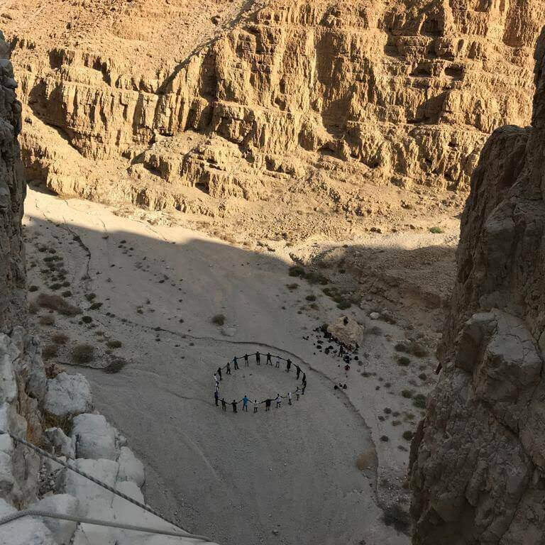
נוף קניון במדבר יהודה ליד ים המלח Photo: Mboesch, CC BY-SA 4.0
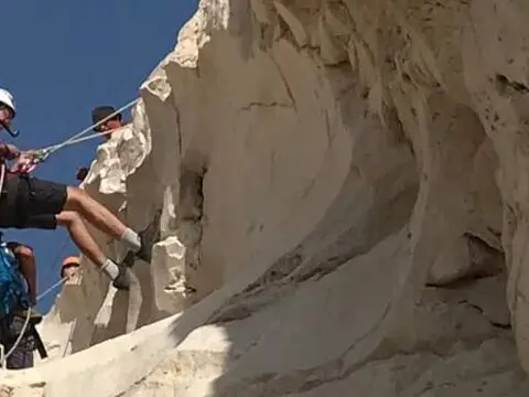
Photo: Community Ropes
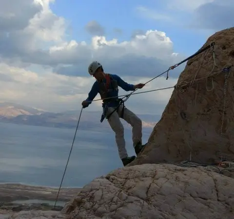
Photo: Community Ropes
Photo: Community Ropes
Photo: Community Ropes
Photo: Community Ropes
Photo: Community Ropes
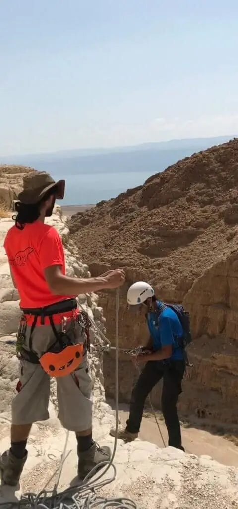
Photo: Community Ropes
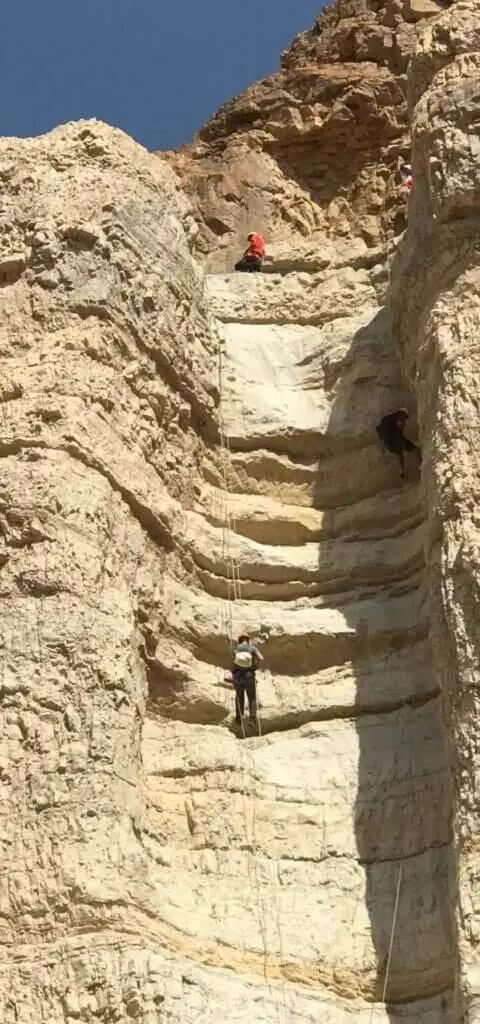
Photo: Community Ropes
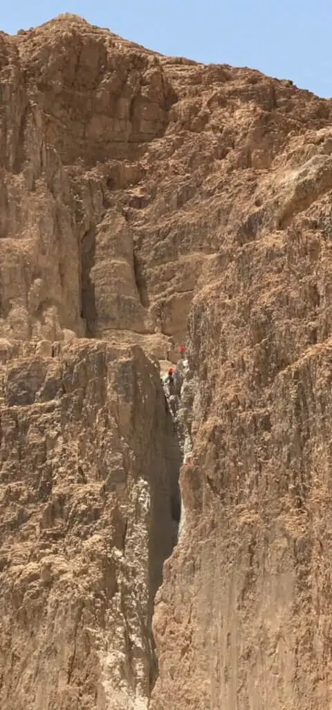
Photo: Community Ropes
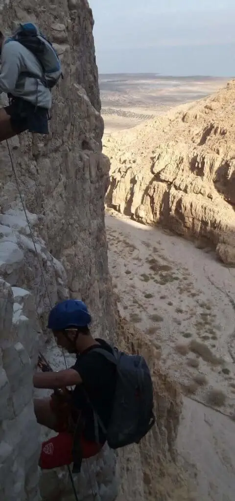
Photo: Community Ropes
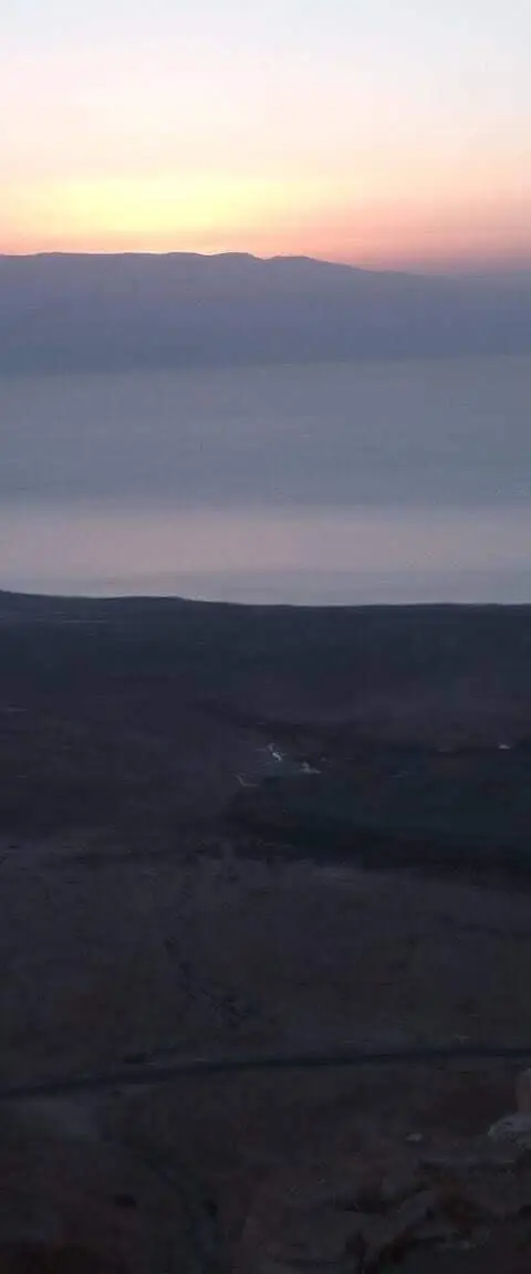
Photo: Community Ropes
Photo: Community Ropes
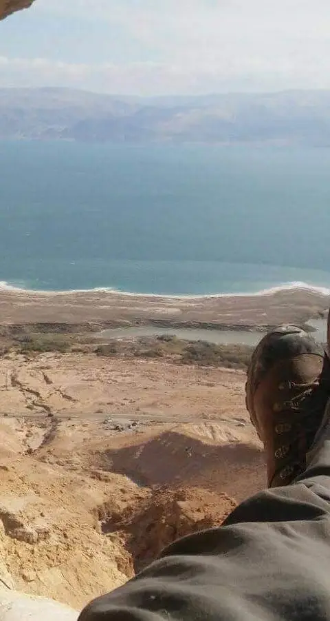
Photo: Community Ropes
Photo: Community Ropes
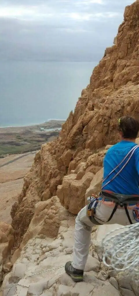
Photo: Community Ropes
מפל I Photo: Community Ropes
מפל I Photo: Community Ropes
מפל II Photo: Community Ropes
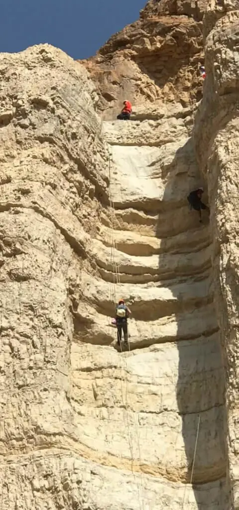
מפל III Photo: Community Ropes
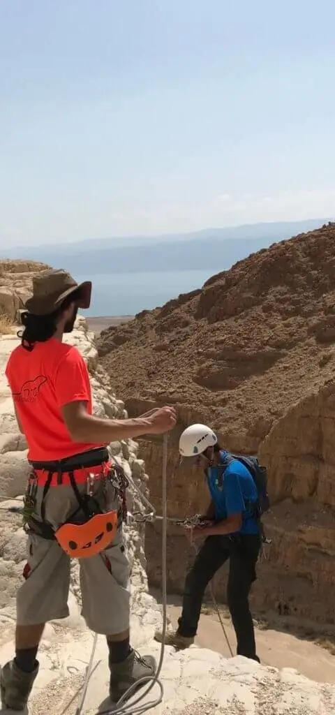
מפל IV Photo: Community Ropes
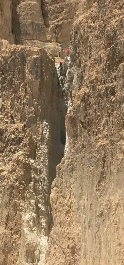
מפל IV Photo: Community Ropes
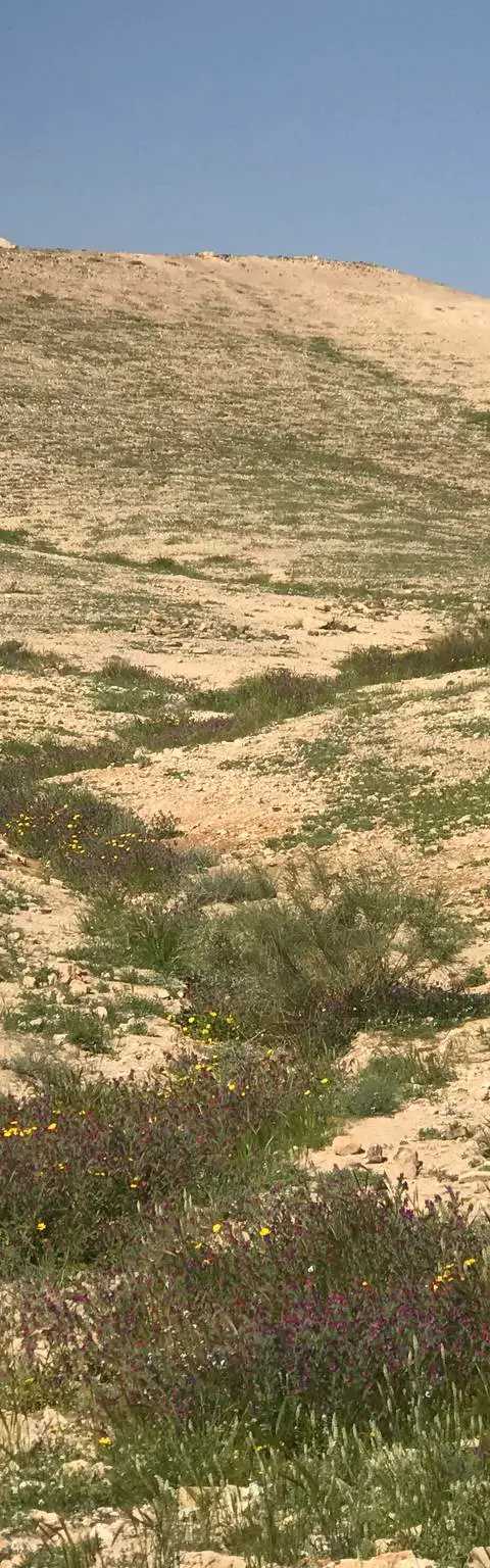
נחל תמרים, מרץ 2019 Photo: נדב כהן
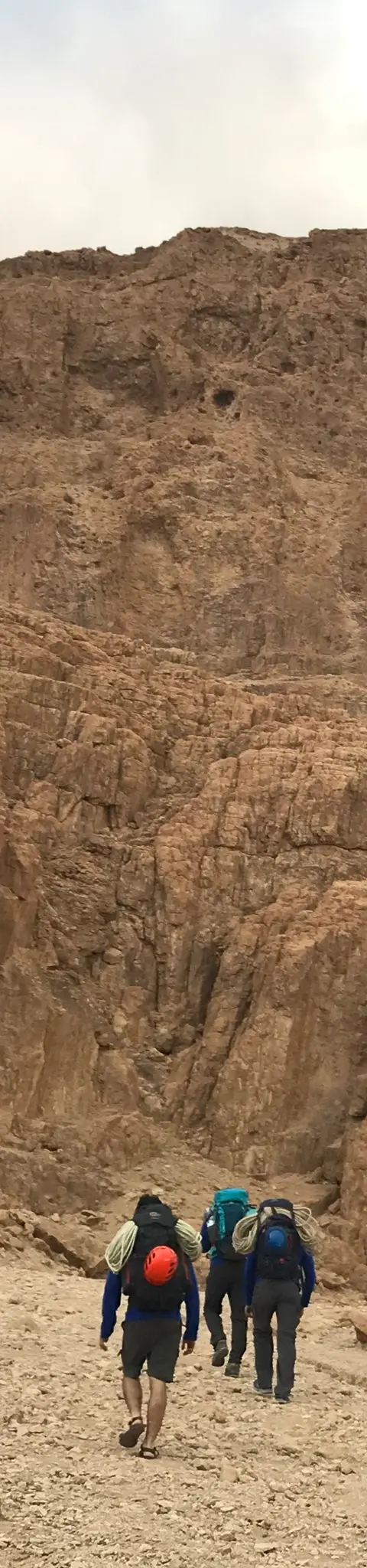
נחל תמרים, נובמבר 2017 Photo: נדב כהן
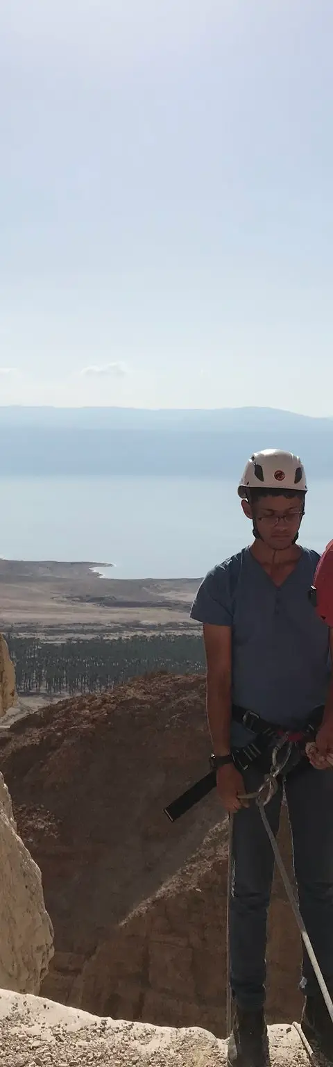
נחל תמרים, יולי 2019 Photo: נדב כהן
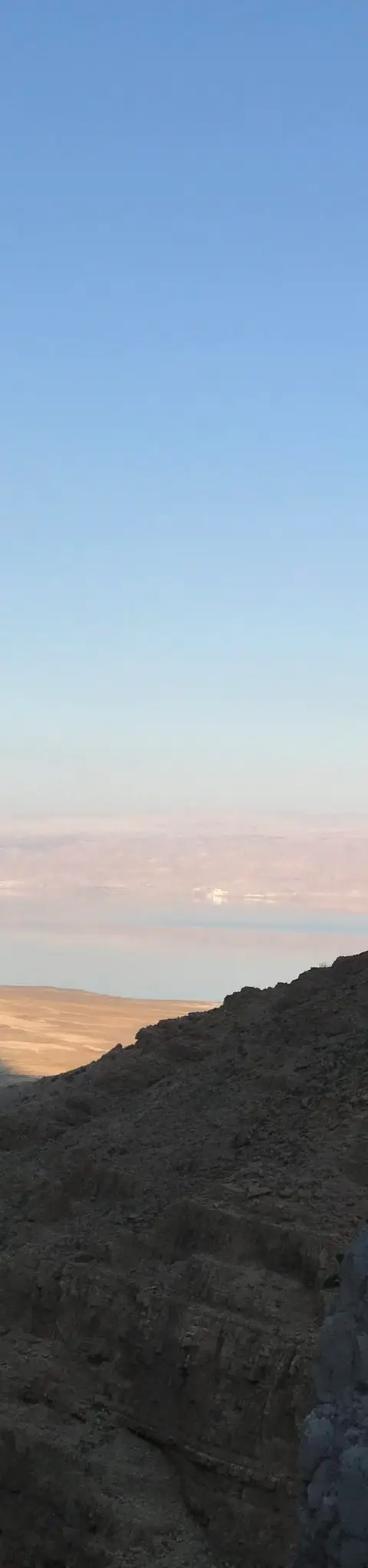
נחל תמרים, מרץ 2019 Photo: נדב כהן
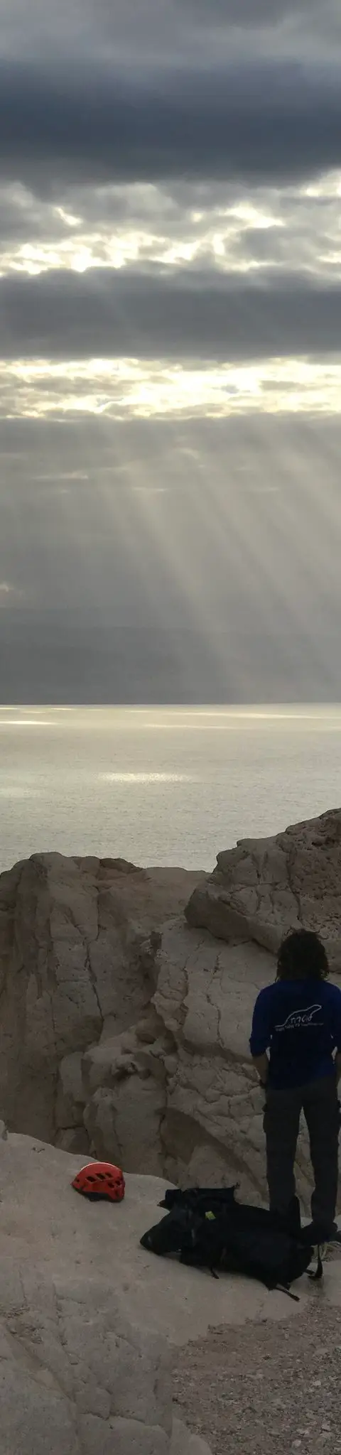
נחל תמרים, נובמבר 2017 Photo: נדב כהן
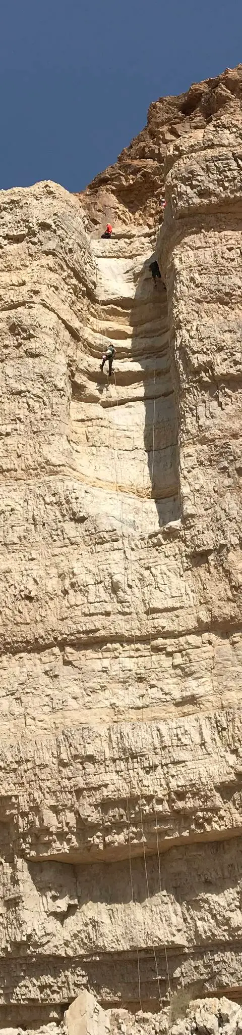
נחל תמרים, יולי 2019 Photo: נדב כהן
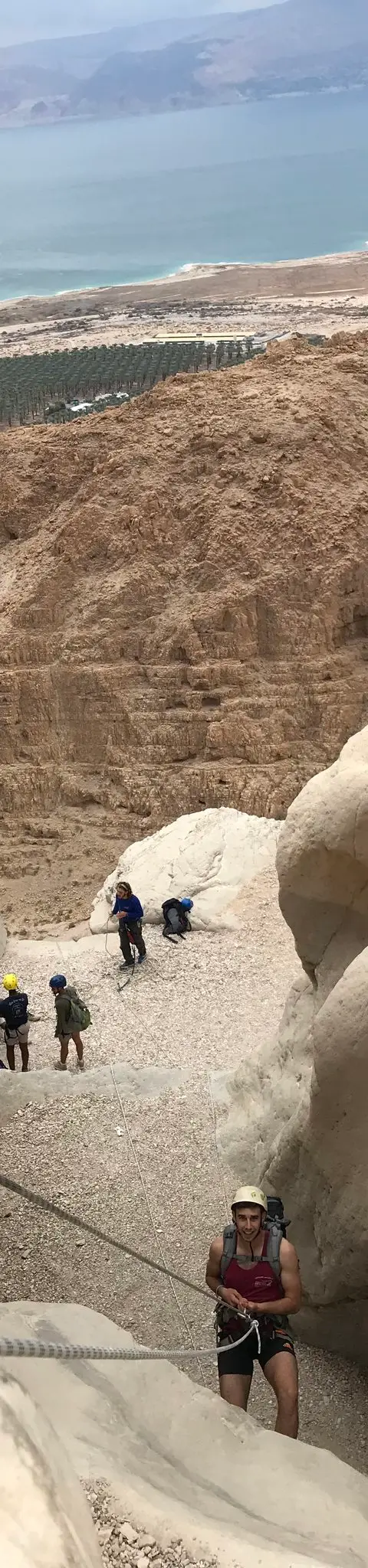
נחל תמרים, נובמבר 2017 Photo: נדב כהן
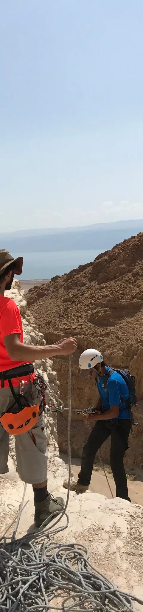
נחל תמרים, יולי 2019 Photo: נדב כהן
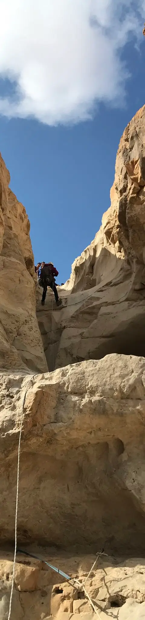
נחל תמרים, נובמבר 2017 Photo: נדב כהן
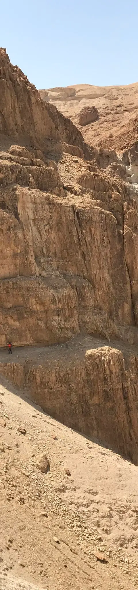
נחל תמרים, יולי 2019 Photo: נדב כהן
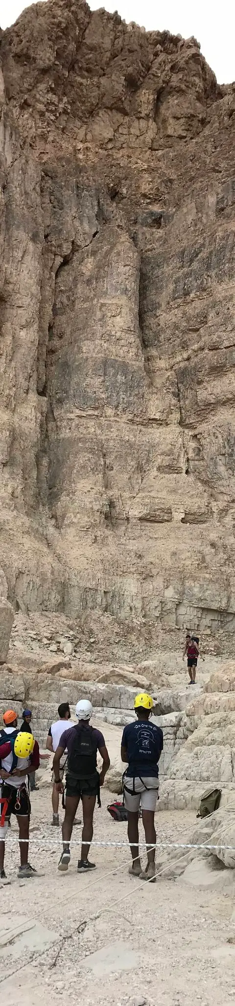
נחל תמרים, נובמבר 2017 Photo: נדב כהן
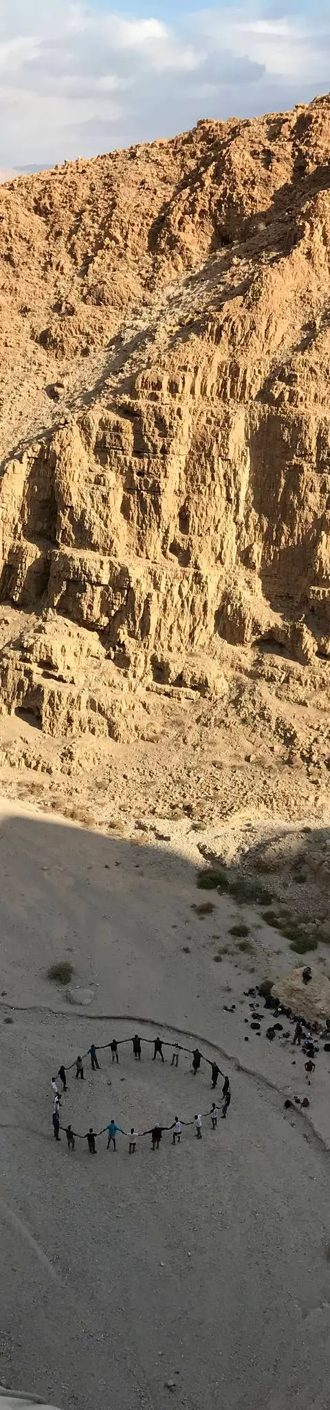
נחל תמרים, נובמבר 2017 Photo: נדב כהן
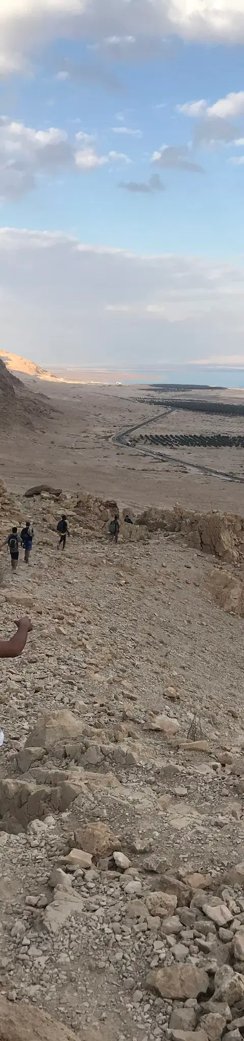
נחל תמרים, נובמבר 2017 Photo: נדב כהן


Data sources
The information on this page was collected from these sources.
- bashetach.co.ilbashetach.co.il, License: all rights reserved (blog content)
- sharloetgarim.co.il
- ropes.community
- ropes.community
- ropes.community
- radius.co.il
- openstreetmap.org© OpenStreetMap contributors, License: ODbL 1.0
- canaan-canyoning.xyzcanaan-canyoning.xyz
- idan-na.co.ilidan-na.co.il
- rybakian.comIan Rybak, rybakian.com. dateConfidence: low (bulk resave stamp 2019-11-20; real information date unknown, not later than that), License: unknown; personal site, no licence stated
- Facts consulted in a Judean Desert guidebook (title pending)
External links
Comments on this site
General comments on the whole site. About one part? Use "Comments" next to its heading.
No comments here yet.