
Flash flood danger
Do not enter the canyon when rain is forecast in the area or upstream, even under clear skies. Check the forecast on the morning of the trip.
Inside a nature reserve
Keep to the reserve rules and stay on the marked trails.
A short, easy desert canyon near Arava junction, with drops you can rappel or climb down on ladders, good for families and beginners.
Also known as: Nachal Tamar
- Accessible
- arava
- Good for beginners
- Desert
- Families
- Ladders
Information as of 14 Sept 2025
At a glance
- Duration
- 2.5 h
- Trail length
- 1 km
- Tallest waterfall
- 18 m
- Number of waterfalls
- 3
- Rope needed
- 50 m
- Shuttle
- Needed
- Water
- Dry
- Circular route:
- No
- Flash flood risk:
- High
- Reserve:
- Yes
Field reports
How much water there was and how it went, from people who were here. Every report is reviewed before it is published.
No reports from this place yet
Were you here lately? Tell us how much water there was and how it went. It helps the next group plan.
Meeting point (parking)
Mitzpe Tamar on Route 25
The meeting point is the parking spot. You continue on foot from here.
Coordinates: 30.99270, 35.34560
About
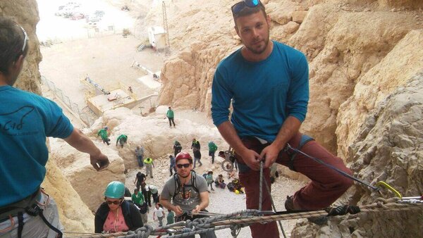
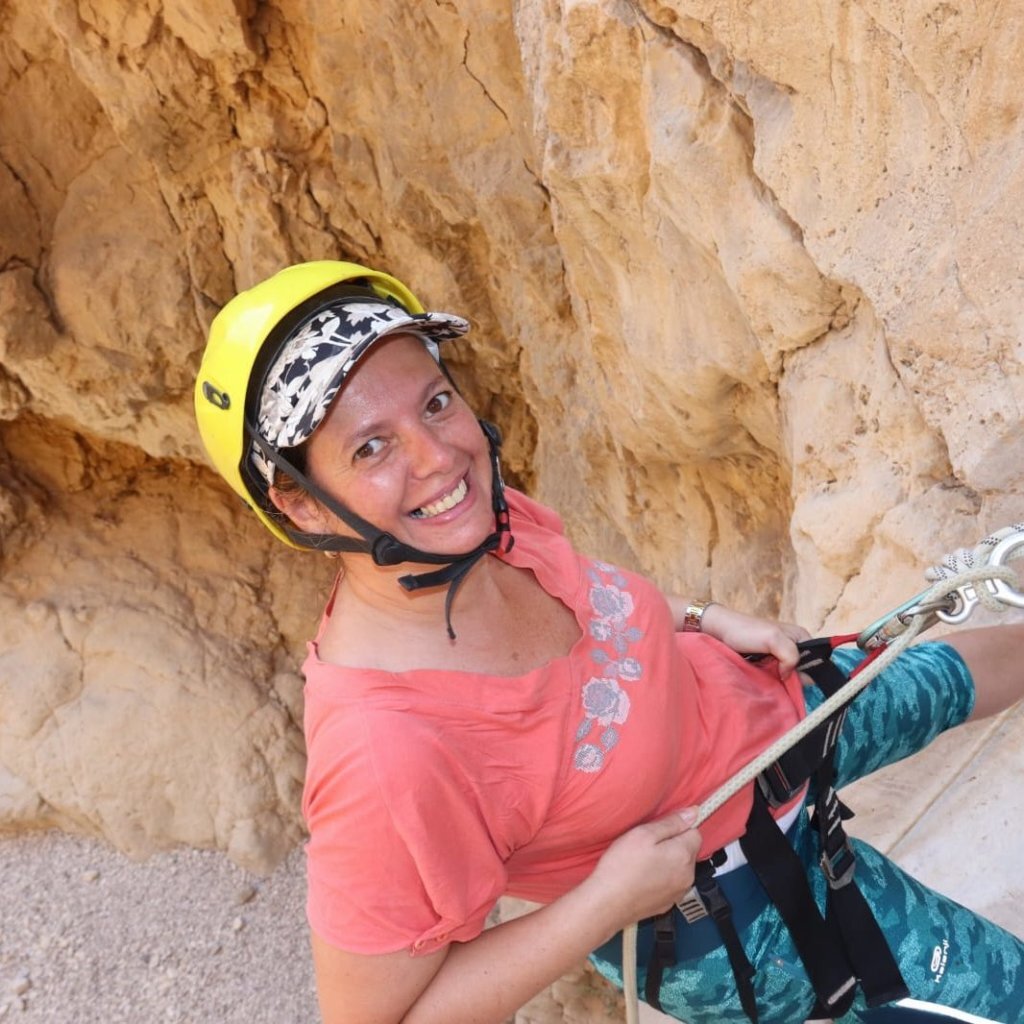
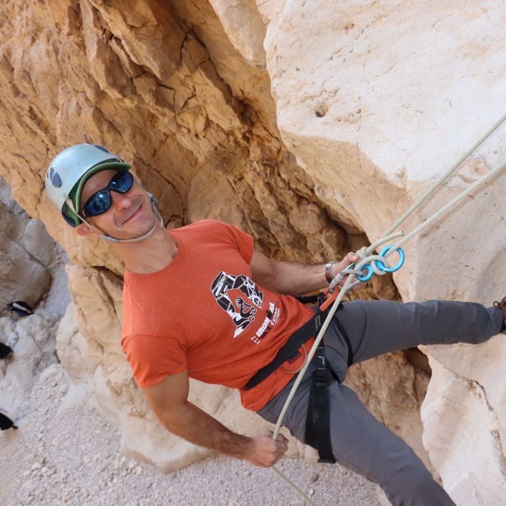
Nahal Tamar runs from Metzad Tamar down to Arava junction, and its canyon section is short and accessible. It has dry drops and narrow passages between rock walls, and at each drop you can choose between rappelling and climbing down a stake ladder, so people who do not want to rappel can still come along.
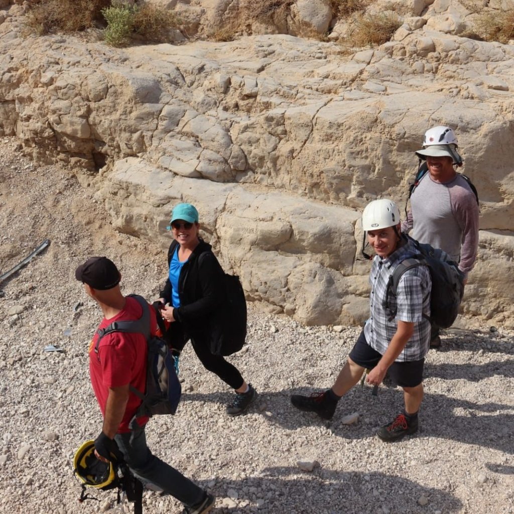
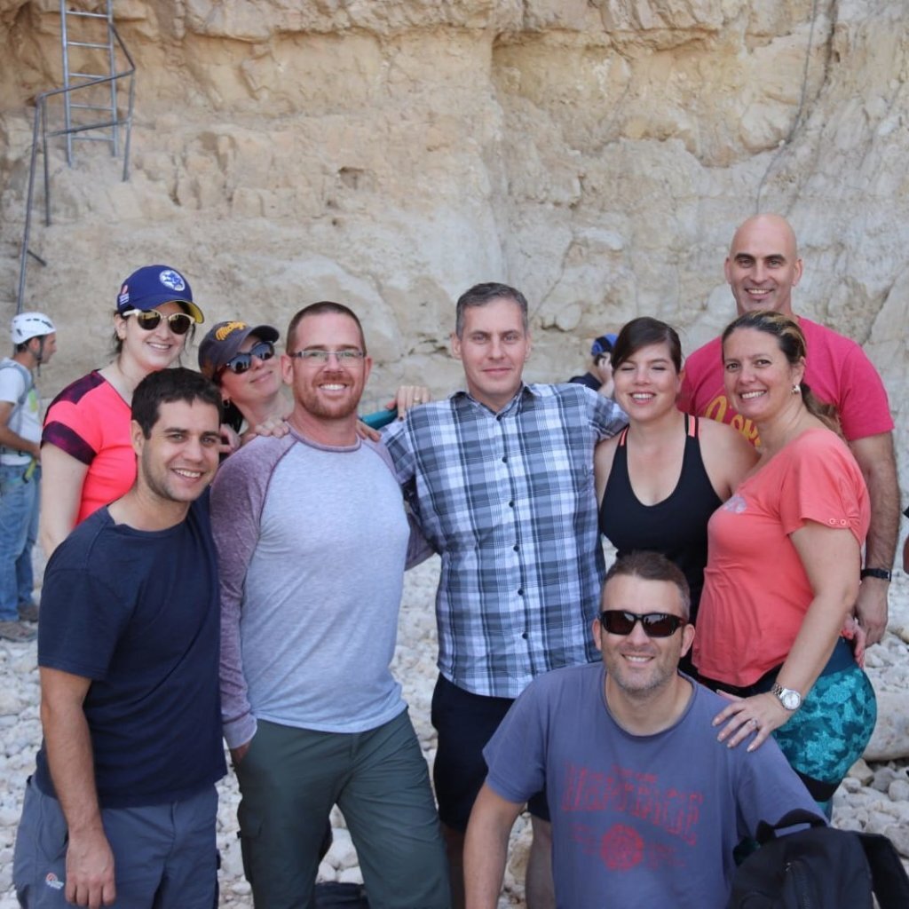
It is an easy, short route for families, groups and beginners, and gives a first taste of canyoning without a long day. The Nahal Tamar cliff is also listed as a separate rappelling site.
Getting there
איך מגיעים? רשמו בווייז- דלק מנטה גל ערבה. התחילו ללכת מערבה לתוך הנחל על סימון שבילים ירוק עד שתגיעו לסולם יתדות. תחילת מסלול הגלישה היא בקצה הסולם
Access notes
The meeting point is the Nahal Tamar memorial above Arava junction, on Route 25 coming from Dimona. Another option: from the gas station at Gal Arava (Waze: 'דלק מנטה גל ערבה'), walk west into the stream on the green trail to the stake ladder, where the rappelling route begins.
Parking
Parking by the Nahal Tamar memorial above Arava junction, or by the gas station at Gal Arava.
Difficulty and suitability
- Difficulty
- Easy
- Good for beginners
- Yes
- Minimum age
- From age 8
- Recommended group size
- Up to 20 people
- Typical duration
- 2.5 h
- Hiking distance
- 1 km
- Elevation gain
- 80 m
- Water activity
- No
- Route type
- Dry
Descent profile
Scroll sideways for details
Waterfalls(3)
| # | Name | Height | Obstacle | Profile | Landing | Anchor | Bolts and stations | Rope | From previous | Details |
|---|---|---|---|---|---|---|---|---|---|---|
| 1 | – | Height: 2 m | Downclimb | – | – | – | – | – | 250 m | |
| ||||||||||
| 2 | – | Height: 3 m | Downclimb | – | – | – | – | – | – | |
| ||||||||||
| 3 | א | Height: 15 mOther source: 10 m (ashdotextreme.co.il, 2025)Other source: 14 m (idan-na.co.il, 2025) | Waterfall / rappel | Slab | – | – | – | 40 m | – | |
| ||||||||||
| 4 | – | Height: 2 m | Downclimb | – | – | – | – | – | – | |
| ||||||||||
| 5 | – | Height: 3 m | Downclimb | – | – | – | – | – | – | |
| ||||||||||
| 6 | ב | Height: 7 m | Waterfall / rappel | Slab | – | – | – | – | – | |
| ||||||||||
| 7 | ג | Height: 18 mOther source: 18 m (ashdotextreme.co.il, 2025)Other source: 22 m (idan-na.co.il, 2025) | Waterfall / rappel | Slab | – | – | – | 50 m | – | |
| ||||||||||
| 8 | – | Height: – | Downclimb | Stepped | Dry | – | – | – | – | |
| ||||||||||
Seasons
Points on the map
- Meeting pointPrimaryאנדרטת נחל תמר, מעל צומת ערבה, כביש 25 מכיוון דימונה
30.99270, 35.34560
- TrailheadMitzpe Tamar on Route 25
30.98305, 35.30084
- Route endRoute 90 crosses Nahal Tamar
30.98254, 35.30715
Safety
No entry during flood warnings. Summer heat is severe, and the ladders get very hot. Go down the ladders one at a time.
Weather constraints
מומלץ באביב, סתיו וחורף. בקיץ חום כבד - לצאת בשעות הבוקר המוקדמות בלבד. אסור לצאת בהתראות שיטפון.
Recommendations
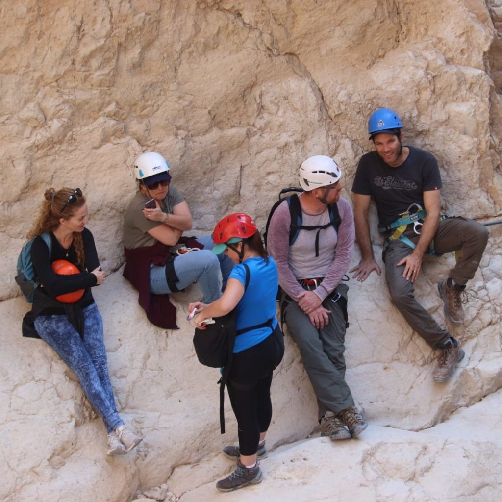
Suits families with children, beginners and groups. The season is winter, autumn and spring. Ein Plutit nearby is a good place to cool off.
Equipment
A medium-length rope for the rappels, a harness and helmet for each rappeller, and water.
Photos

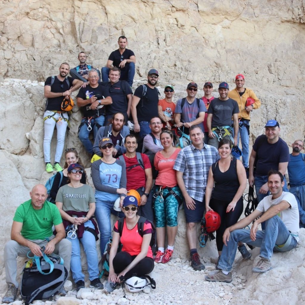
טיפוס בנחל תמר, ערבה Photo: חפי רוקח, Public domain

מפל יבש בנחל תמר, בקעת ערבה Photo: ekeidar, CC BY-SA 3.0
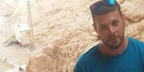
Photo: Community Ropes
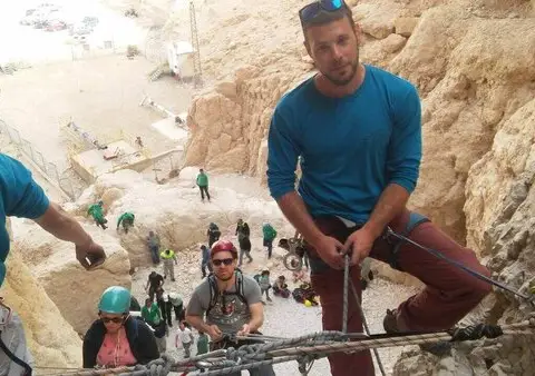
Photo: Community Ropes

Photo: Community Ropes
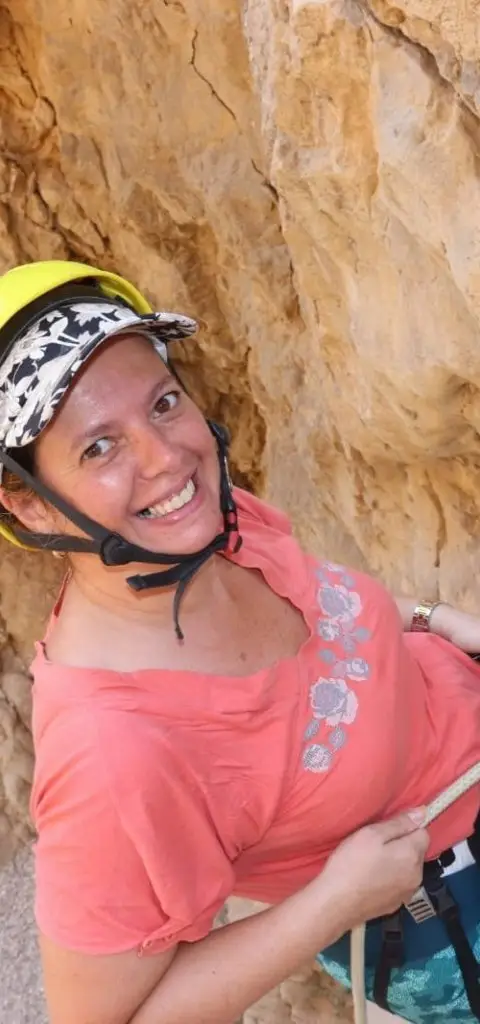
Photo: Community Ropes
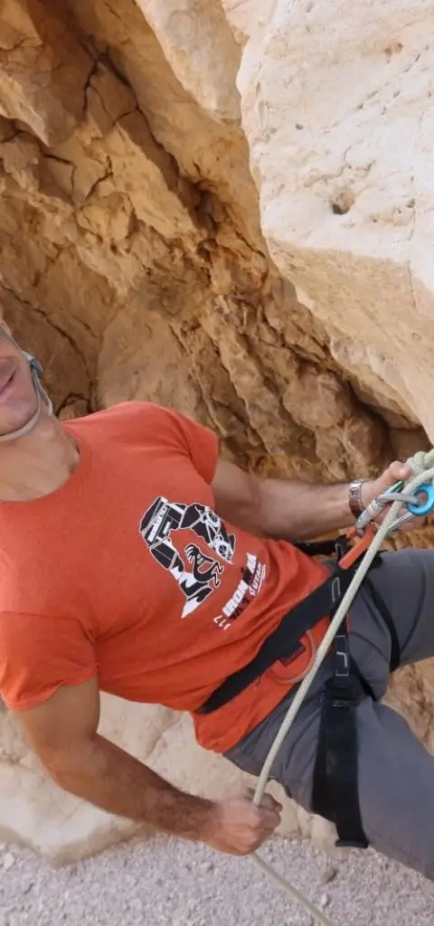
Photo: Community Ropes
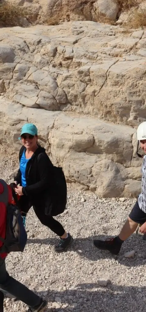
Photo: Community Ropes
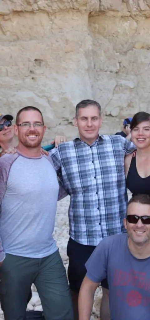
Photo: Community Ropes

Photo: Community Ropes



Data sources
The information on this page was collected from these sources.
- ropes.community
- ropes.community
- radius.co.il
- wikidata.orgLicense: CC BY-SA 4.0 (text), CC0 (Wikidata)
- openstreetmap.org© OpenStreetMap contributors, License: ODbL 1.0
- ashdotextreme.co.ilashdotextreme.co.il
- idan-na.co.ilidan-na.co.il
- Facts consulted in a Judean Desert guidebook (title pending)
External links
Comments on this site
General comments on the whole site. About one part? Use "Comments" next to its heading.
No comments here yet.