Note: closures and restrictions
מערת נמר אסורה לכניסה בחודשי החורף 1/11-31/3 בגלל תרדמת העטלפים
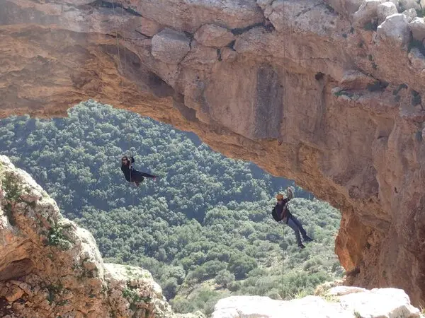
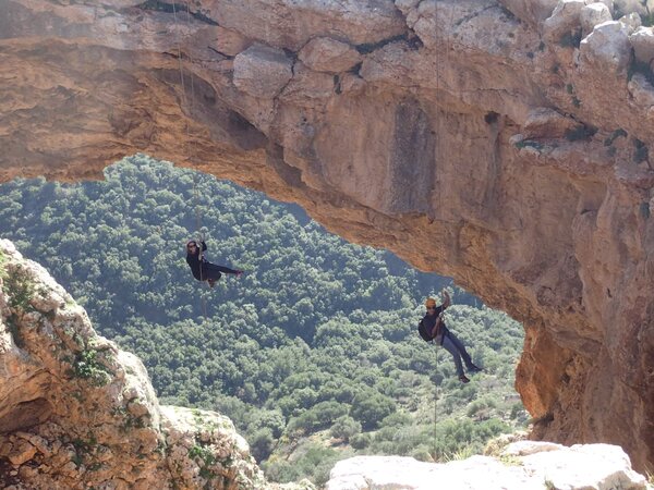
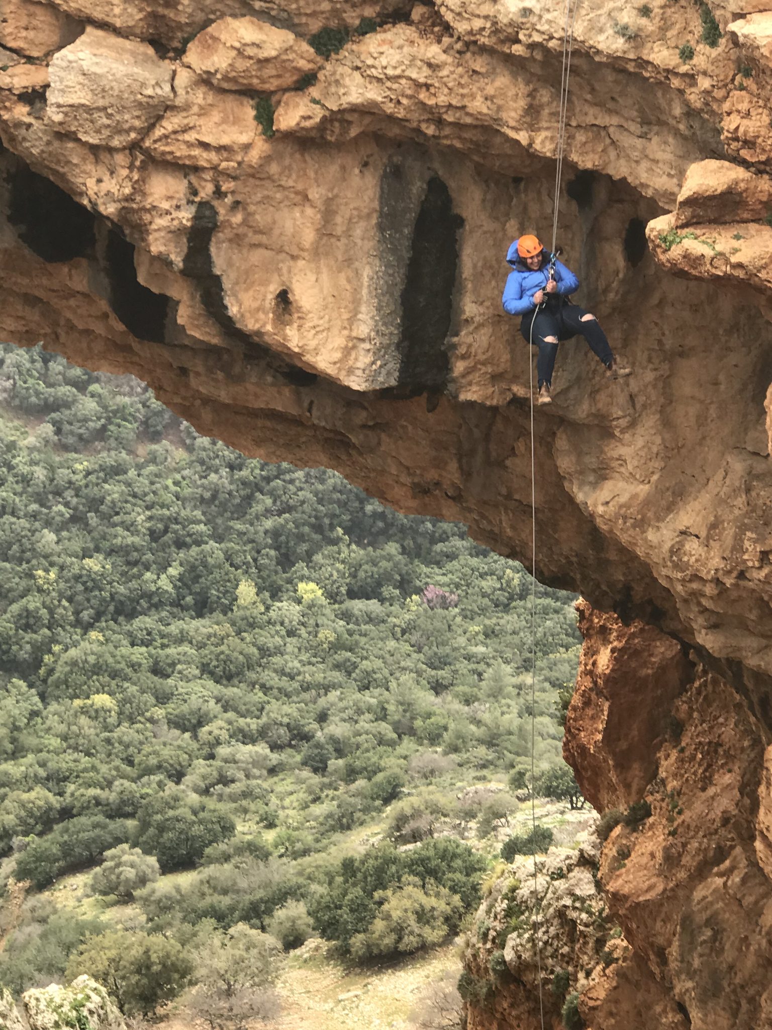
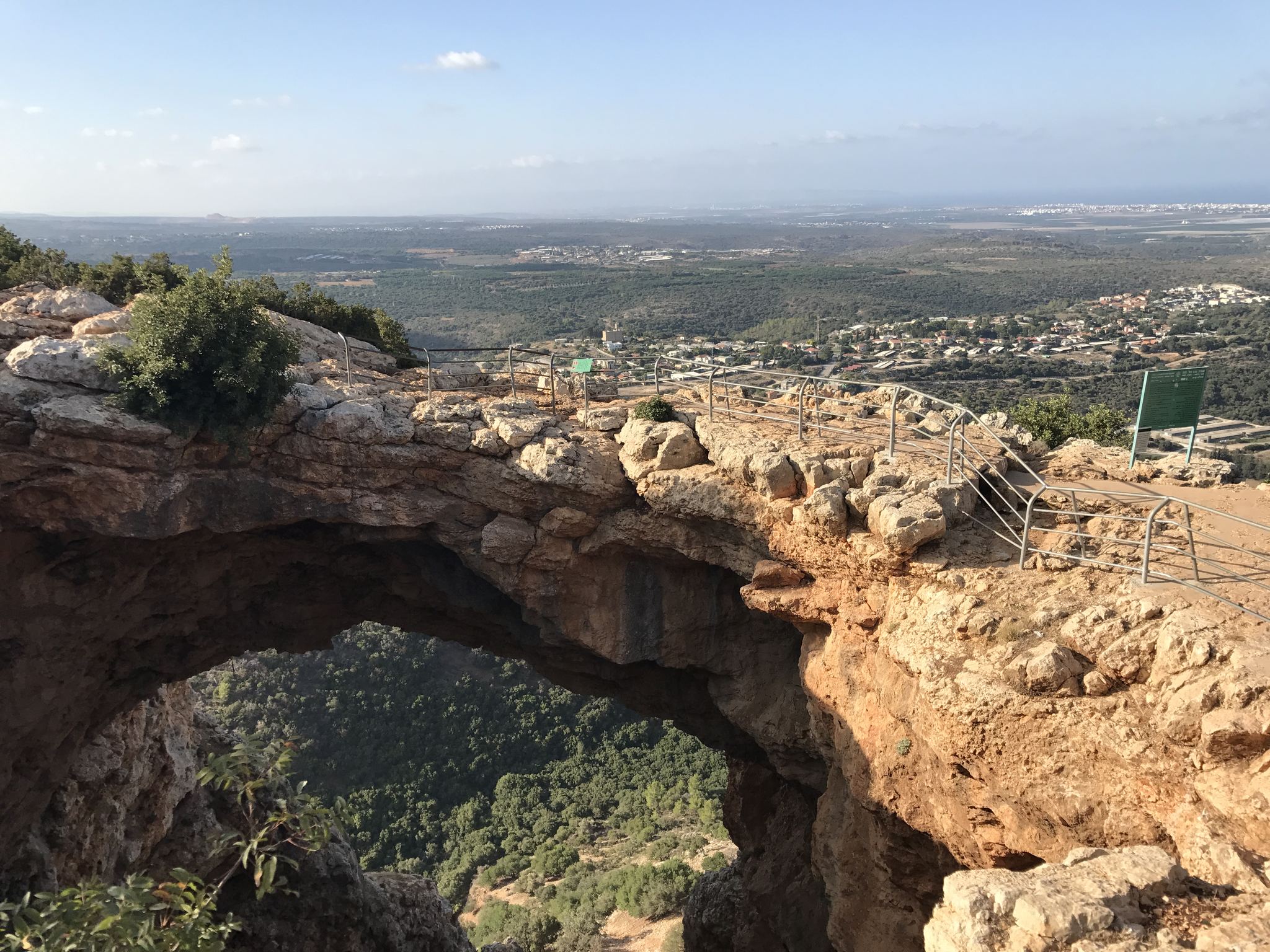
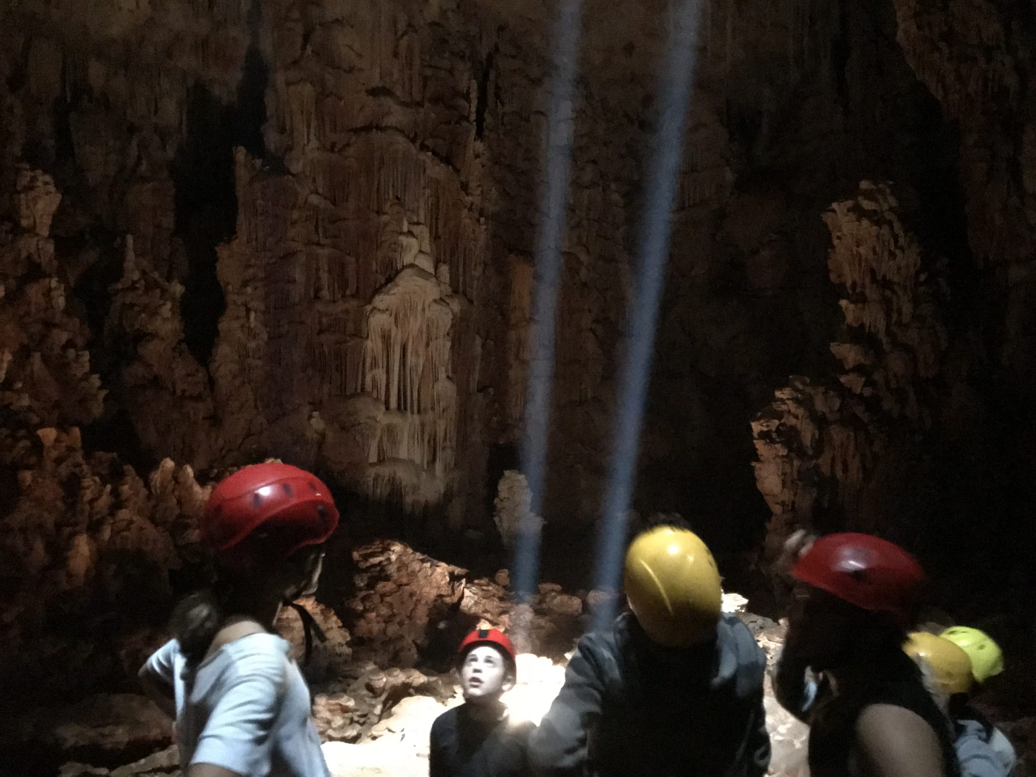
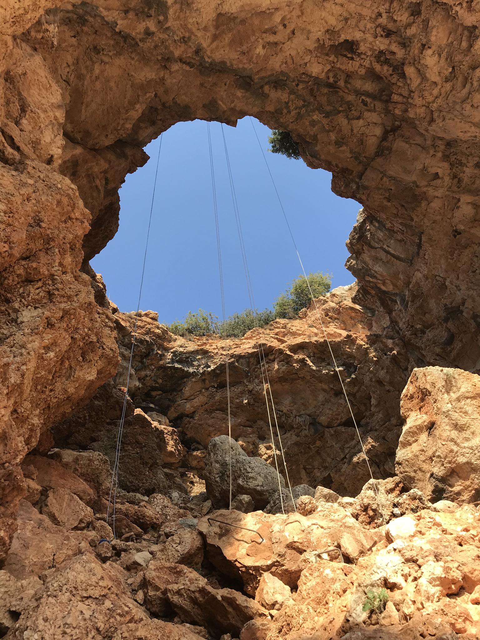
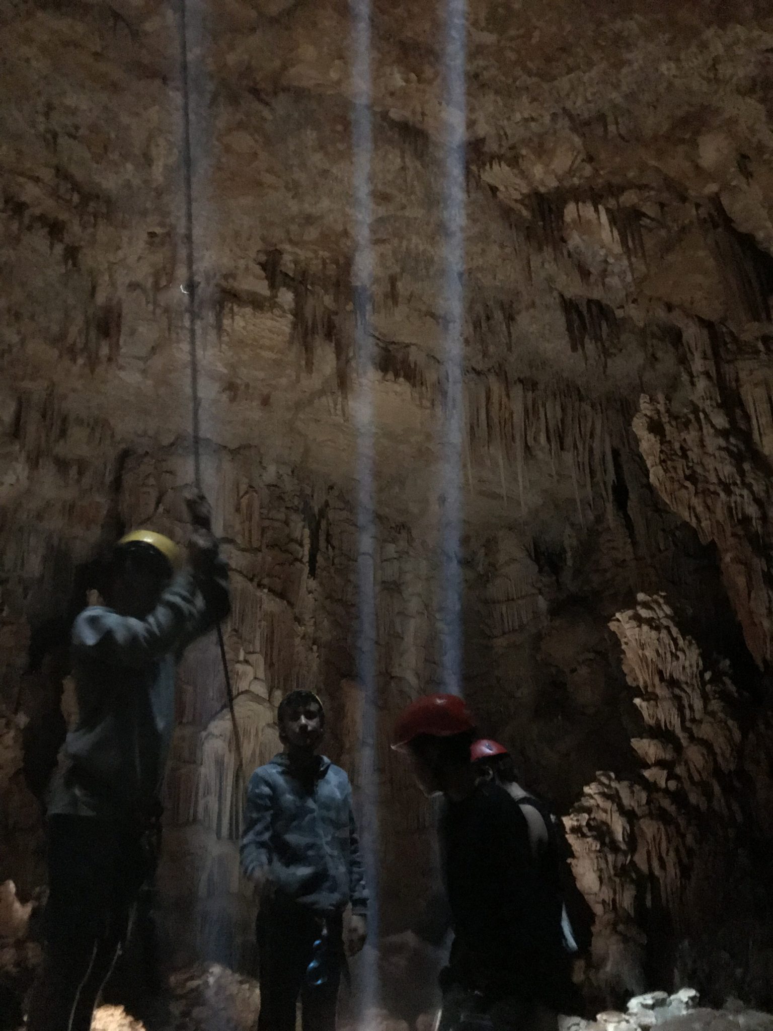
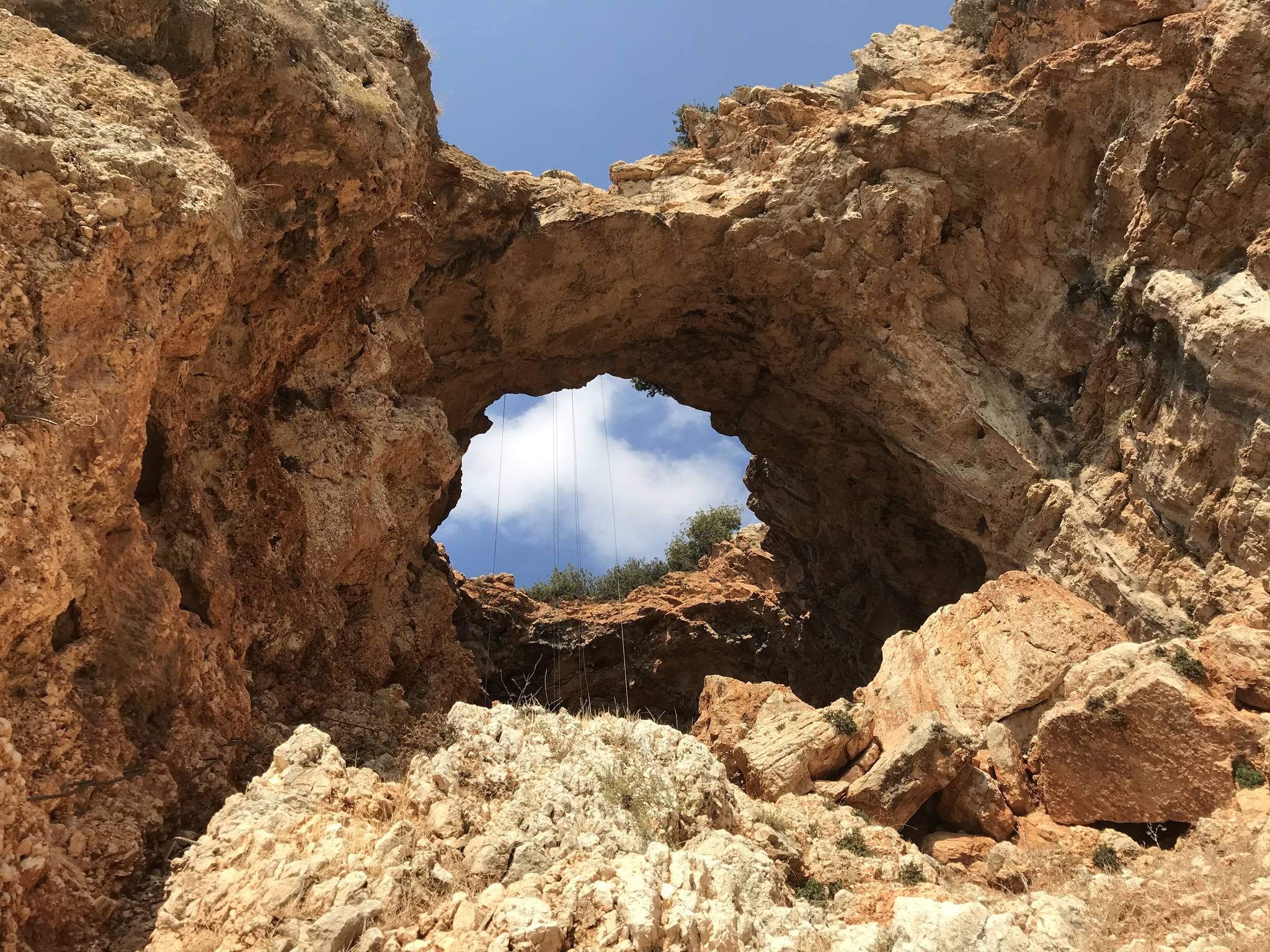
A rock arch in Adamit Park, Galilee, left by a collapsed cave roof, with a long rappel and an accessible path from the parking.
Also known as: Keshet cave, מערת קשתש, מערת נמר + סנפלינג במערת קשת
- Good for beginners
- Easy access
- Families
- Scenic
Information as of 12 Oct 2026
At a glance
- Duration
- 3 h
- Trail length
- 1.5 km
- Tallest rappel
- 30 m
- Number of rappel routes
- 1
- Rope needed
- 70 m
- Water
- Dry
- Circular route:
- Yes
Field reports
How much water there was and how it went, from people who were here. Every report is reviewed before it is published.
No reports from this place yet
Were you here lately? Tell us how much water there was and how it went. It helps the next group plan.
Meeting point (parking)
חניון פארק אדמית, ליד מערת קשת, כביש 8993
The meeting point is the parking spot. You continue on foot from here.
Coordinates: 33.07719, 35.19821
About
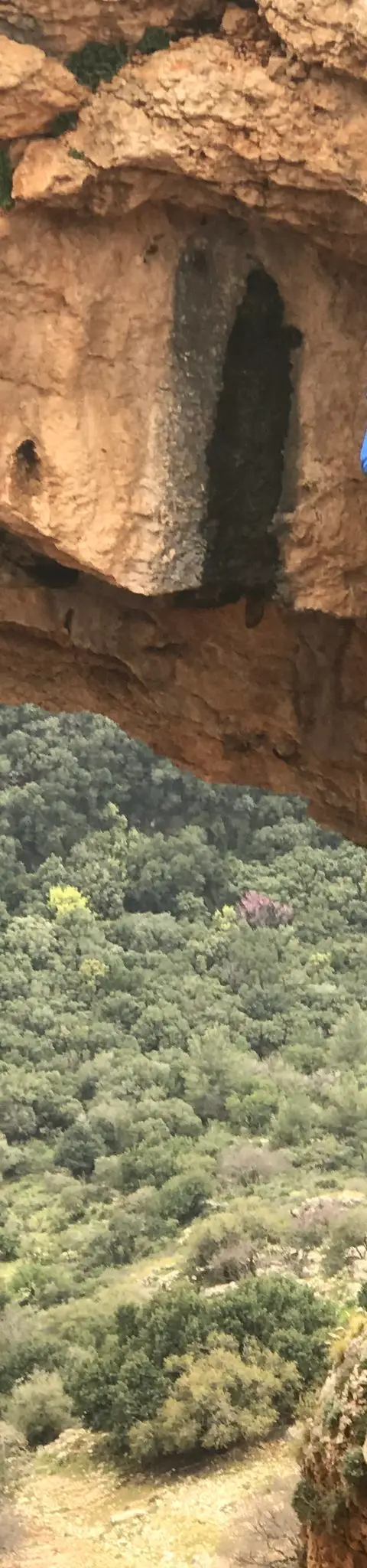
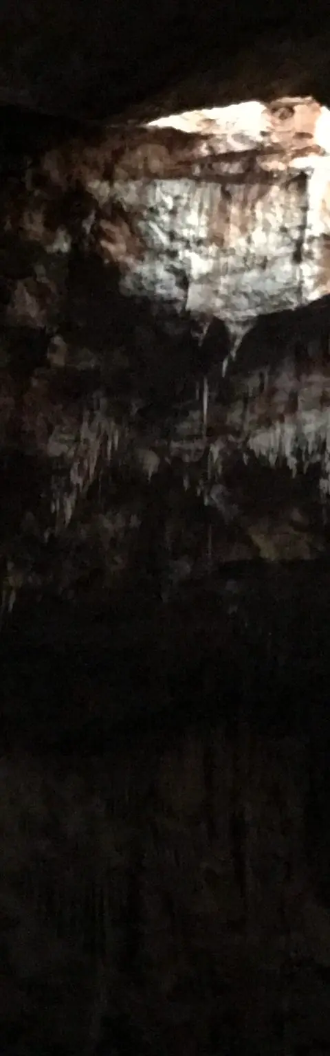
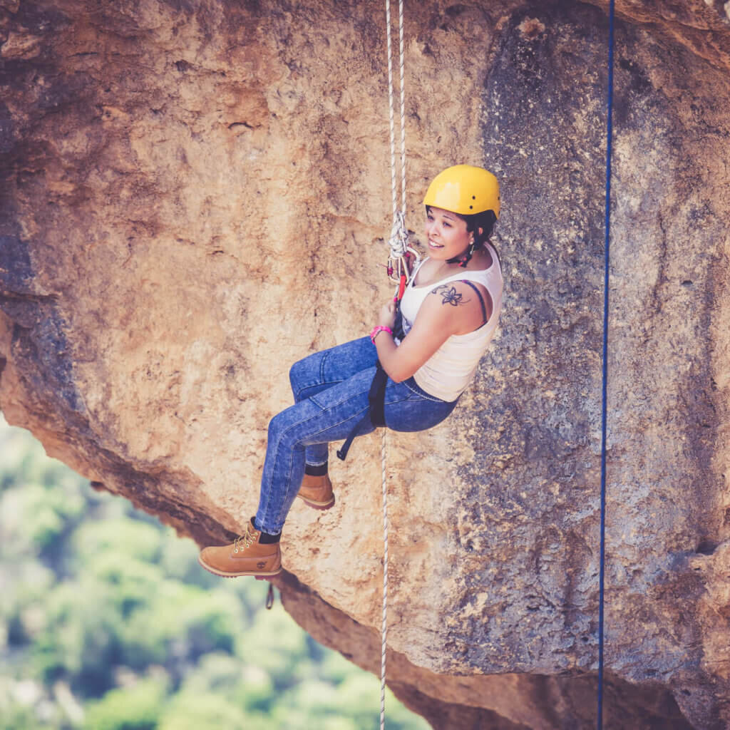
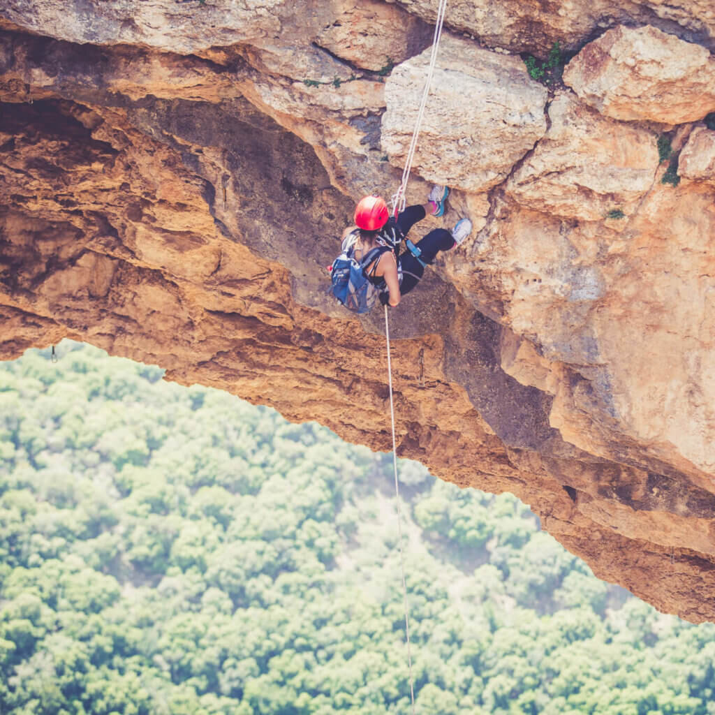
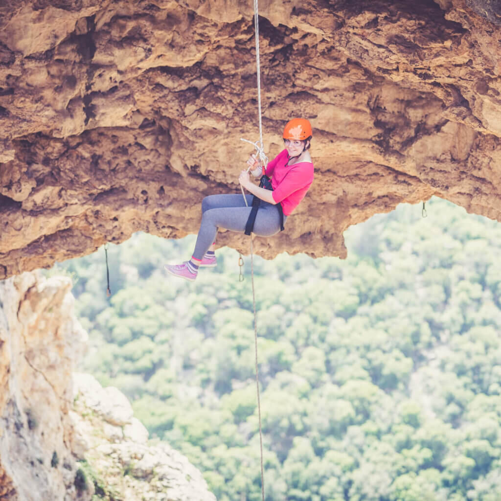
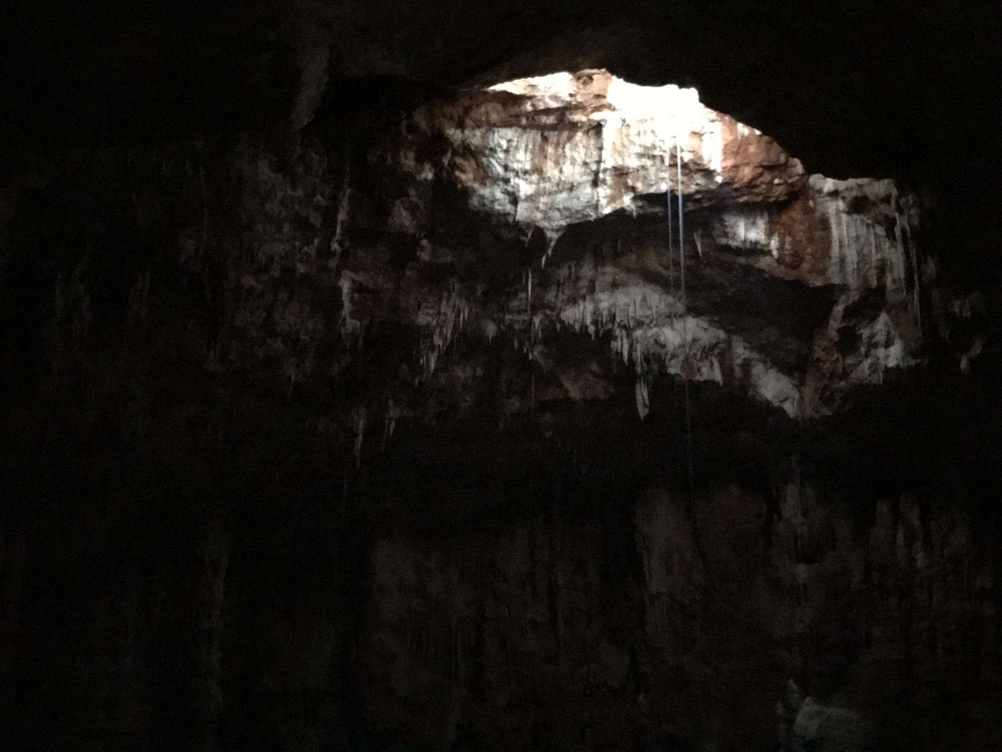
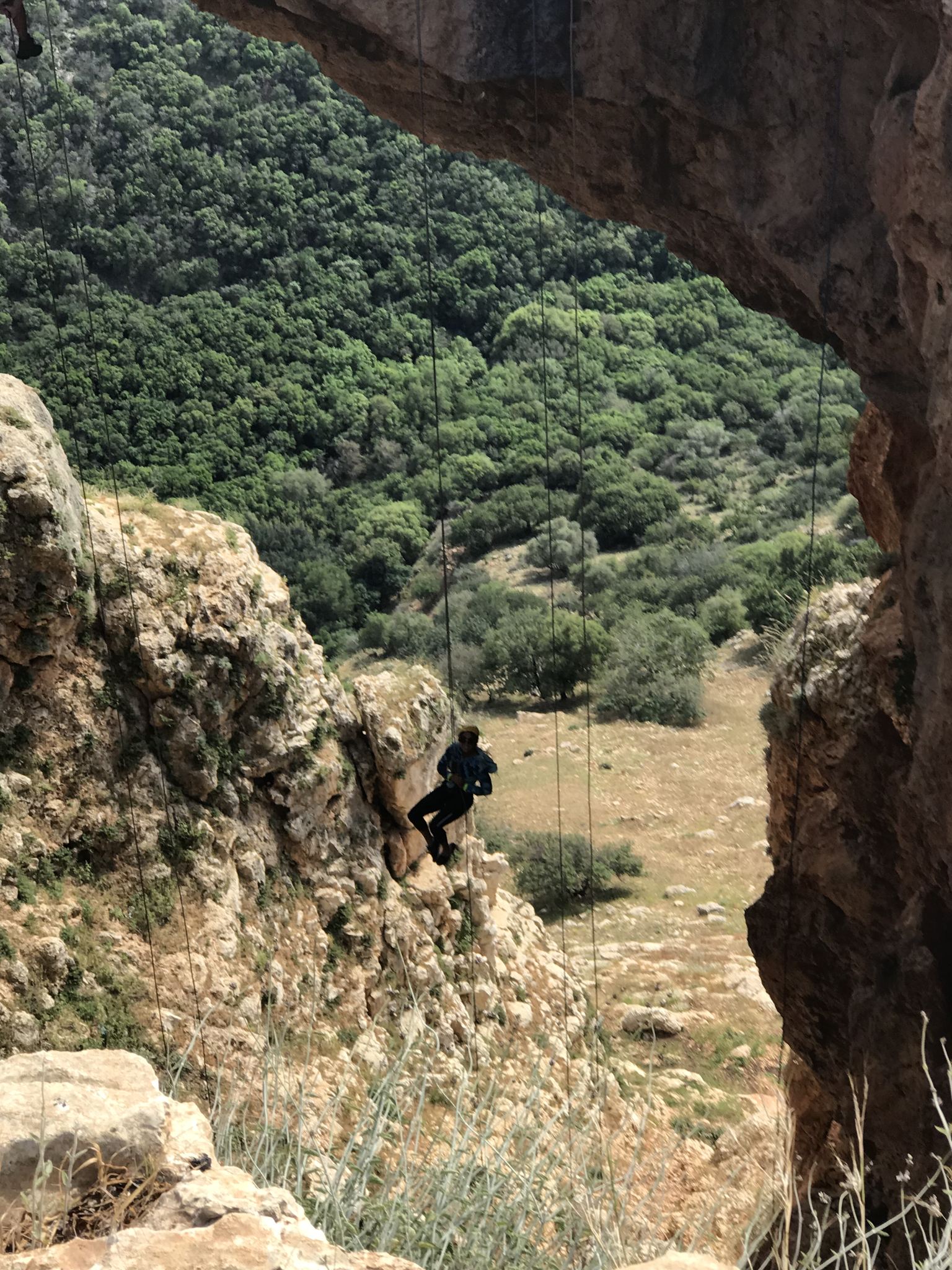
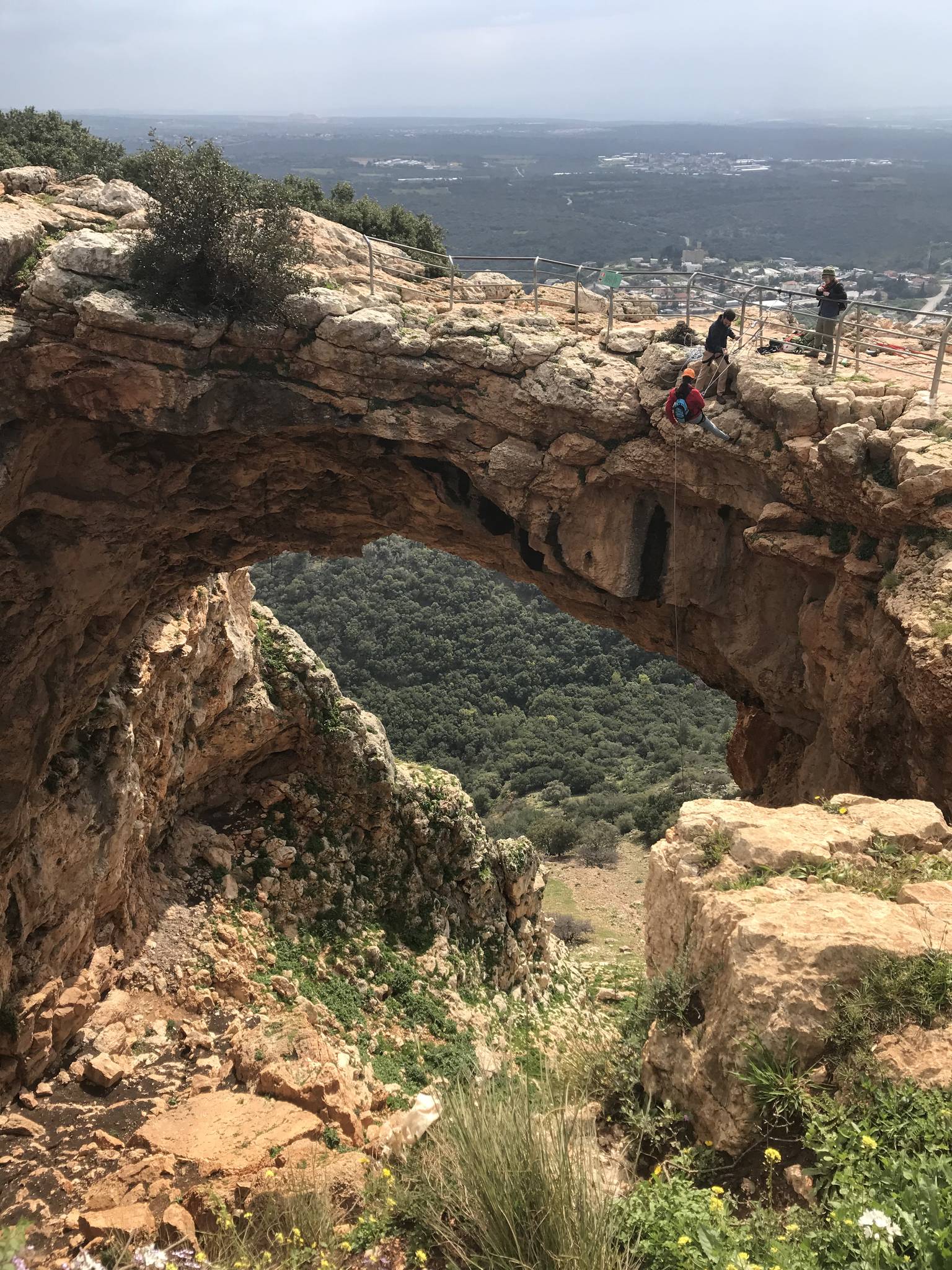
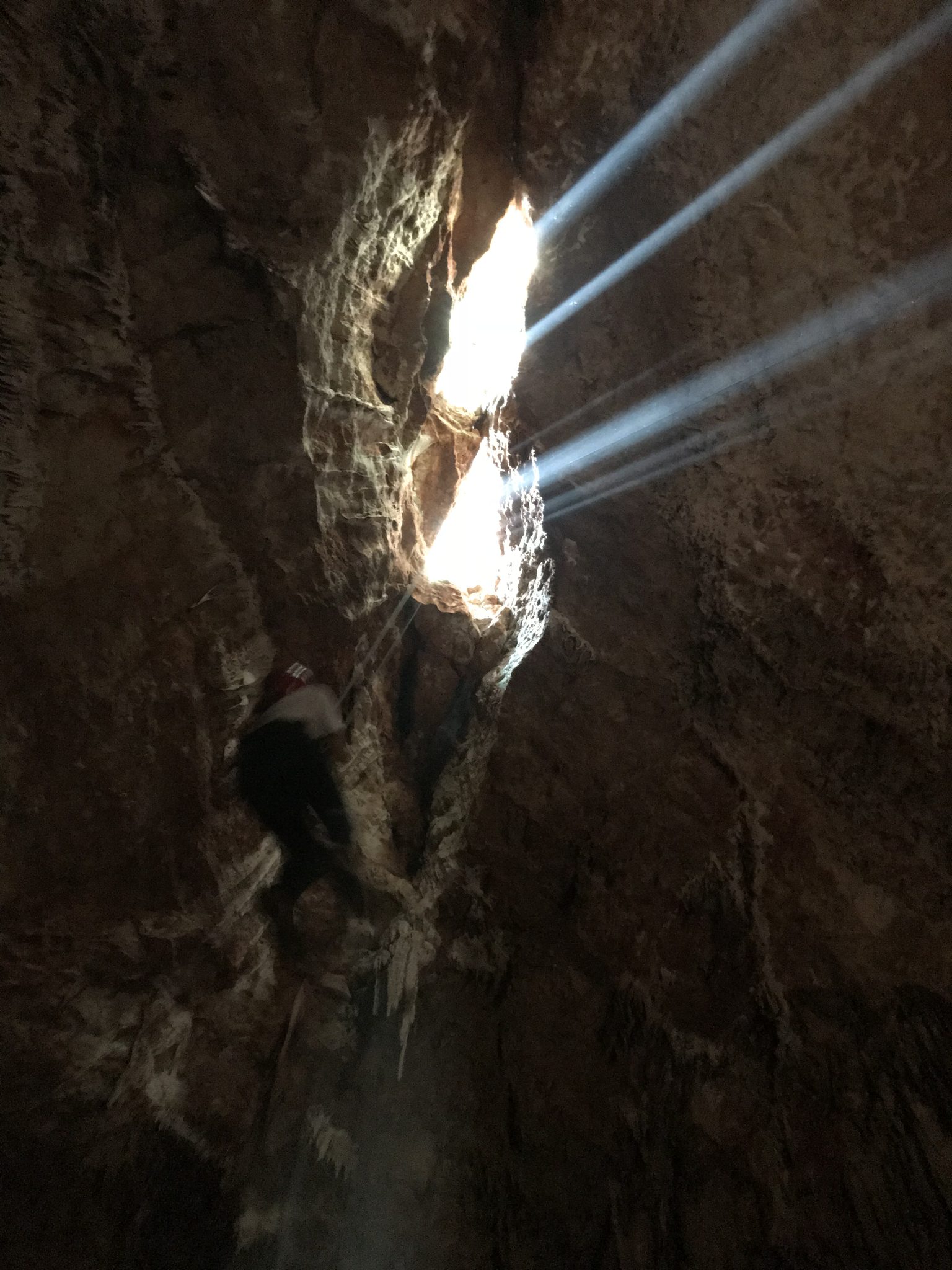
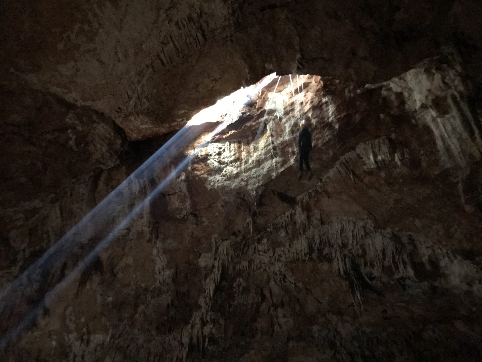
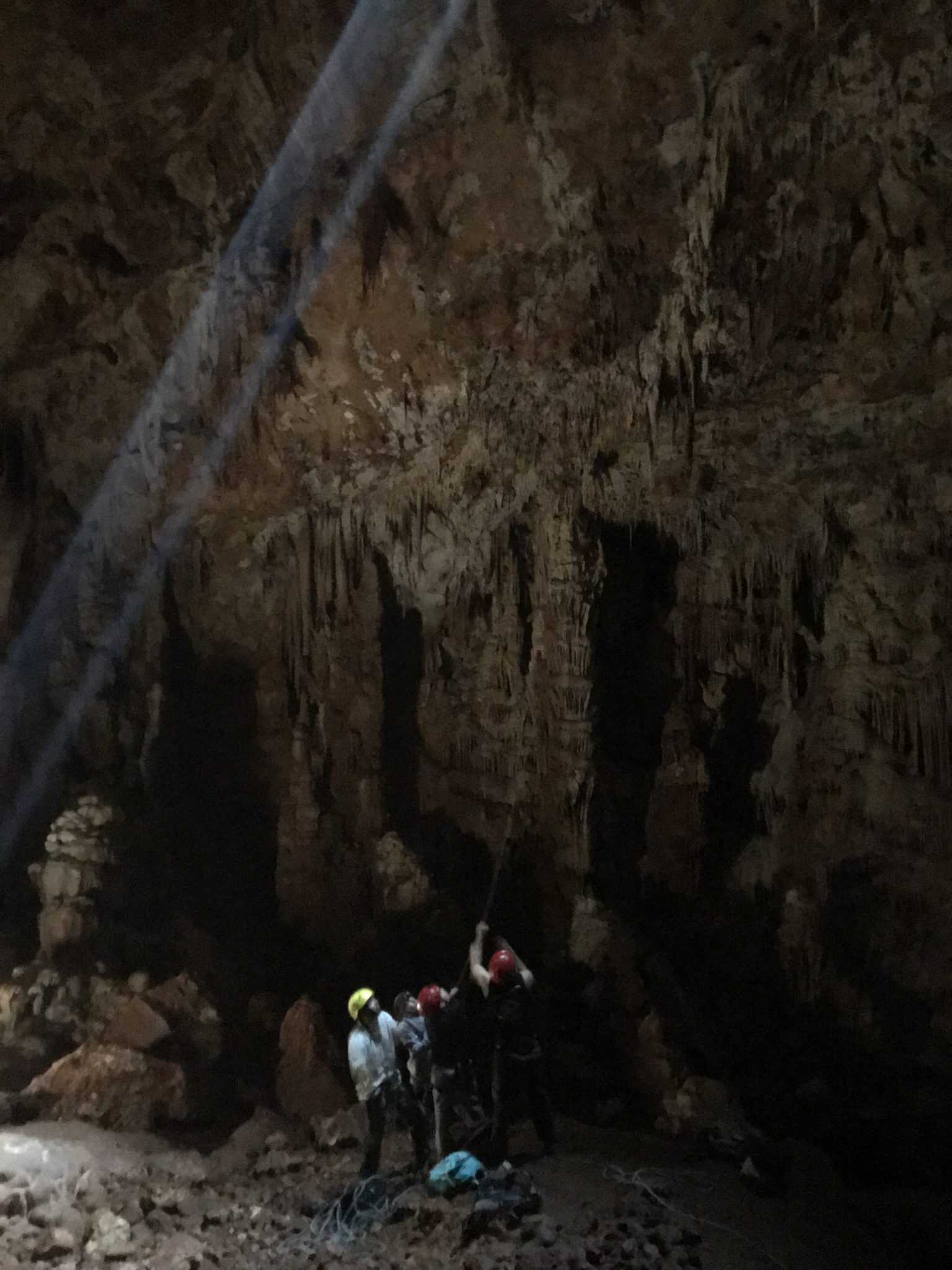
Me'arat Keshet (Keshet Cave) is in Adamit Park, high on the Sulam ridge. Part of the cave roof collapsed, leaving a large stone arch with a wide view to the Galilee coast and, on clear days, to the Carmel. Rappelling here is approved.
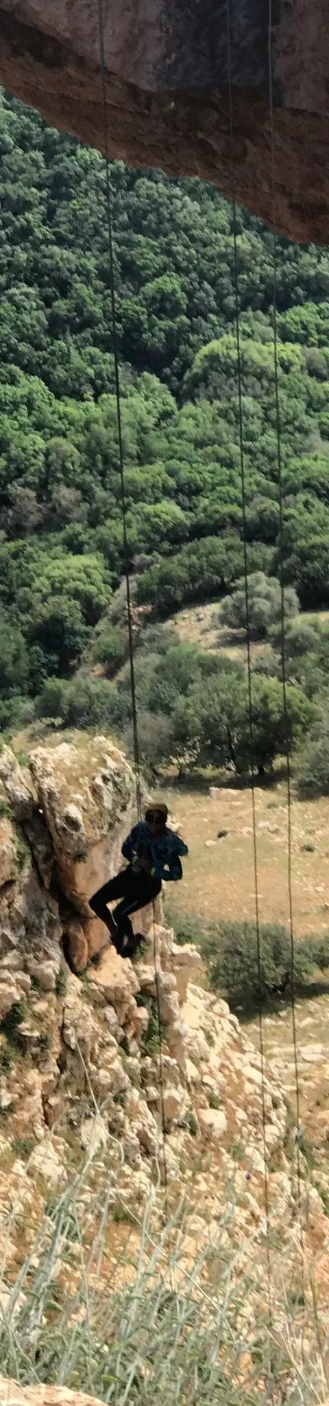
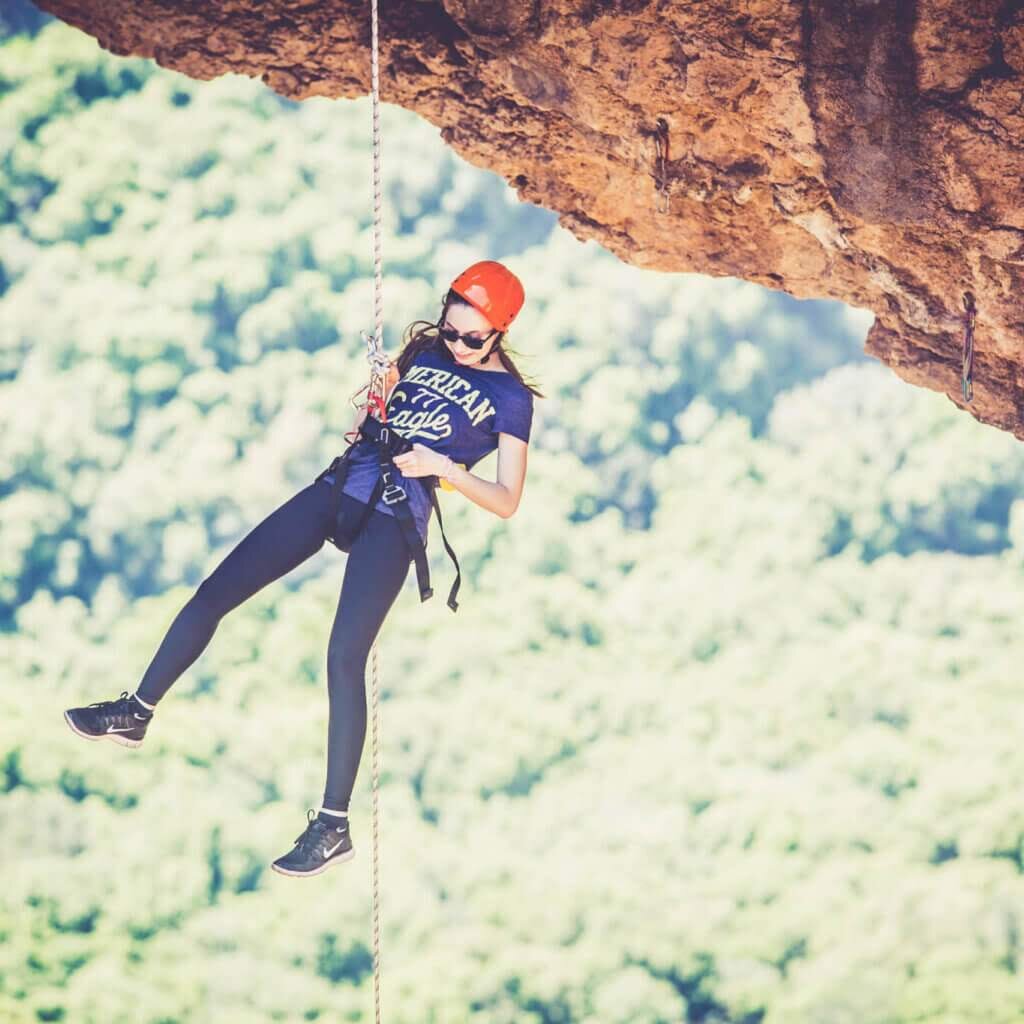
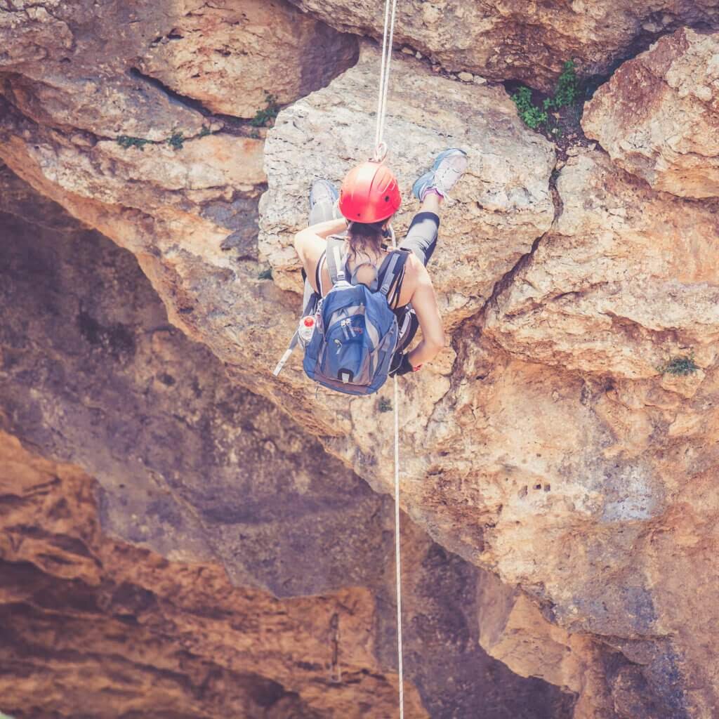
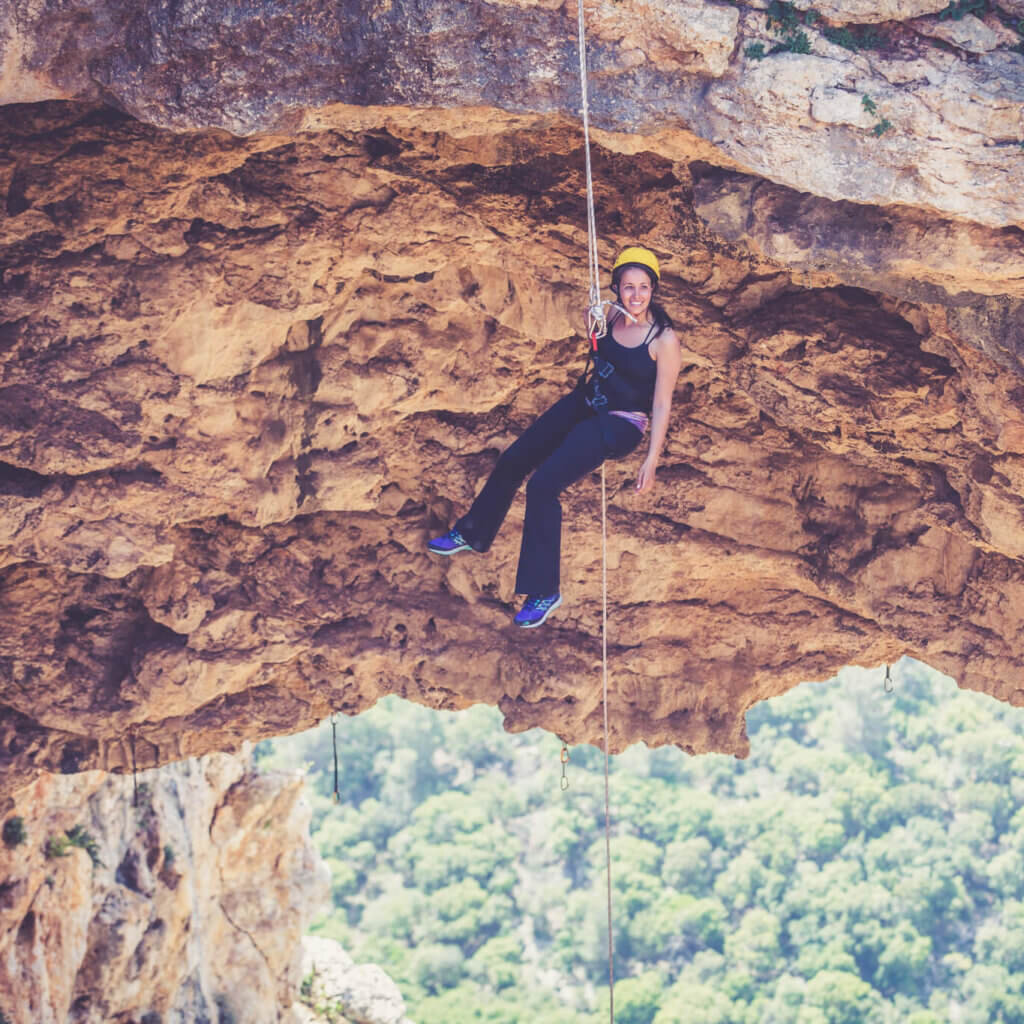
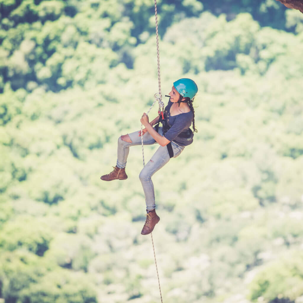
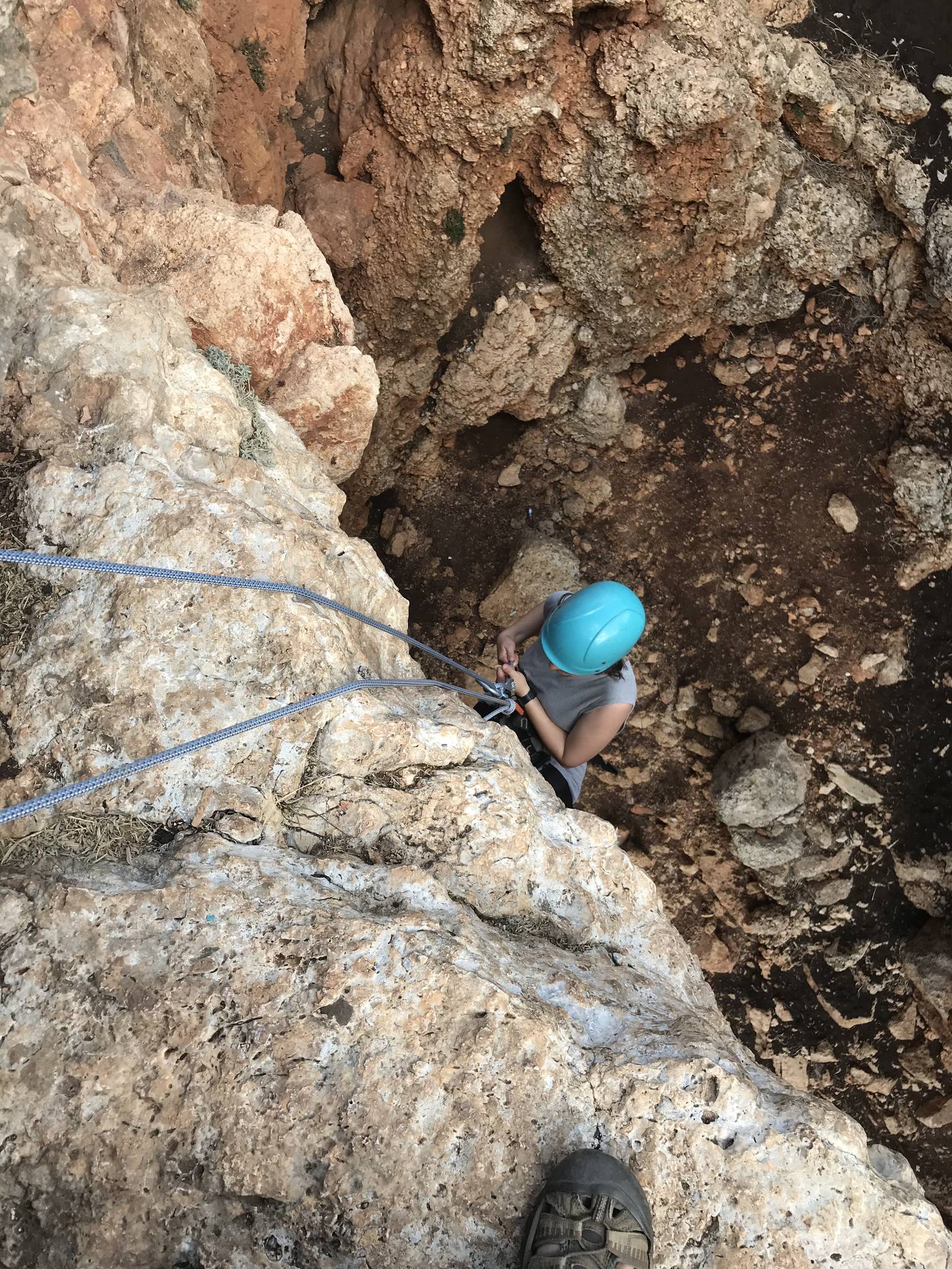
You rappel from the arch itself, from both sides of the cave and from a few more points along the sides. The rappels are long, so they need a long rope and good control, but the overall difficulty is easy to moderate.
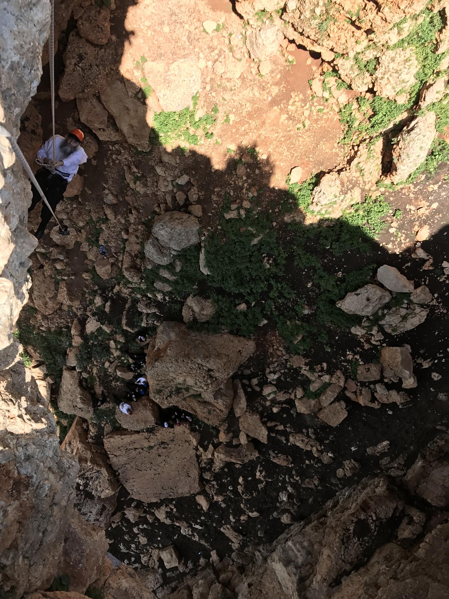
From the parking to the top of the arch there is a paved, accessible path, suitable even for wheelchairs. The way back up from the bottom, on the black-marked trail, is long and covered in scree, and runs below the cliff for most of the way.
Getting there
איך מגיעים? מחניון מערת הקשת הולכים על שביל בטון מסודר אשר מונגש גם לנכים. הכביש יורד בפיתולים ומגיע ממש עד לפתח המערה. זמן ההגעה מחניון הרכבים ועד לפתח המערה כ-5 דק׳.
Access notes
Set Waze to 'מערת קשת' and you reach a large asphalt parking lot. From there a paved, accessible path leads to the cave. The climb back after the rappel follows the black-marked trail, long and scree-covered, with cables along it that you can clip in to.
Parking
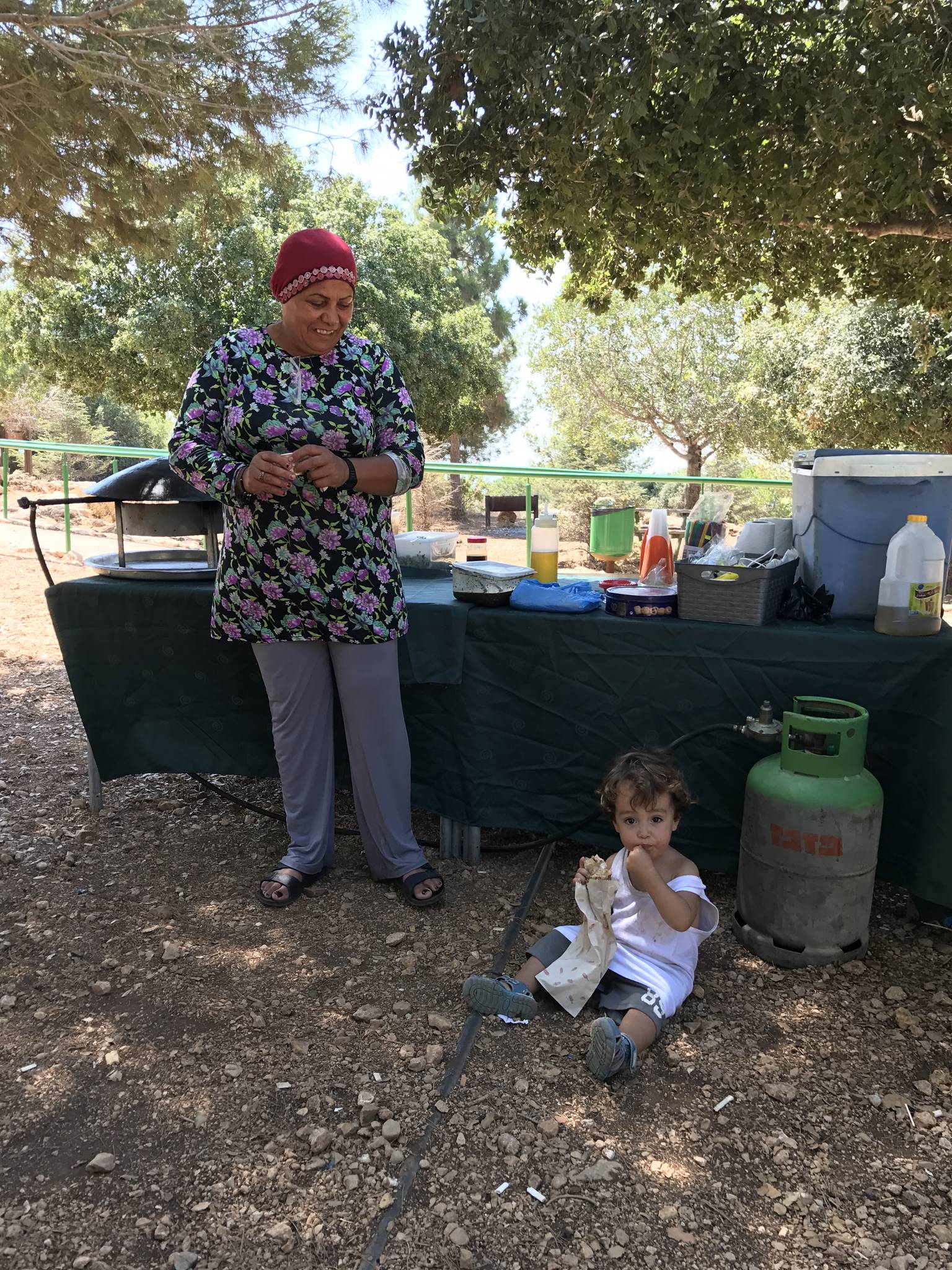
A large, organized asphalt lot with KKL tables, toilets, water taps, bins and plenty of shade. It works as a day-use area too.
Difficulty and suitability
- Difficulty
- Moderate
- Good for beginners
- Yes
- Minimum age
- From age 10
- Recommended group size
- Up to 25 people
- Typical duration
- 3 h
- Hiking distance
- 1.5 km
- Elevation gain
- 100 m
- Water activity
- No
- Route type
- Cliff
Descent profile
Scroll sideways for details
Rappel routes(1)
| # | Name | Height | Obstacle | Profile | Landing | Anchor | Bolts and stations | Rope | From previous | Details |
|---|---|---|---|---|---|---|---|---|---|---|
| 1 | Updated 12 Oct 2026 | Height: 30 mOther source: 40 m (sharloetgarim.co.il, 2026)Other source: 50 m (bashetach.co.il, 2022)Other source: 50 m (rybakian.com, 2019) | Waterfall / rappel | – | – | – | – | 70 m | – | |
| ||||||||||
When to go
- January
- February
- March
- April
- May
- June
- JulyBest
- AugustBest
- September
- October
- November
- December
- Best
Water: כותבים בוויז 'מערת קשת' תגיעו לחנית אספלט גדולה ומסודרת, יש שם שולחנות קק"ל, שירותים, הרבה צל, ברזי מים, פחים ואחלה של חניון יום.
Seasons
Points on the map
- ParkingPrimary
33.07719, 35.19821
- Meeting pointחניון פארק אדמית, ליד מערת קשת, כביש 8993
33.07694, 35.19611
- Siteמערת קשת
33.07653, 35.19503
Safety
The climb back from the bottom is on scree and runs below the cliff, so helmets stay on until you are back at the top. Clip in to the cables along the trail. The Israel Nature and Parks Authority sets a minimum age for participants.
Weather constraints
פתוח כל השנה למעט בזמן התרעות שיטפון. האביב והסתיו מציעים את תנאי מזג האוויר הנוחים ביותר.
Recommendations
Suits families and beginners with an experienced team, and groups that want a long, impressive rappel without an approach hike. The well-equipped parking makes for an easy family day. The recommended season is summer.
Equipment
A long rope for the long rappels, and a harness and helmet for each participant. For the trail back up: a pair of slings with carabiners or rings to clip in to the cables.
Photos
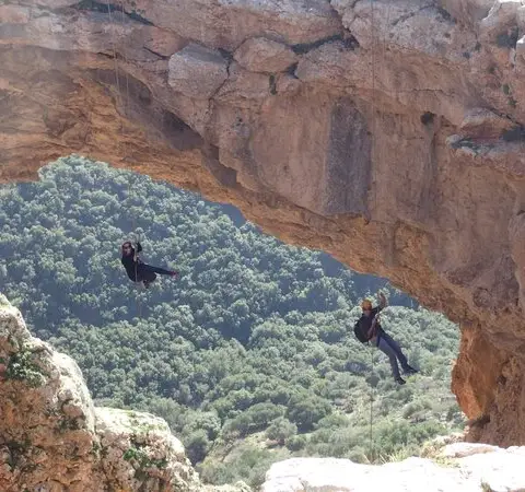
Photo: Community Ropes
Photo: ropes.community
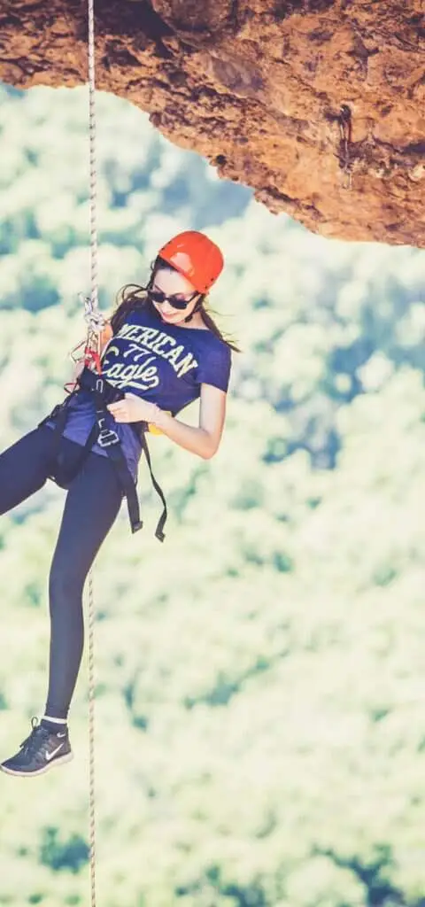
Photo: Community Ropes
Photo: ropes.community
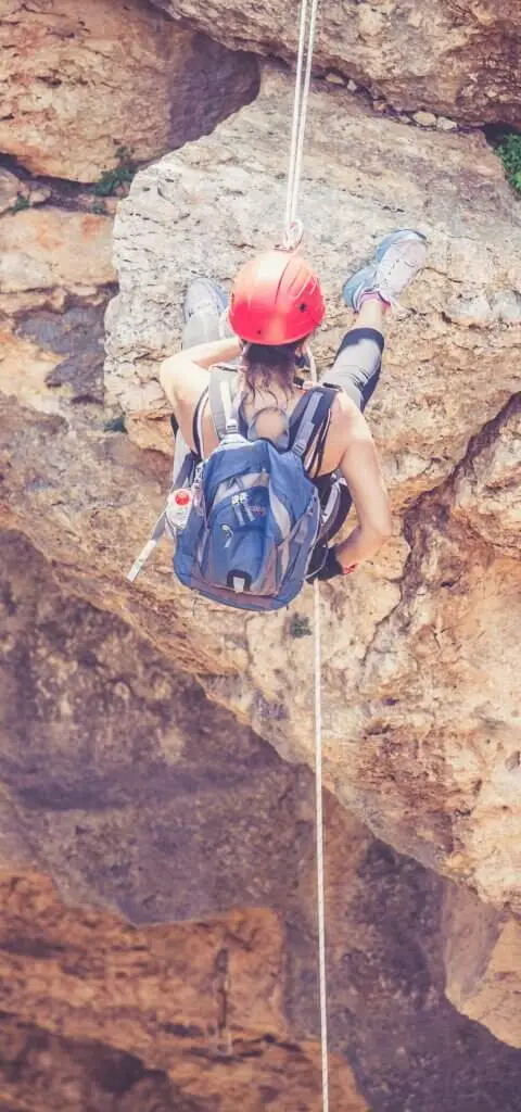
Photo: Community Ropes
Photo: ropes.community
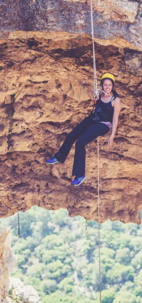
Photo: ropes.community
Photo: Community Ropes
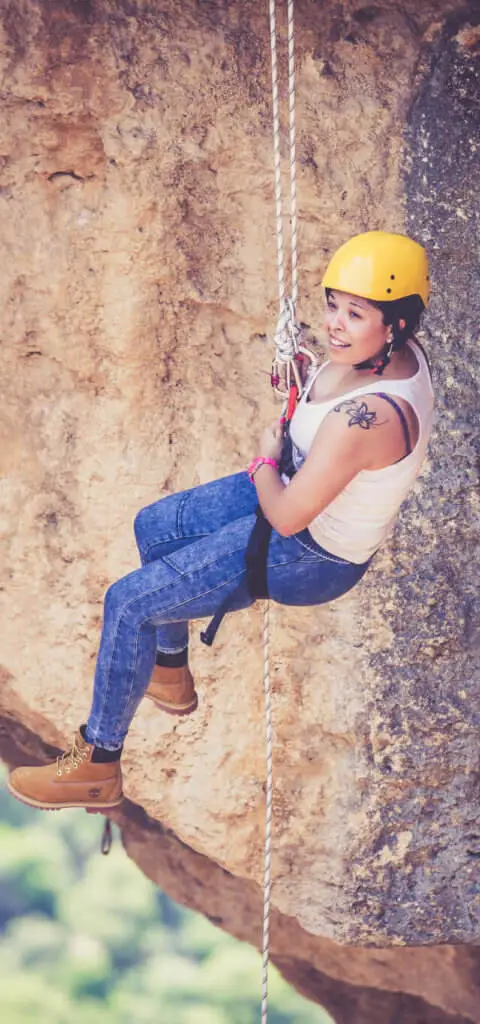
Photo: ropes.community
Photo: Community Ropes
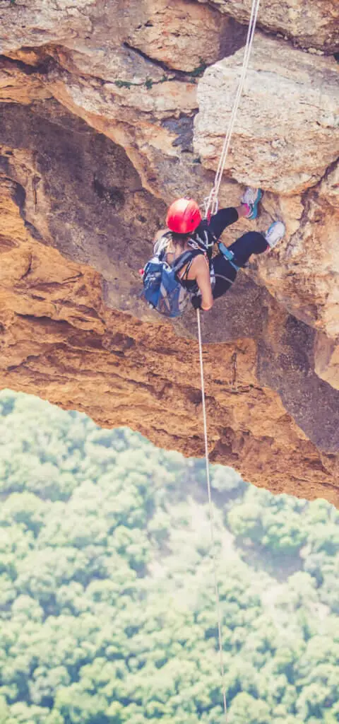
Photo: Community Ropes
Photo: ropes.community
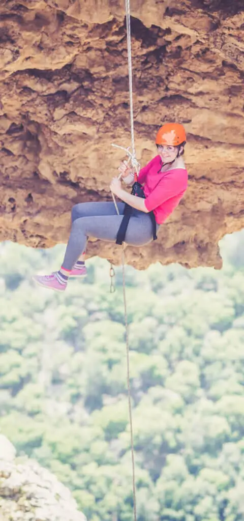
Photo: Community Ropes
Photo: ropes.community
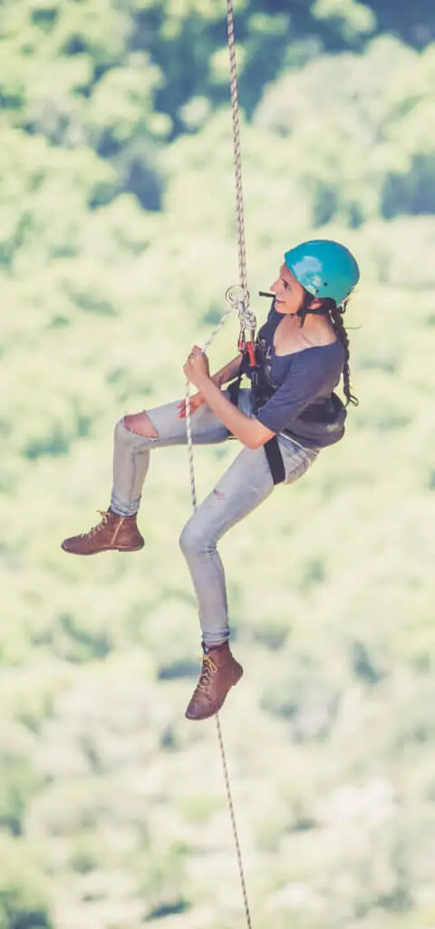
Photo: ropes.community
Photo: Community Ropes
מערת קשת, מרץ 2019 Photo: נדב כהן
מערת קשת, אפריל 2018 Photo: נדב כהן
מערת קשת, אפריל 2018 Photo: נדב כהן
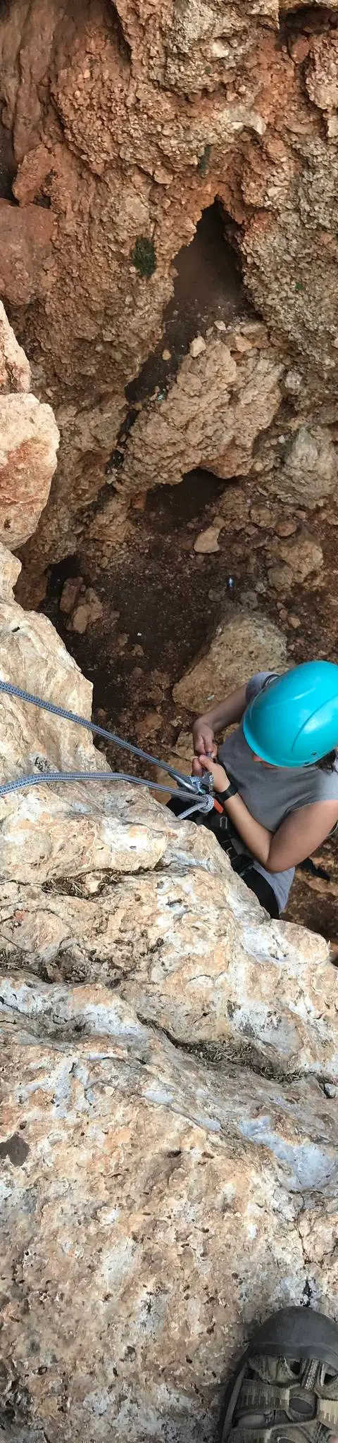
מערת קשת, אוקטובר 2017 Photo: נדב כהן
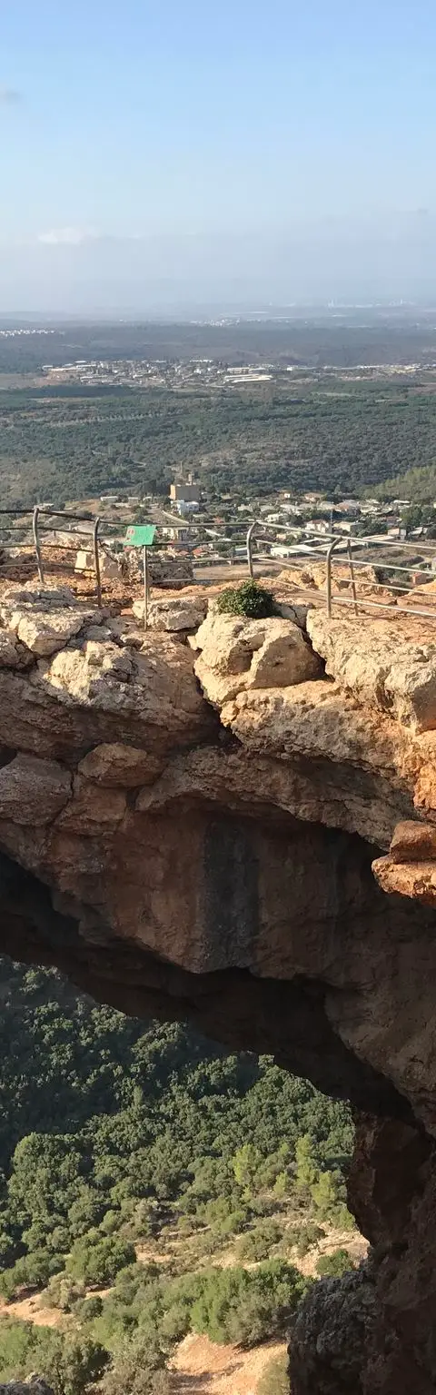
מערת קשת, אוקטובר 2017 Photo: נדב כהן
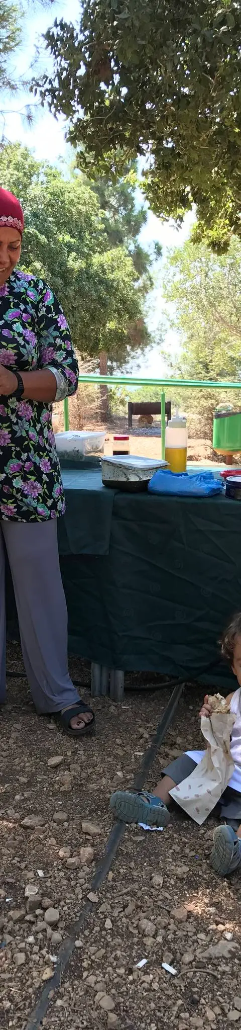
מערת קשת, אוגוסט 2017 Photo: נדב כהן
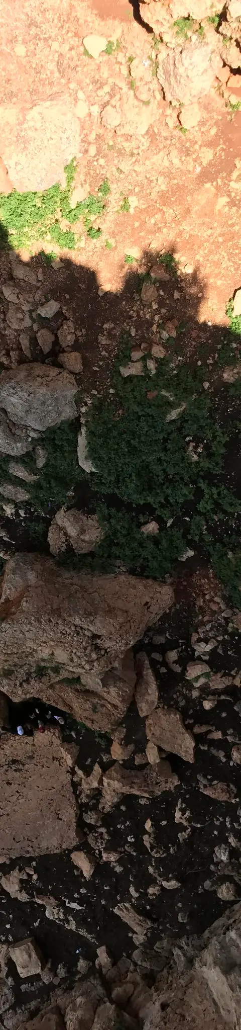
מערת קשת, אפריל 2017 Photo: נדב כהן
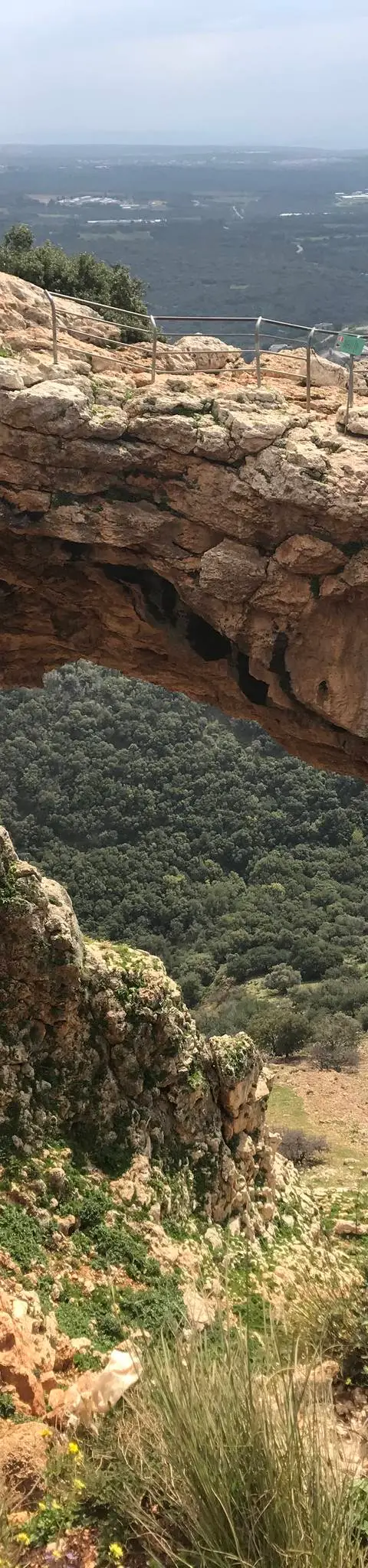
מערת קשת, מרץ 2019 Photo: נדב כהן
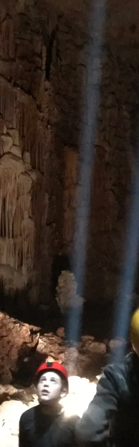
מערת קשת, אפריל 2018 Photo: נדב כהן
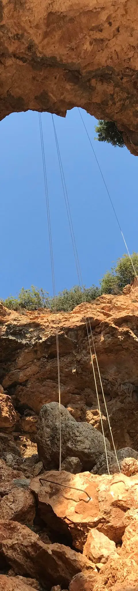
מערת קשת, אוקטובר 2017 Photo: נדב כהן
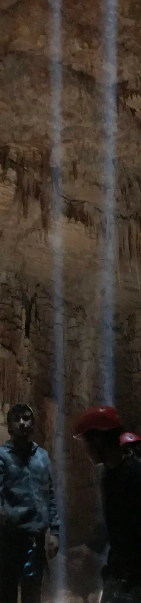
מערת קשת, אפריל 2018 Photo: נדב כהן
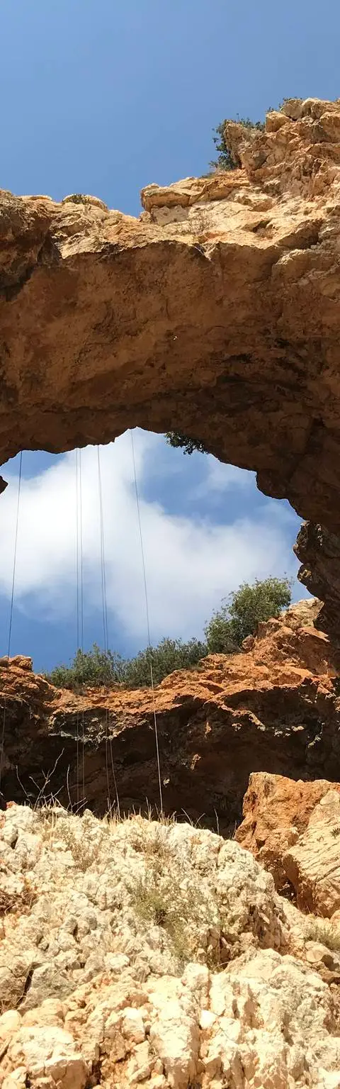
מערת קשת, אוקטובר 2017 Photo: נדב כהן
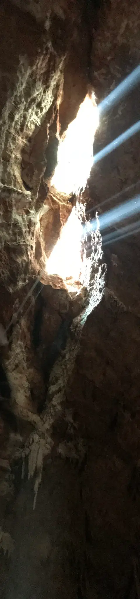
מערת קשת, אפריל 2018 Photo: נדב כהן
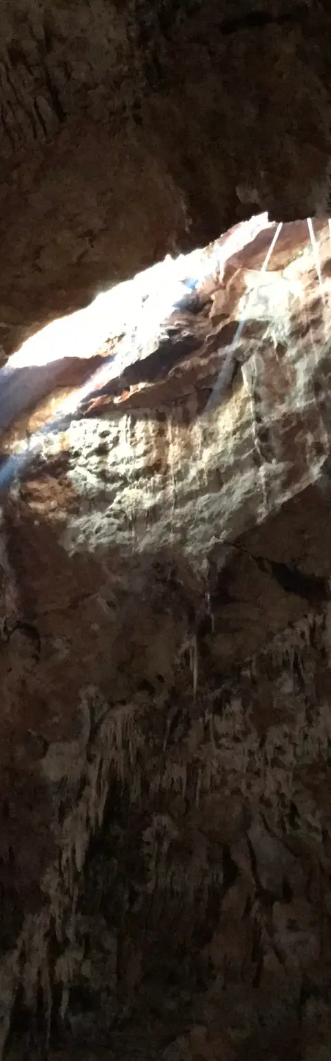
מערת קשת, אפריל 2018 Photo: נדב כהן
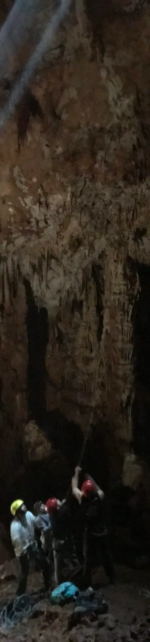
מערת קשת, אפריל 2018 Photo: נדב כהן
Data sources
The information on this page was collected from these sources.
- bashetach.co.ilbashetach.co.il, License: all rights reserved (blog content)
- sharloetgarim.co.il
- ropes.community
- radius.co.il
- wikidata.orgLicense: CC BY-SA 4.0 (text), CC0 (Wikidata)
- openstreetmap.org© OpenStreetMap contributors, License: ODbL 1.0
- canaan-canyoning.xyzcanaan-canyoning.xyz
- rybakian.comIan Rybak, rybakian.com. dateConfidence: low (bulk resave stamp 2019-11-20; real information date unknown, not later than that), License: unknown; personal site, no licence stated
External links
Comments on this site
General comments on the whole site. About one part? Use "Comments" next to its heading.
No comments here yet.