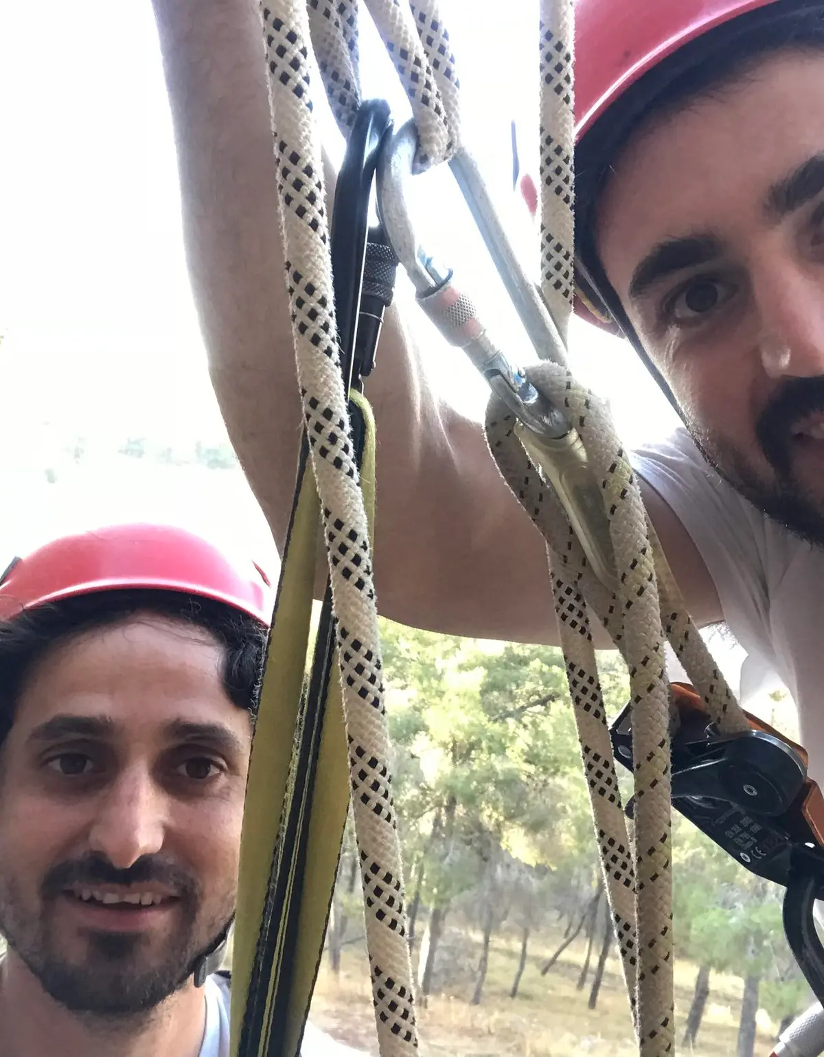
A wooded, shaded cliff on Mount Gilboa above the Harod Valley, with short access and many natural anchors, suited to beginners and young children.
Also known as: המצוק הנעלם
- Good for beginners
- Families
- gilboa
- Kids
- Scenic
- Shaded
Information as of 30 Sept 2023
At a glance
- Duration
- 2 h
- Trail length
- 700 m
- Tallest rappel
- 20 m
- Number of rappel routes
- 1
- Rope needed
- 50 m
- Water
- Dry
- To the first rappel:
- 600 m
Field reports
How much water there was and how it went, from people who were here. Every report is reviewed before it is published.
No reports from this place yet
Were you here lately? Tell us how much water there was and how it went. It helps the next group plan.
Meeting point (parking)
חניית מצוק גפת, דרך נוף גלבוע, בין מעלה גלבוע לגן נר
The meeting point is the parking spot. You continue on foot from here.
Coordinates: 32.49786, 35.41325
About
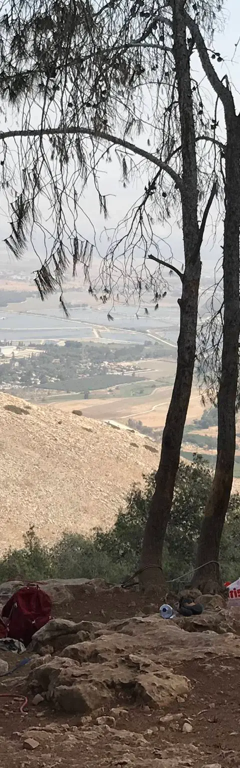
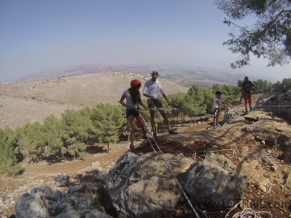
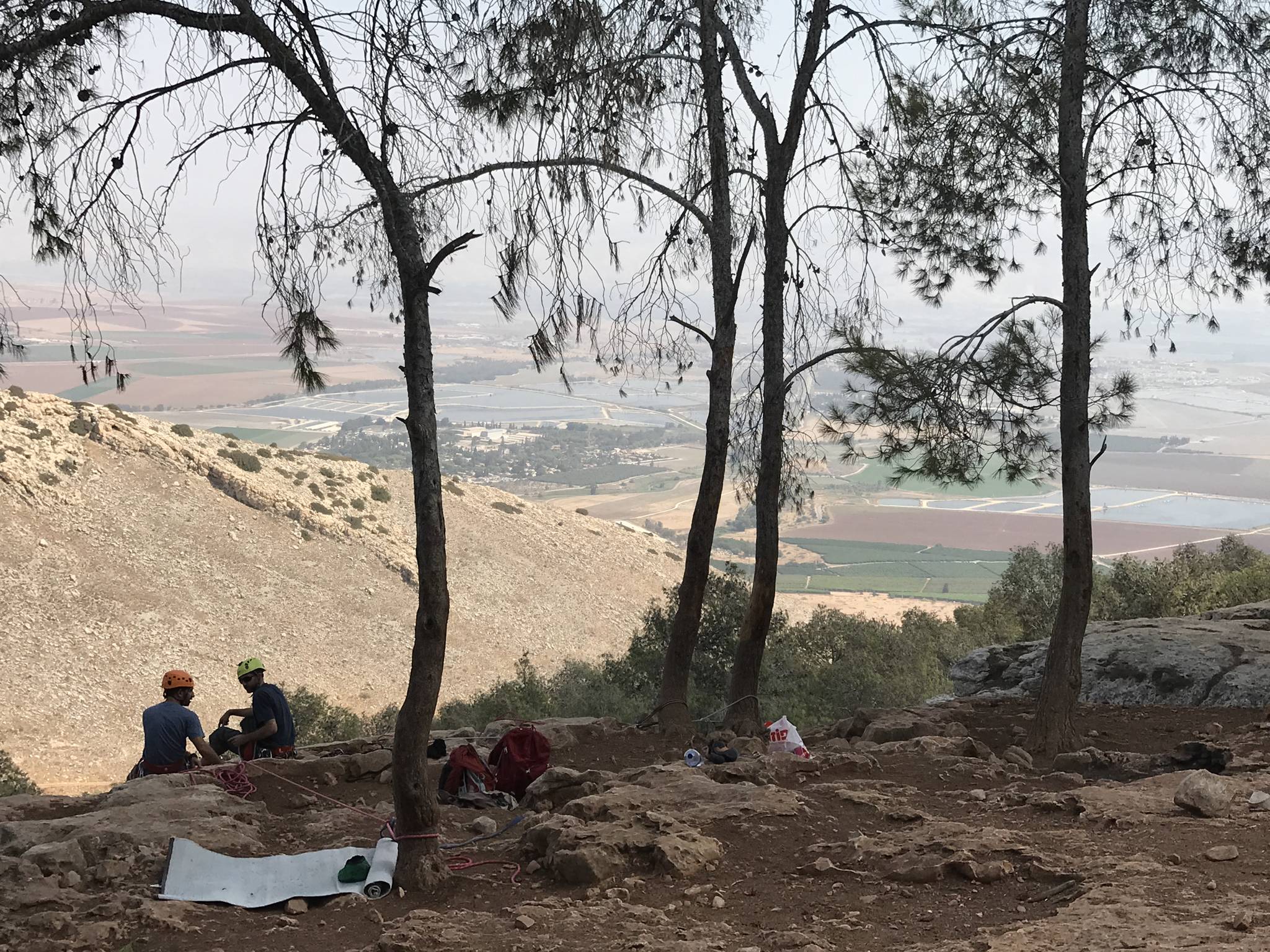
Metzuk Gafet (Gafet Cliff), also called 'the hidden cliff', is beside the Gilboa scenic road, between Ma'ale Gilboa and Gan Ner. It is wooded and shaded all day, with an open view over the Harod Valley and the fields and kibbutzim below.
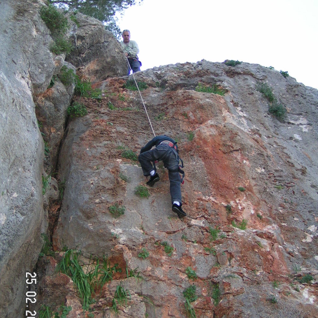
It is a mid-height cliff with plenty of natural anchors on trees and rocks, so several rappel lines can run side by side. It works for independent rappels, belayed rappels and lowering children, and for climbing too, from cracks to vertical face.
Access is short. Ordinary cars park at the start of the dirt track east of the road and walk the path to the cliff; 4x4 vehicles can drive right up to it. The way back up after the rappel is an easy path on the east side.
Getting there
איך מגיעים? לרשום בוויז מצוק גפת- אם הגעתם מצפון או מדרום, בשלב כלשהו תעלו על דרך נוף הגלבוע. כאשר הווייז מפנה אותכם לכיוון מזרח מהדרך, על דרך עפר משובשת יחסית. אפשר לחנות את הרכב או להתקדם עוד כ-600 מטר בדרך עפר למצוק.
Access notes
Set Waze to 'דרך נוף גלבוע' (Gilboa scenic road) or 'מצוק גפת', and when it turns you east, take a rough dirt track. Ordinary cars park at the start of the track and continue on foot, keeping to the right-hand path. 4x4 vehicles can drive to the end of the track, which finishes in a sharp left hairpin, and park right by the cliff. The way back up is on the east side, short and easy.
Parking
Ordinary cars park at the start of the dirt track, east of the Gilboa scenic road. 4x4 vehicles can park right by the cliff at the end of the track.
Difficulty and suitability
- Difficulty
- Easy
- Good for beginners
- Yes
- Minimum age
- From age 3
- Recommended group size
- Up to 30 people
- Typical duration
- 2 h
- Hiking distance
- 700 m
- Elevation gain
- 50 m
- Water activity
- No
Descent profile
Scroll sideways for details
Rappel routes(1)
| # | Name | Height | Obstacle | Profile | Landing | Anchor | Bolts and stations | Rope | From previous | Details |
|---|---|---|---|---|---|---|---|---|---|---|
| 1 | Updated 30 Sept 2023 | Height: 20 m | Waterfall / rappel | – | – | Natural anchor | – | 50 m | – | |
| ||||||||||
Seasons
Points on the map
- ParkingPrimary
32.49786, 35.41325
- Meeting pointחניית מצוק גפת, דרך נוף גלבוע, בין מעלה גלבוע לגן נר
32.49460, 35.41830
Safety
During and after rain the path and rock are slippery, so better to avoid it. Anchoring is on trees and rocks, so test every anchor and back it up. Bring long anchor slings to bring the anchor points closer to the cliff edge.
Weather constraints
פתוח כל השנה. האתר מוצל ומיוער ולכן נעים גם בקיץ. מומלץ להימנע מפעילות בימים גשומים כי השביל עלול להיות חלקלק.
Recommendations
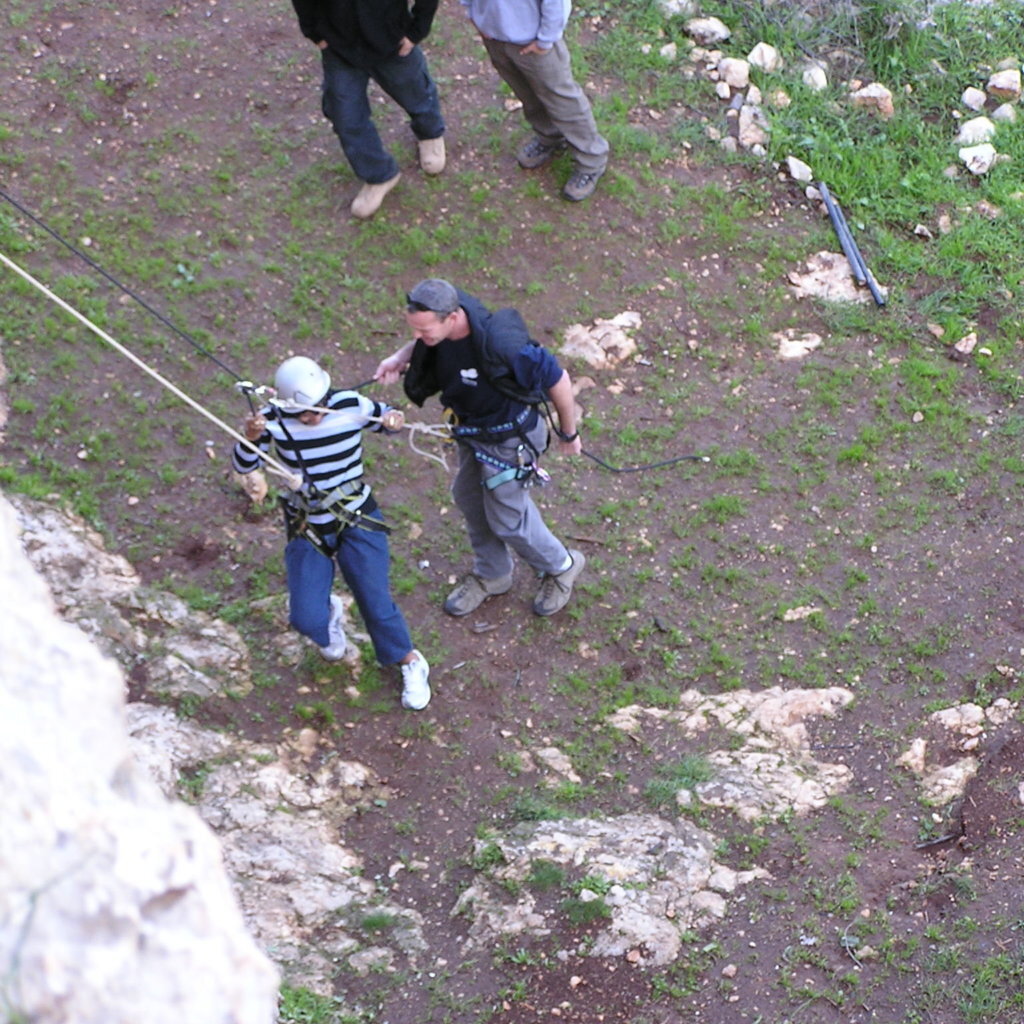
Good for families, beginners and large groups, including young children. The shade makes it usable all year, summer included. The view invites a coffee break at the top, and climbers will find cracks and vertical face here.
Equipment
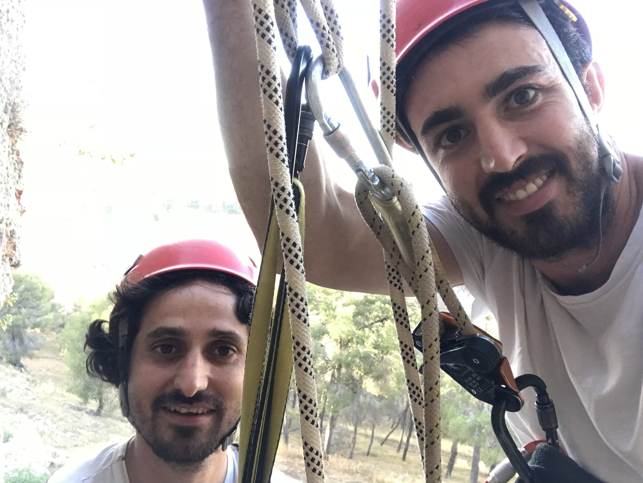
For rappelling, two medium-length ropes for independent or belayed rappels, plus long anchor slings. For climbing, a dynamic rope, quickdraws, and trad gear (cams and nuts) for the crack routes.
Photos

הר גלבוע - האזור בו ממוקם מצוק גפת Photo: Tal Oz טל עוז, CC BY 2.5
מצוק גפת, יוני 2018 Photo: נדב כהן

נוף הר גלבוע - מבט מאזור מצוק גפת Photo: יח"צ של ערוץ 10, Public domain
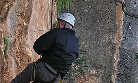
Photo: Community Ropes
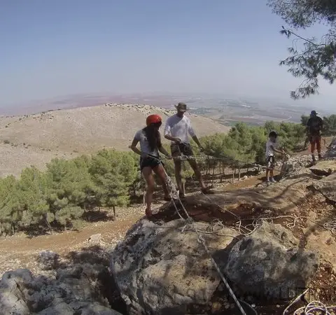
Photo: Community Ropes
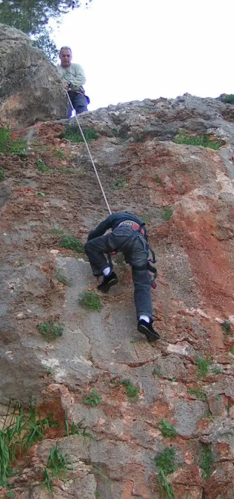
Photo: Community Ropes
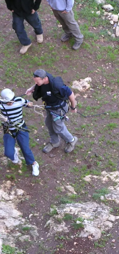
Photo: Community Ropes
מצוק גפת, אוקטובר 2017 Photo: נדב כהן



Data sources
The information on this page was collected from these sources.
- bashetach.co.ilbashetach.co.il, License: all rights reserved (blog content)
- ropes.community
- ropes.community
- radius.co.il
- canaan-canyoning.xyzcanaan-canyoning.xyz
External links
Comments on this site
General comments on the whole site. About one part? Use "Comments" next to its heading.
No comments here yet.